Explore Takht e Sulaiman
Takht e Sulaiman on Zabarwan range
Hiking Easy
- Distance
- 10 km
- Ascent
- 675 m
- Descent
- 673 m
- Duration
- 3-4 hrs
- Low Point
- 1.6 km
- High Point
- 1.8 km
- Gradient
- 11˚

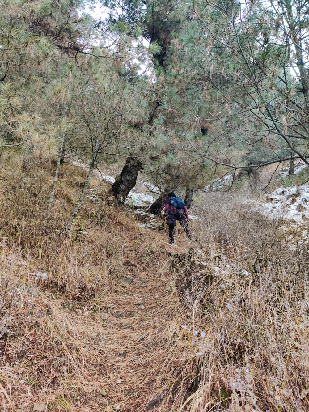
This is a popular hiking route which is generally considered to be easy. It's not remote, it features low exposure and is typically done all year round. From a low point of 1.6 km to the maximum altitude of 1.8 km, the route covers 10 km, 675 vertical metres of ascent and 673 vertical metres of descent.
Description
These are the best hiking trails in Srinagar, Whether you're getting ready to hike, bike, trail run, or explore other outdoor activities.
Difficulty
Easy
Walking along a well-kept trail that’s mostly flat. No obstacles are present.
Low Exposure

The path is on completely flat land and potential injury is limited to falling over.
Remoteness
Close to help in case of emergency.
Best time to visit
Features
- Alpine
- Wildlife
- Historical
- Picturesque
- Dog friendly
- Wild flowers
- Family friendly