GR5 Menton to St. Gingolph via GR52 and GR55

Traverse of the French Alps oin opposite direction
Difficult Hiking
- Distance
- 564 km
- Ascent
- 30 km
- Descent
- 30 km
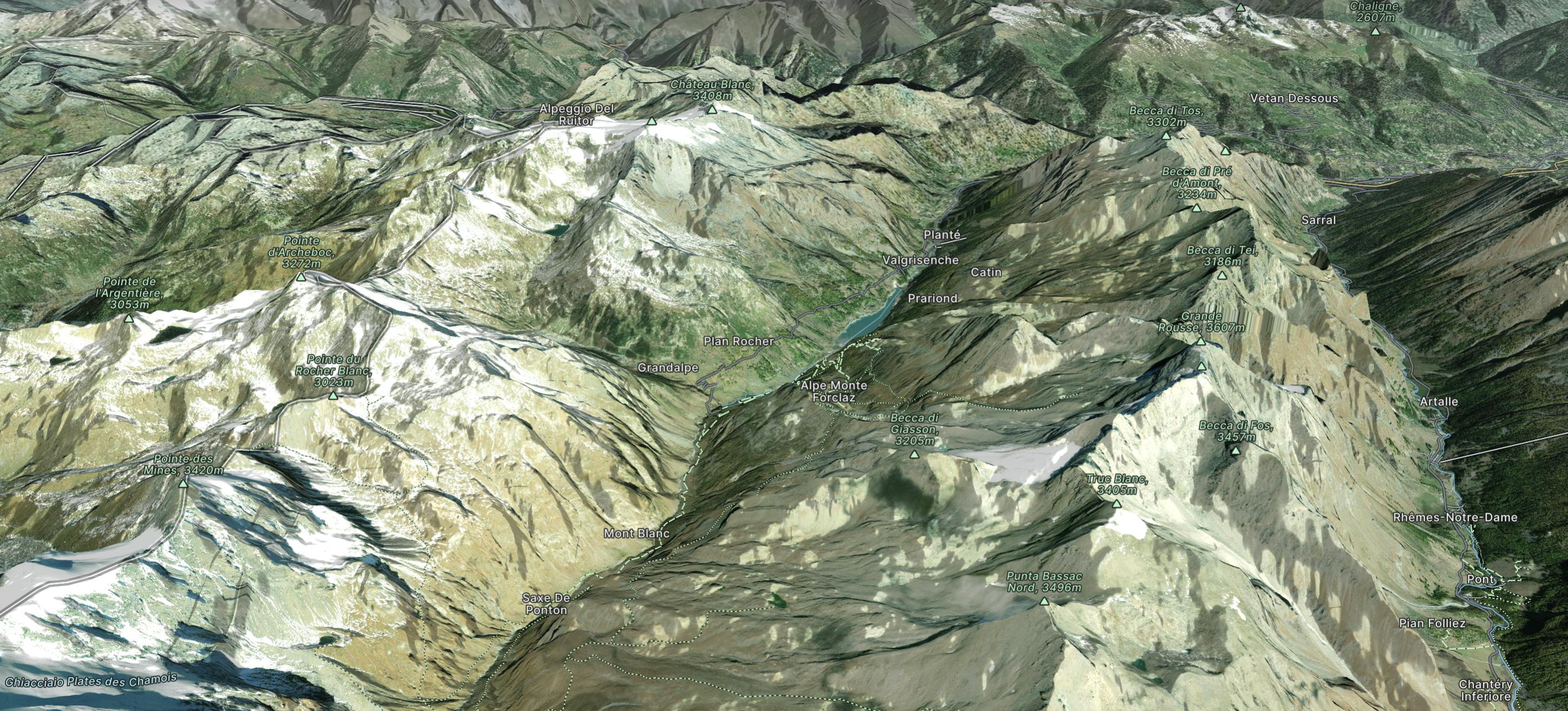
Explore Valgrisenche with curated guides of the best routes. With over 2 3D trail maps in FATMAP, you can easily discover and navigate the best trails in Valgrisenche.
No matter what your next adventure has in store, you can find a guide on FATMAP to help you plan your next epic trip.
Get a top trail recommendation in Valgrisenche, or get inspired by the 2 local adventures uploaded by the FATMAP community. Start exploring now!
Traverse of the French Alps oin opposite direction
Difficult Hiking

Trekking over the French Alps from the Geneva Lake to Mediterrian
Difficult Hiking