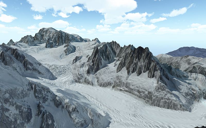
445 routes · Freeride Skiing · Hiking · Ski Touring · Trail Running · Alpine Climbing · Mountain Biking
Explore Aoste with curated guides of the best hiking trails, mountain bike trails, trail running routes, ski routes, and more. With over 336 3D trail maps in FATMAP, you can easily discover and navigate the best trails in Aoste.
No matter what your next adventure has in store, you can find a guide on FATMAP to help you plan your next epic trip.
Get a top trail recommendation in Aoste from one of our 36 guidebooks, or get inspired by the 336 local adventures uploaded by the FATMAP community. Start exploring now!


445 routes · Freeride Skiing · Hiking · Ski Touring · Trail Running · Alpine Climbing · Mountain Biking
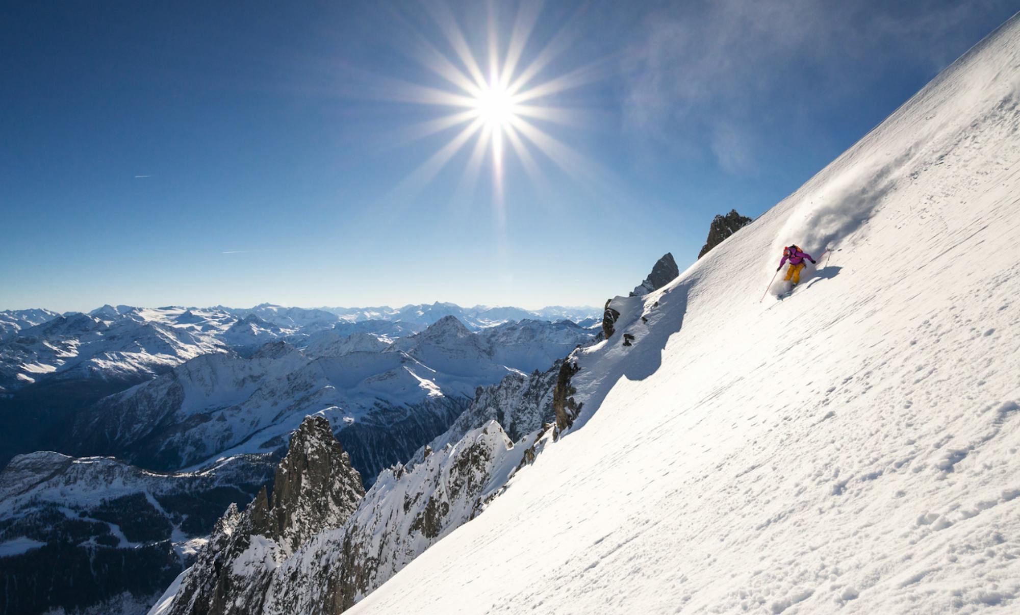
163 routes · Ski Touring · Freeride Skiing · Hiking · Alpine Climbing
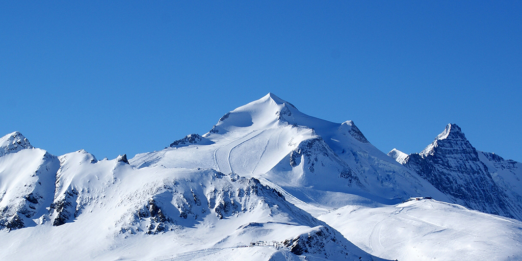
155 routes · Freeride Skiing · Ski Touring · Hiking · Mountain Biking

113 routes · Ski Touring · Hiking · Alpine Climbing · Trail Running · Mountain Biking

108 routes · Ski Touring · Freeride Skiing · Alpine Climbing
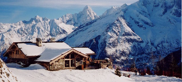
103 routes · Freeride Skiing · Ski Touring · Hiking · Alpine Climbing · Trail Running
102 routes · Freeride Skiing · Alpine Climbing · Hiking · Ski Touring · Trail Running
86 routes · Freeride Skiing · Alpine Climbing · Ski Touring
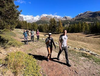
Hike to an incredible alpine hut that's home to the highest elevation cheese cellar in Europe!
Difficult Hiking
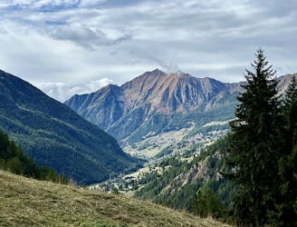
This hike may be short, but the uphill grind is steep!
Difficult Hiking
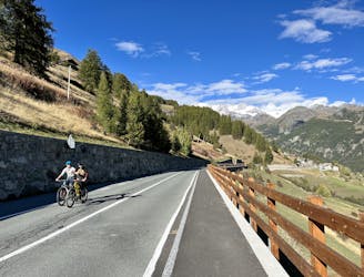
A great, quick loop mountain bike ride directly from Champoluc.
Difficult Mountain Biking
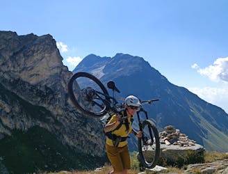
A scenic alpine ride starting on the Italian side of Col du Grand Saint Bernard and finishing in Orsières
Difficult Mountain Biking
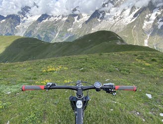
One of the best backcountry MTB rides in the area.
Severe Mountain Biking
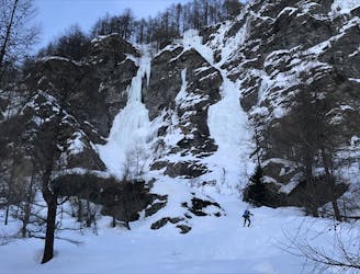
A big day into the wilderness again, up a huge glacier.
Difficult Ski Touring
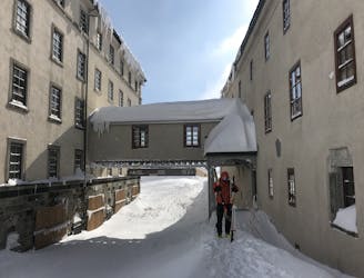
A bad weather option, positioning for a big mountain day the next day
Easy Ski Touring
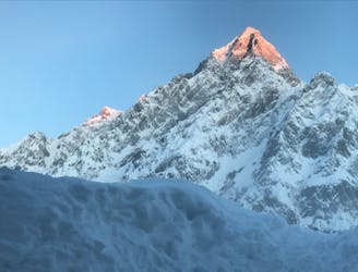
A logical link to a historic and fantastic place to spend the night
Difficult Ski Touring
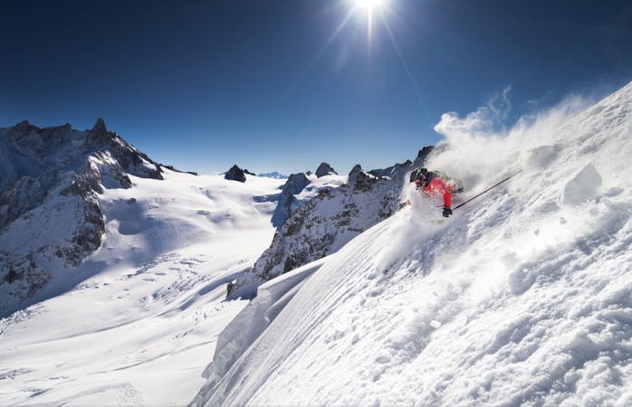
10 routes · Freeride Skiing
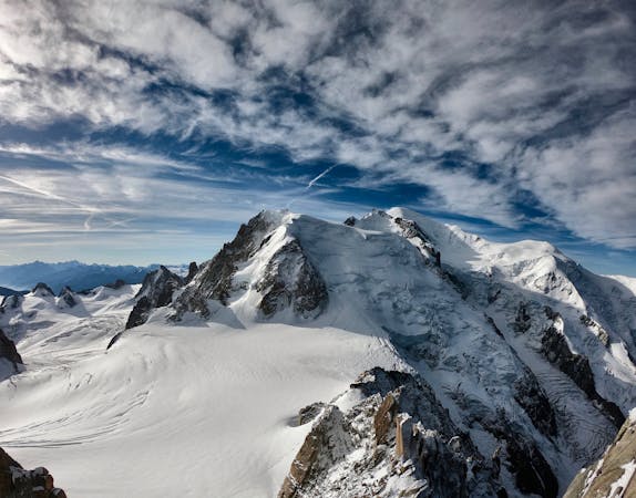
14 routes · Hiking
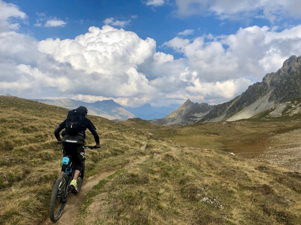
4 routes · Mountain Biking
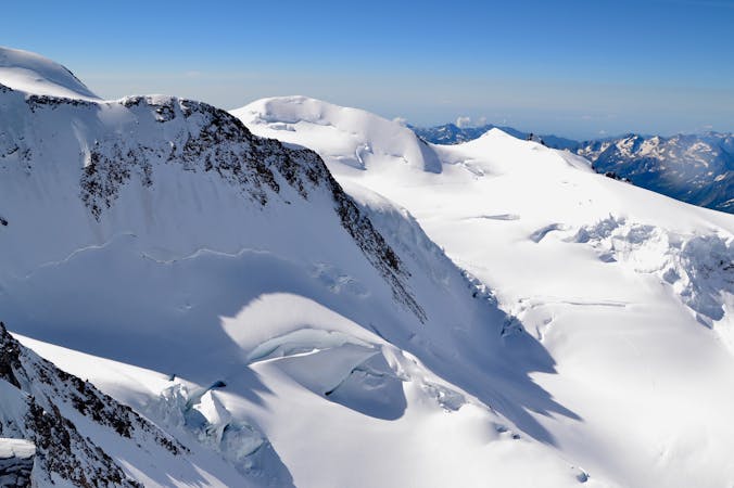
5 routes · Ski Touring
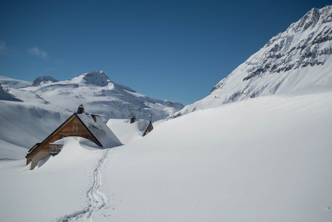
5 routes · Ski Touring
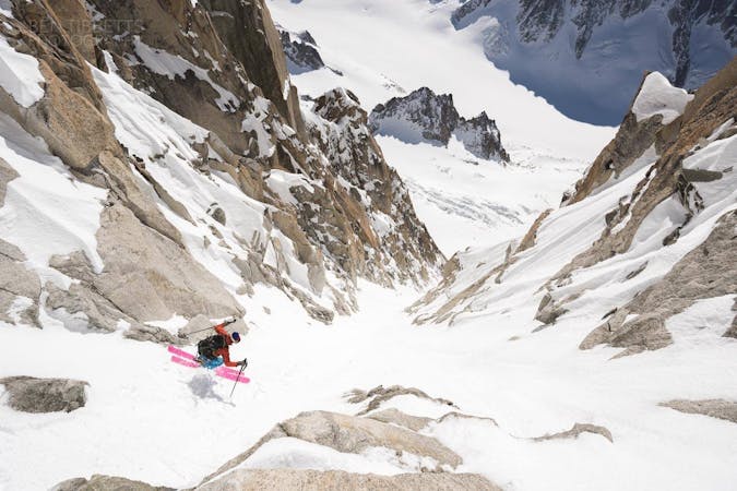
10 routes · Freeride Skiing · Ski Touring
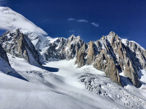
3 routes · Alpine Climbing · Hiking
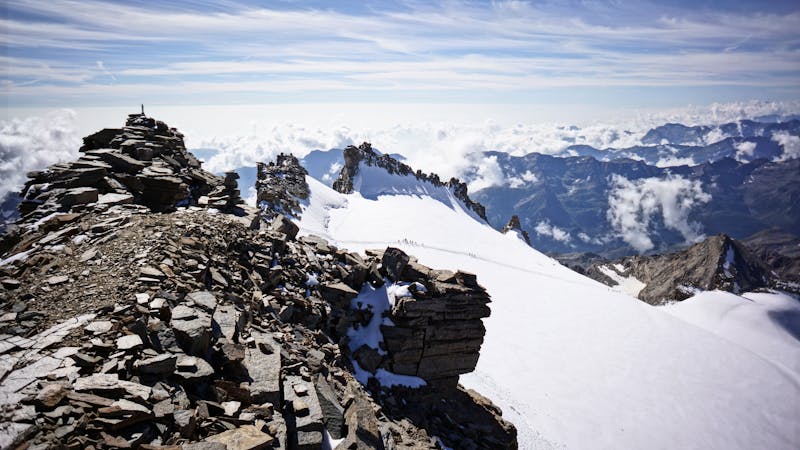
6 routes · Alpine Climbing · Hiking