Tete De La Tronche
Chamonix
Courmayeur
One of the best backcountry MTB rides in the area.
Mountain Biking Severe
- Distance
- 29 km
- Ascent
- 1.8 km
- Descent
- 2.2 km
- Duration
- 3-4 hrs
- Low Point
- 1.2 km
- High Point
- 2.6 km
- Gradient
- 16˚

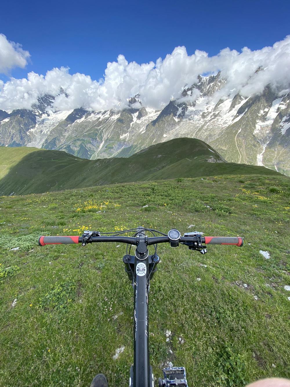
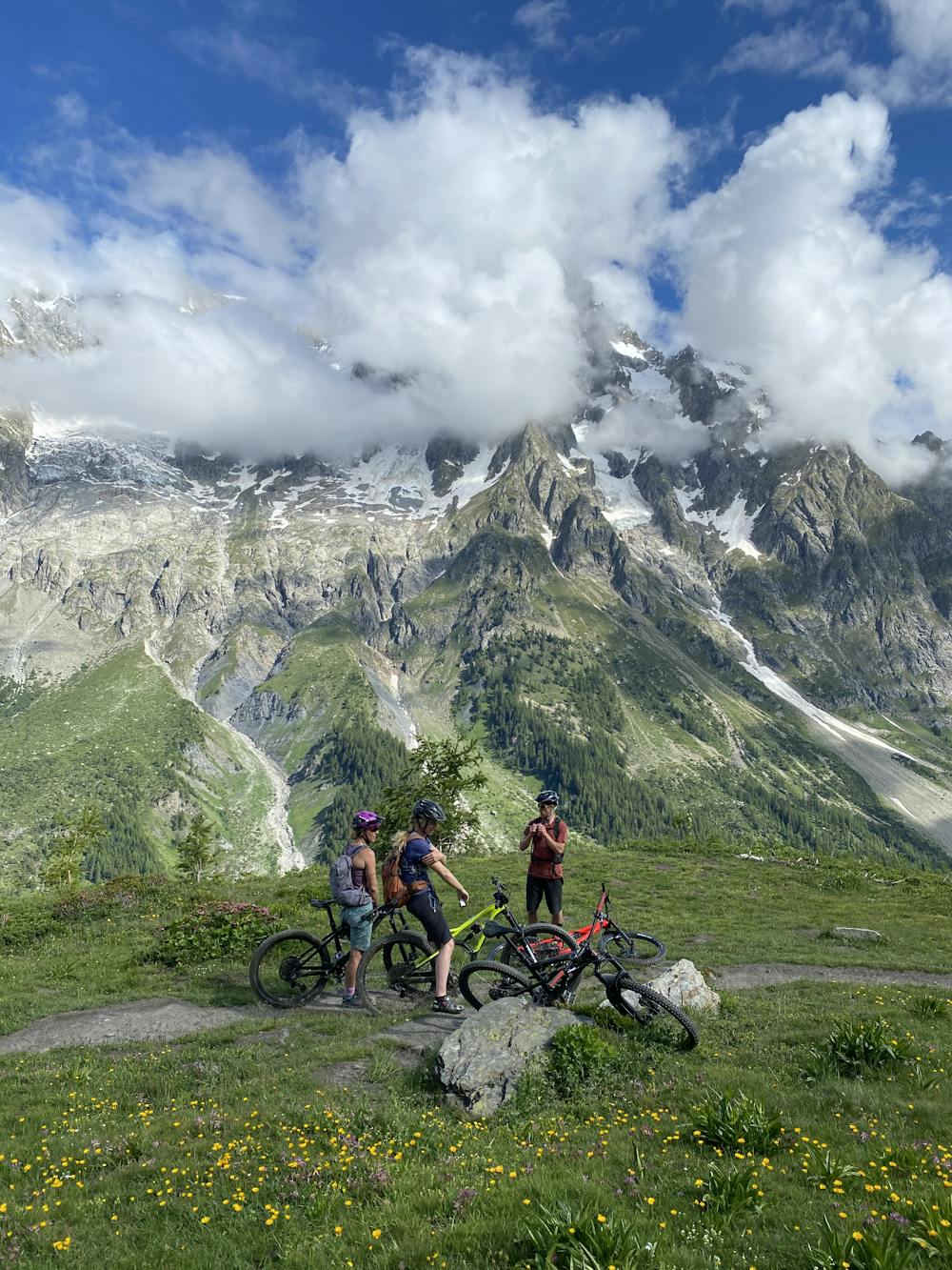
This epic ride involves some steep hike a bike sections and an epic ride down a broad ridge in some of the most spectacular high alpine scenery in the area. Excellent single track and steep and technical descent to courmayeur.
- •
- •
- •
Description
Way up: Park in Plampincieux and ride up the road a ways to a bridge that crosses the river on the right. Follow the steep 4X4 track to Lechey Desot (passing a possible descent route option back to Val Ferret). Turn left at the next major turn and continue up steeply on single track. An undulating cross country section past some pastures (Leché) eventually brings you to a turn into a valley and soon a bridge. Continue > direction Bonatti Hut for a couple hundred meters then hook up the valley on your right. Tricky rutted trails leads you into the valley (difficult pedaling) which seems to go on for a long time! From Tza de Secheron, head to the broad col with a mixture of steep technical pedaling and pushing. From the Col head right up a steep path that will require you to carry your bike (very hard going or impossible with a heavy ebike) to the top of the Teté De La Tronche (2581m) and the highpoint of the ride.
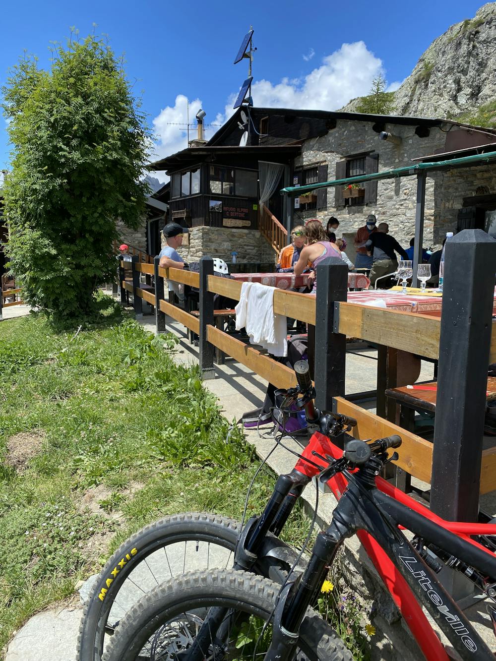
The Descent: The first part of the ride is very exposed with some technical sections but this soon gives way to excellent singletrack on the broad ridge. Some short sections of up and flat parts before a steep and technical descent off the end of the ridge. From here it is possible to head back towards Lechey Desot and descend from there back to the Val Ferret to collect the car however the GPX track shown here takes in a different section down towards Courmayeur. From this split, head towards the Rifugio Giorgio Bertone which is an epic spot for some late lunch. The final section to Courmayeur is rocky, steep and technical and should not be underestimated! From Courmayeur you can either car shuttle back to Plampincieux, (provided you pre stashed a car in courmayeur!) Pedal back or take a bus. Recommendation; Grab an ice cream at the epic Gelateria Yogurteria Caffetteria at the north end of the high street and send your guide off to get the car! ;-)
Difficulty
Severe
Widely variable, narrow trail tread with steeper grades and unavoidable obstacles of 15in/38cm tall or less. Obstacles may include unavoidable bridges 24in/61cm wide or less, large rocks, gravel, difficult root sections, and more. Ideal for advanced-level riders.
High Exposure

Some trail sections have exposed ledges or steep ascents/descents where falling could cause serious injury.
Remoteness
Little chance of being seen or helped in case of an accident.
Best time to visit
Features
- Flow
- Technical
- Hike a bike
- Picturesque
- Singletrack
- Drops
- Roots
- Rock Rolls
- Rock Gardens