Tignes to the Belvédère
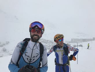
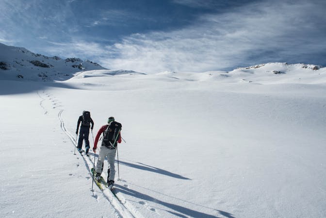
The sort of route you would only take if you were totally determined to avoid a lift!
Moderate Ski Touring
- Distance
- 26 km
- Ascent
- 916 m
- Descent
- 1.6 km
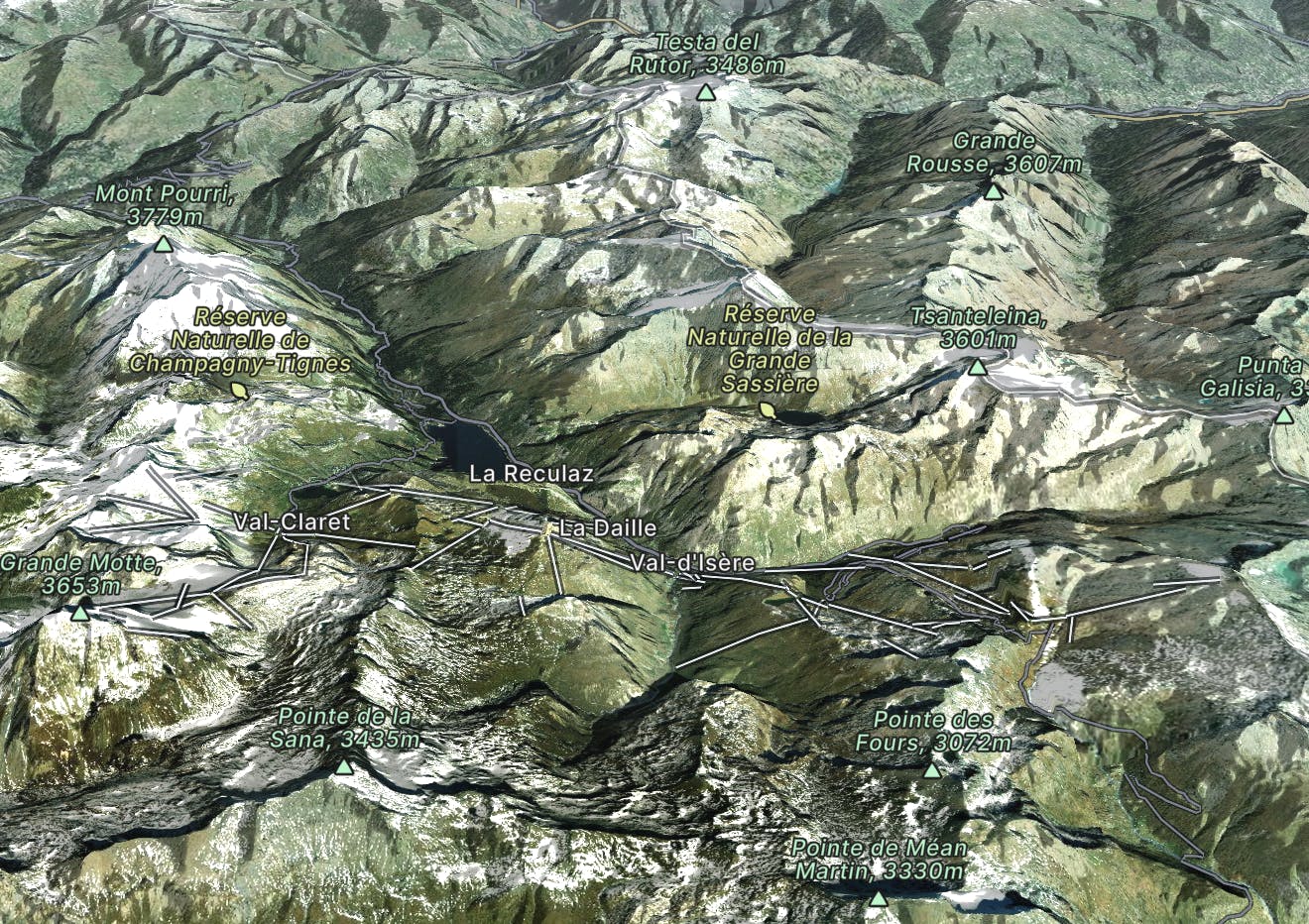
Tignes & Val d'Isere combine to create one of the world's truly great ski areas, but they each offer different and unique experiences.
Explore Tignes and Val d'Isère with curated guides of the best hiking trails, mountain bike trails, ski routes, and more. With over 155 3D trail maps in FATMAP, you can easily discover and navigate the best trails in Tignes and Val d'Isère.
No matter what your next adventure has in store, you can find a guide on FATMAP to help you plan your next epic trip.
Get a top trail recommendation in Tignes and Val d'Isère from one of our 11 guidebooks, or get inspired by the 155 local adventures uploaded by the FATMAP community. Start exploring now!

The sort of route you would only take if you were totally determined to avoid a lift!
Moderate Ski Touring
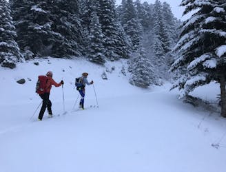
A safe option for crossing the Vanoise, avoiding as much steep ground as possible
Moderate Ski Touring
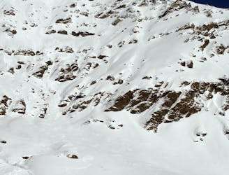
An impressive south face on a stunning peak just a stone's throw from the Espace Killy
Extreme Ski Touring
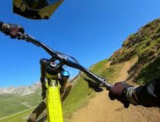
An alternative, more challenging descent section near "Gunpowder."
Difficult Mountain Biking
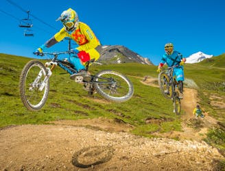
A Tignes Bike Park classic—as hard as you want it to be.
Moderate Mountain Biking
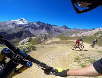
The longest trail in the Tovière area of the bike park, this is a flowy and playful track with lots of berms and jumps
Moderate Mountain Biking
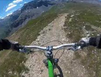
Acting as a transition trail to Tignes, this is a nice and flowy track with a gentle slope and some jumps.
Moderate Mountain Biking
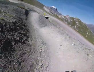
Big jumps and turns make this trail a "Toboggan for MTB."
Moderate Mountain Biking
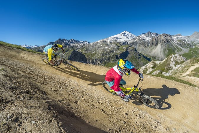
11 routes · Mountain Biking
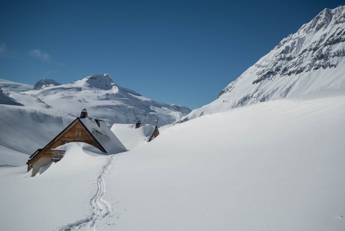
5 routes · Ski Touring
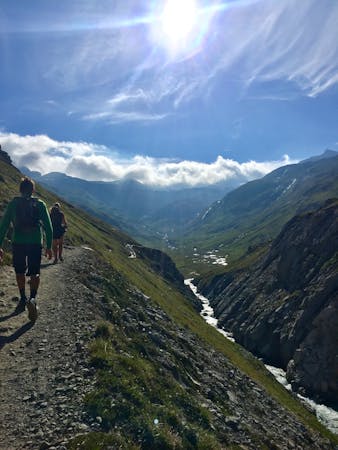
8 routes · Hiking
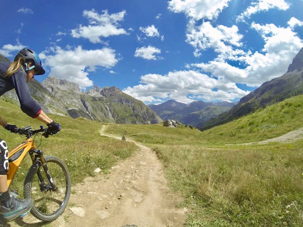
12 routes · Mountain Biking
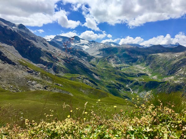
14 routes · Hiking
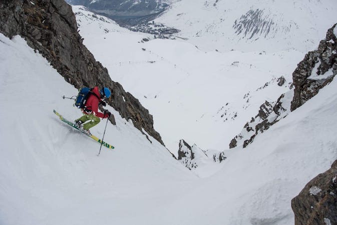
70 routes · Freeride Skiing
19 routes · Ski Touring
6 routes · Freeride Skiing