859 m away
Bike Park Tignes & Val d’Isere: Very Bike Trip
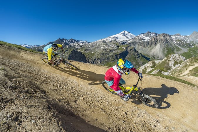
The best and hardest all-mountain trail in the area—a superb descent!
Severe Mountain Biking
- Distance
- 7 km
- Ascent
- 17 m
- Descent
- 965 m
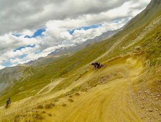
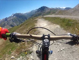
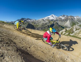
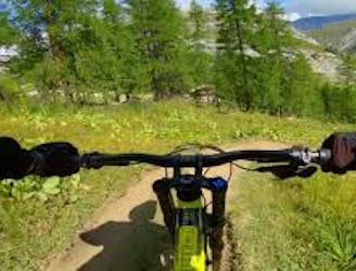
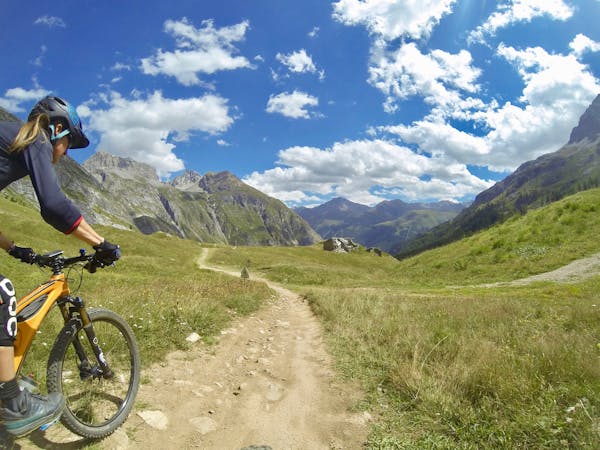
Acting as a transition trail to Tignes, this is a nice and flowy track with a gentle slope and some jumps.
Mountain Biking Moderate

This amazing trail acts as a great transition between the trail systems offered at Val d'Isere and Tignes.
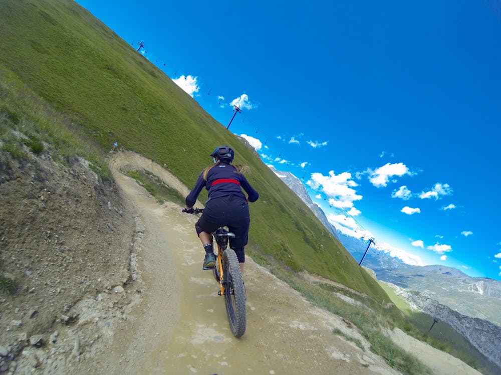
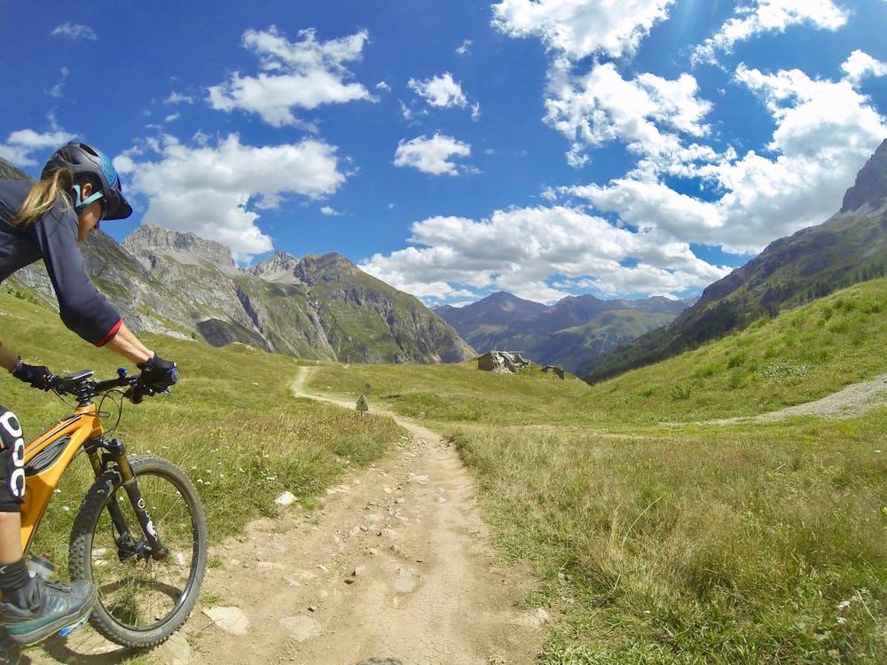
It is a nice and flowy open run with a gentle slope, super-fast berms, drops, and easy tabletop jumps (with ride-around options) to fly off in the pastures. Whether you ride it fast or slow, this track is so cool!
You will experience great views throughout the trail, but especially as you drop down into Tignes.
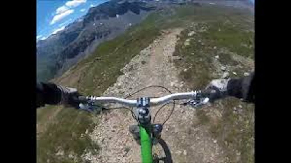
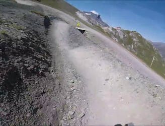
The bike park grades this a "Blue" trail. The trail is wide, easy to follow, and has been well-groomed and well-ridden. The area is very open and dusty in the summer when there is normally a lack of rain. There are some easy rocks and boulders to ride, but it is mostly smooth and a lot of fun.
To get to the Tarentaise Airline Trail, access the Tovière area via Borsat chairlift. Begin by following the "Blue Lagoon" trail then take "Sweet Sweet" to reach the start of "Tarentaise Airline." Eventually, the trail will join "Kangooride" trail to take you to Tignes resort.
The park lifts are open from the end of June to the end of August.
Moderate
Mostly stable trail tread with some variability, with unavoidable obstacles 8in/20cm tall or less. Other obstacles such as rock gullies and steep sections may exist. Ideal for lower intermediate riders.

The path is on completely flat land and potential injury is limited to falling over.
Close to help in case of emergency.
859 m away
The best and hardest all-mountain trail in the area—a superb descent!
Severe Mountain Biking
859 m away
A fast, flowing trail from the top of the Borsat lift to the bottom.
Moderate Mountain Biking
1.7 km away
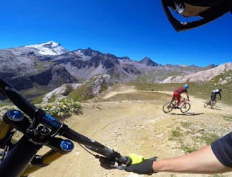
The longest trail in the Tovière area of the bike park, this is a flowy and playful track with lots of berms and jumps
Moderate Mountain Biking
1.9 km away
A Tignes Bike Park classic—as hard as you want it to be.
Moderate Mountain Biking
1.9 km away
An alternative, technical descent to the first part of Fast Wood.
Severe Mountain Biking
1.9 km away
An easy top to bottom, fast, fun, and flowy trail.
Easy Mountain Biking
1.9 km away
Big jumps and turns make this trail a "Toboggan for MTB."
Moderate Mountain Biking
1.9 km away
This trail features a mix of machine-groomed and natural—it's a fast, flowy and super fun track with a big gap jump.
Difficult Mountain Biking
2.2 km away
An alternative, more challenging descent section near "Gunpowder."
Difficult Mountain Biking
2.3 km away
Alternative, technical descent for the final third of Fast Wood.
Severe Mountain Biking
11 routes · Mountain Biking
12 routes · Mountain Biking