3 routes · Mountain Biking · Hiking
A great, quick loop mountain bike ride directly from Champoluc.
Mountain Biking Difficult

If you're looking for a quick loop ride from Champoluc, look no further than this fantastic romp on Ru Courtod and Trail 5!
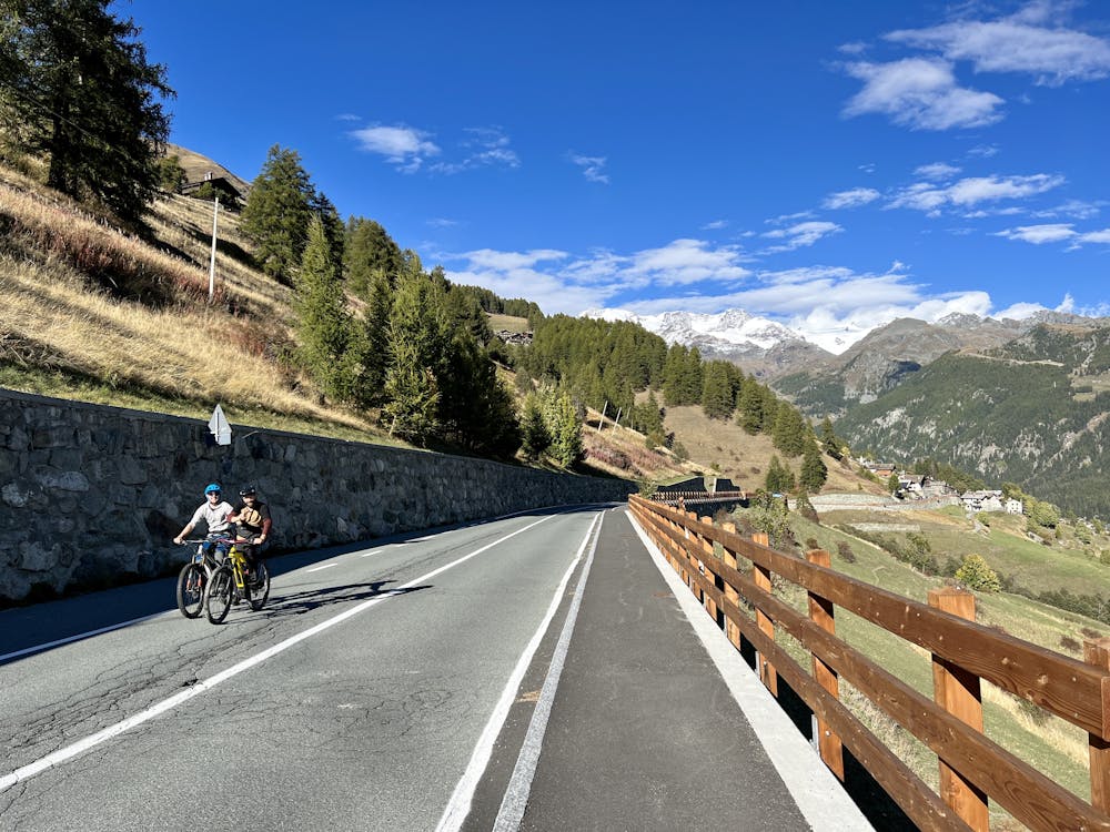
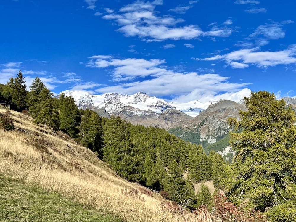
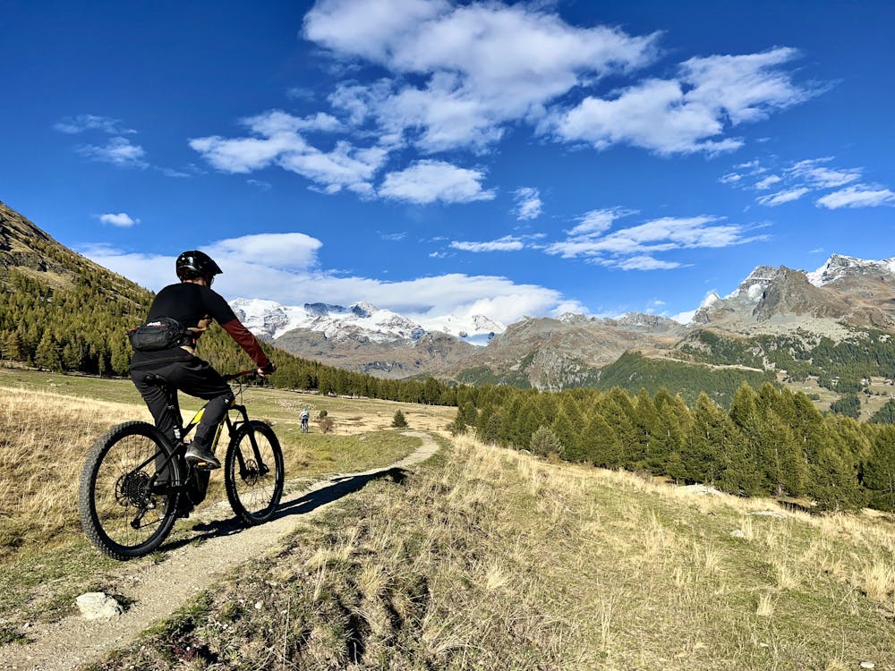
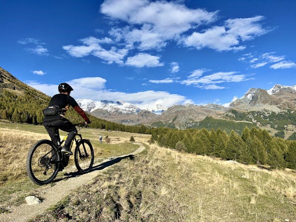
The ride begins near downtown Champoluc by climbing up a paved road along the mountainside. Watch for a sharp right turn to carry on up the mountain and, eventually, a left turn onto a gravel road. Follow signs for La Tchavana hut. As you climb, you'll be distracted from the pain of the grind by the absolutely fabulous views! You'll enjoy incredible vistas of the glacier high on top of the mountains on a clear day.
While you can climb all the way to La Tchavana if you so choose, a more interesting choice is to turn right onto the Ru Courtod trail, which follows an old canal (what would be called a "bisse" in Switzerland). This stretch of Ru Courtod is an absolute gem, providing mellow, flowy pedaling and incredible views of the glacier directly in front of you!
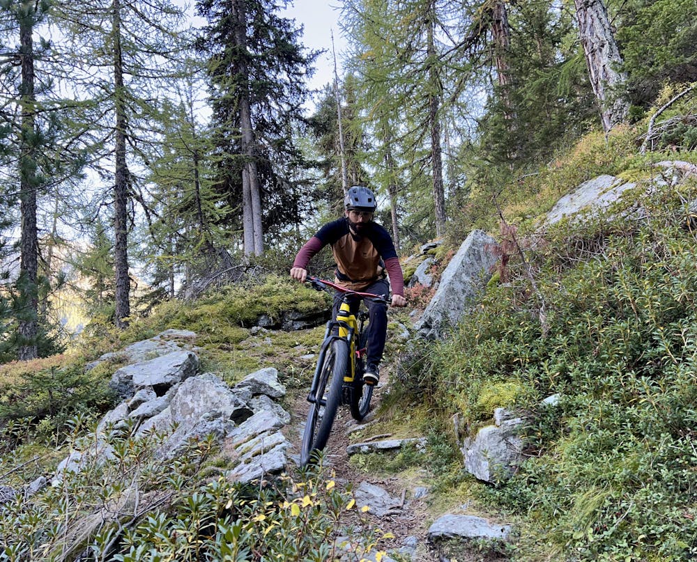
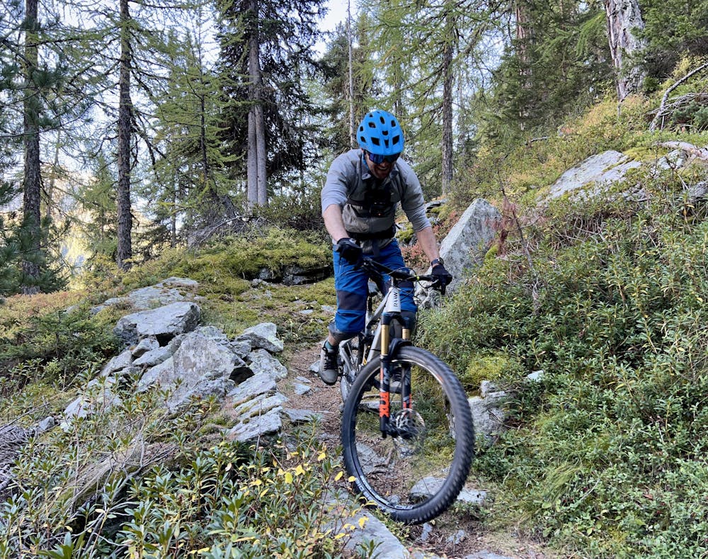
There are several ways to connect to the main descent, but the route shown here follows singletrack all the way across the mountain. A couple of sections of the trail are getting overgrown, and there are a few rocky chokepoints that you might need to wheel the bike through, but overall the trail is incredibly rideable and enjoyable.
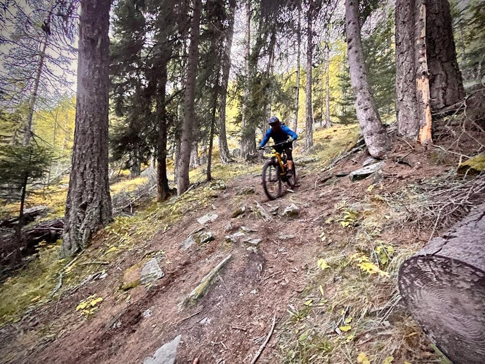
When it's time to go down, drop that saddle and get ready to rip! This steep descent features fantastic dark, loamy dirt on steep downhill slopes. While you'll have to negotiate a few rocky bits, including one rocky chokepoint, overall this trail isn't nearly as rocky as you might expect from such steep terrain in the Alps. While the steepness might warrant a "severe" rating, the technicality is only "difficult" at best.
In order to link some of the corners together, you'll have to opt for a few "French" lines, but this fantastic downhill is surprisingly rideable and rippable! Be sure to approach some of the blind sections with caution, but everything rolls quite predictably.
The route shown here takes a sharp right turn about 2/3 of the way down to finish the descent on singletrack. This final stretch of the descent is the steepest and rowdiest portion of the trail. For an easier option, continue straight/left to traverse across the hill and finish the descent on a forest road.
Before you know it, you'll drop out on the valley floor, wondering why this trail couldn't be longer?!
Difficult
Mostly stable trail tread with some variability featuring larger and more unavoidable obstacles that may include, but not be limited to: bigger stones, roots, steps, and narrow curves. Compared to lower intermediate, technical difficulty is more advanced and grades of slopes are steeper. Ideal for upper intermediate riders.

The trail contains some obstacles such as outcroppings and rock which could cause injury.
Away from help but easily accessed.
3 routes · Mountain Biking · Hiking