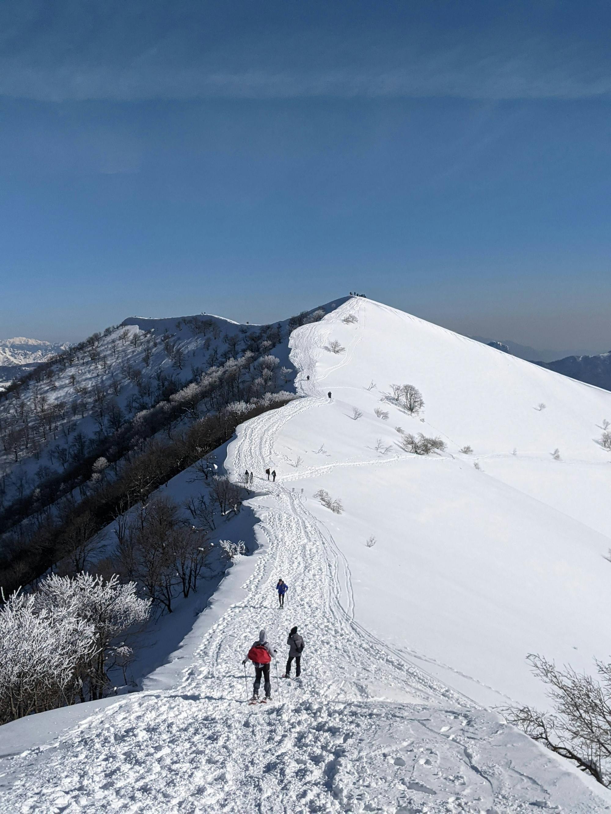
Lemna - Palanzone - Preaola - Pognana - Lemna

Anello sopra il lago di Como
Difficult Hiking
- Distance
- 15 km
- Ascent
- 1.5 km
- Descent
- 1.5 km
Go hiking in Como with curated guides of the best hikes across the region. With over 8 3D trail maps in FATMAP, you can easily discover and navigate the best trails in Como.
No matter what your next adventure has in store, you can find a guide on FATMAP to help you plan your next epic trip.
Get a top hiking trail recommendation in Como, or get inspired by the 8 local adventures uploaded by the FATMAP community. Start exploring now!
Anello sopra il lago di Como
Difficult Hiking

A wanderlust place, where you will feel great accomplishment if you reach the summit. "On top of the world".
Moderate Hiking
![Pian del Tivano - Monte San Primo circle route [south ridge]](https://fatmap-digitiser-assets.imgix.net/6fc99c82-1276-4886-b83a-83735d21ff3d?w=328&h=250&fit=crop&auto=compress%2Cformat)
Hard but fast ring from Pian del Tivano to the summit through south ridge
Difficult Hiking
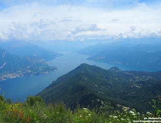
Panoramic walk for the whole family in the Larian Triangle. The Lariano Triangle is a portion of the territory enclosed between the two branches of Lake Como, has as its summit the tip of Bellagio and as its base a mountain range of mostly round and gentle shapes that overlook the Alta Brianza and its lakes.
Moderate Hiking