Pian del Tivano - Monte San Primo circle route [south ridge]
Hard but fast ring from Pian del Tivano to the summit through south ridge
Hiking Difficult
- Distance
- 8.6 km
- Ascent
- 768 m
- Descent
- 769 m
- Duration
- 3-4 hrs
- Low Point
- 937 m
- High Point
- 1.7 km
- Gradient
- 22˚
![Pian del Tivano - Monte San Primo circle route [south ridge] Map](https://fatmap-adventure-screenshots.imgix.net/routes/2725734-blank.png?auto=compress%2Cformat)
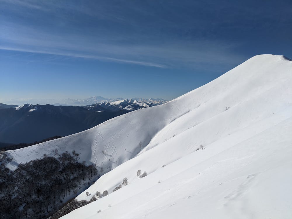
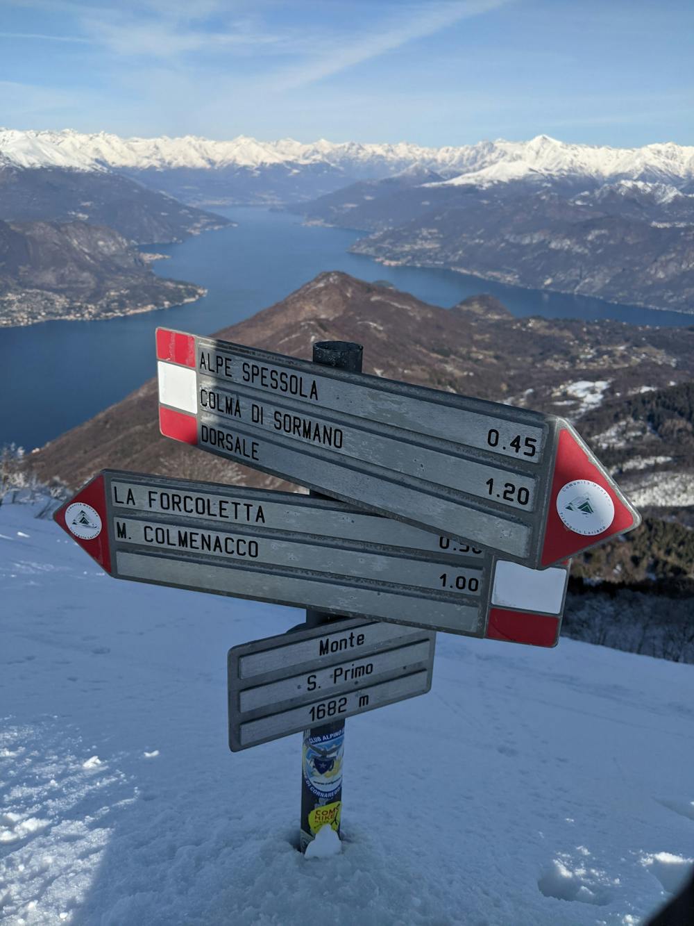
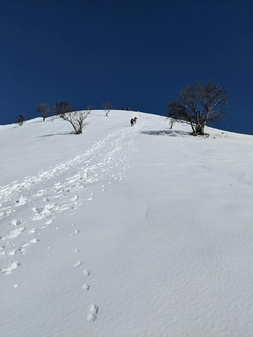
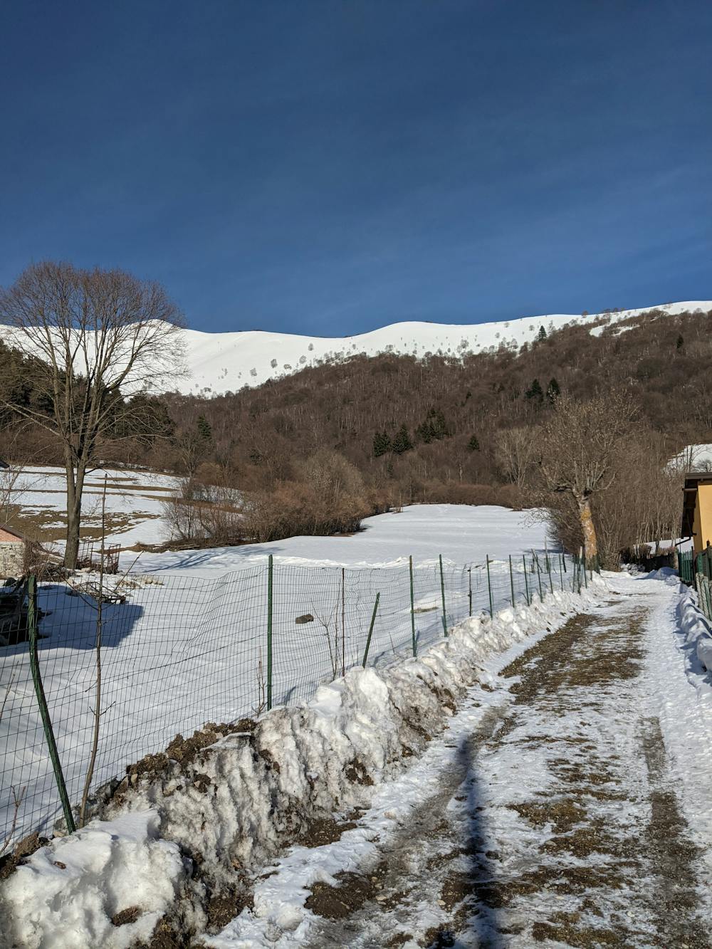
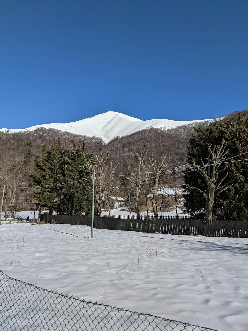
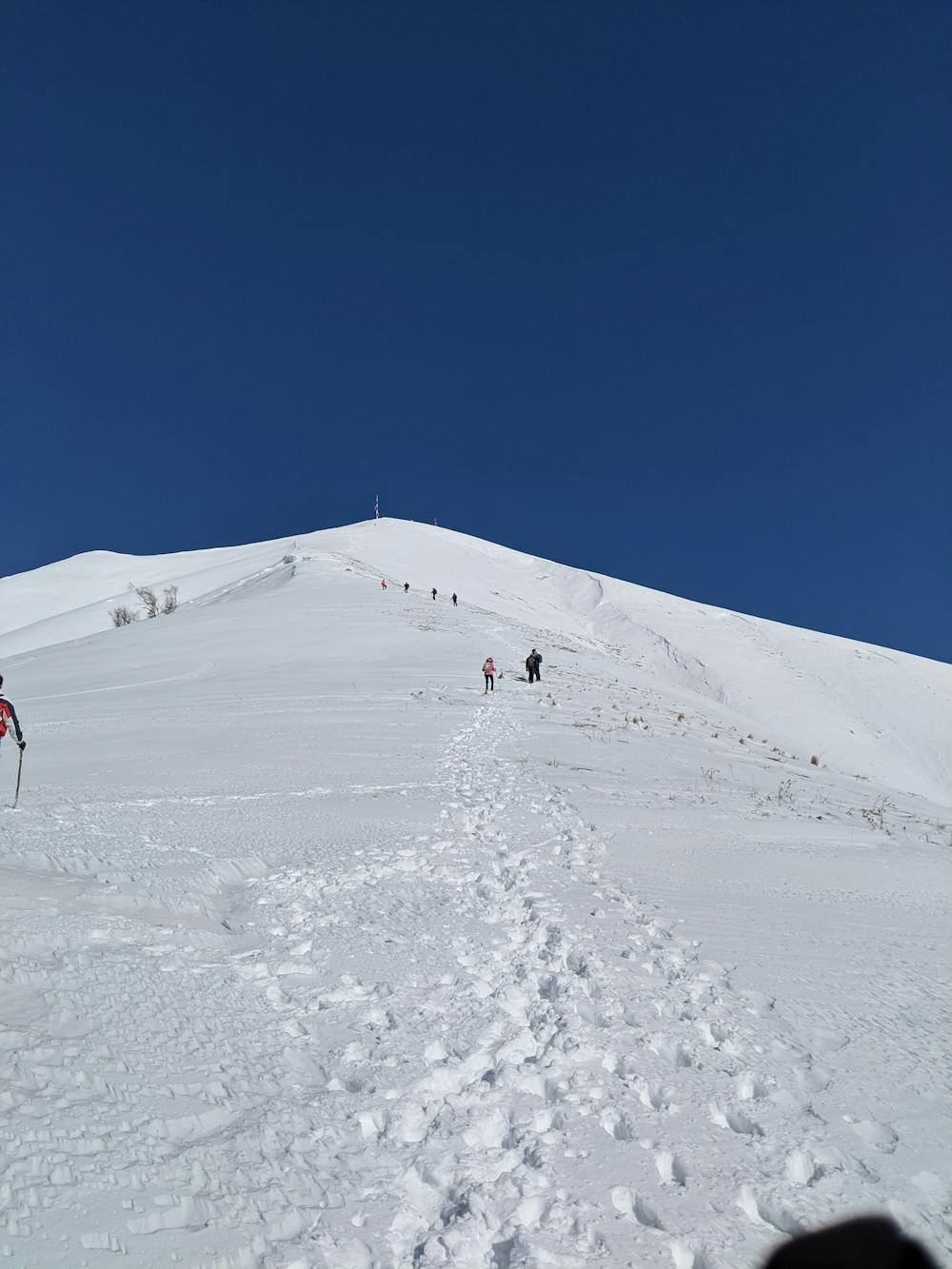
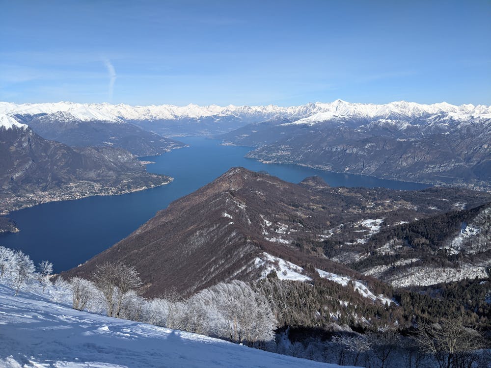
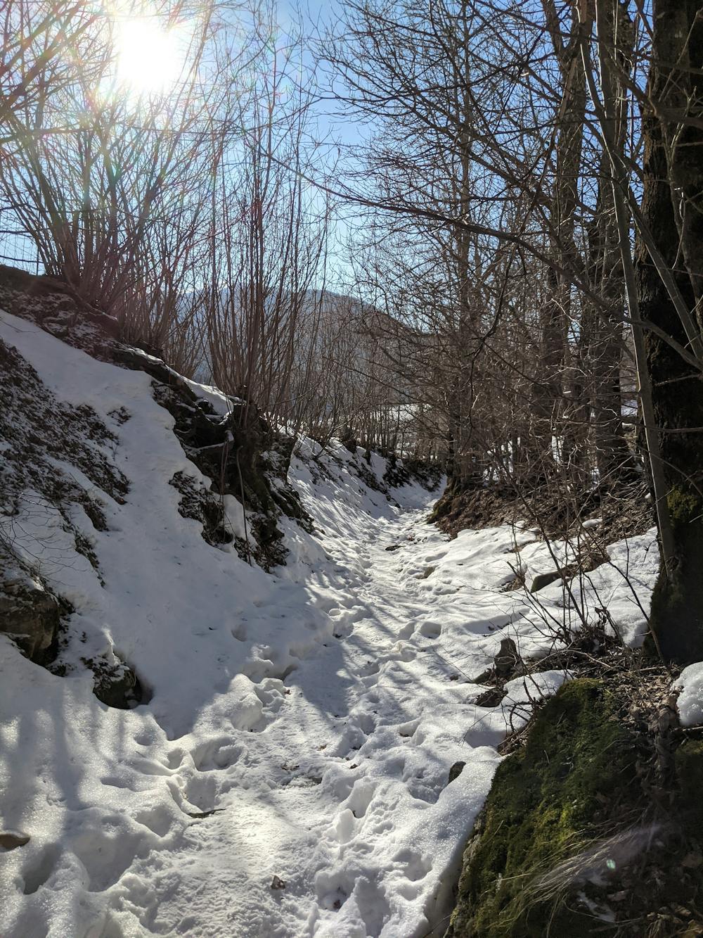
You can park your car on the road from Pian del Tivano trough Nesso. Follow the directions towards "B&B Il Tivano" and "mount de volt". After bypassing them, you must start climb, before into the woods then on the exposed ridge, with a fantastic view. During the winter the slope and the snow can make it tiring the climbing. Once on the summit, after admiring the stunning, landscape go east e start the rapid but simple descent. Once on the woods, always leave the fence on your left.
![[Descent]East ridge](https://fatmap-digitiser-assets.imgix.net/6fc99c82-1276-4886-b83a-83735d21ff3d?w=1000&fit=crop&auto=compress%2Cformat)
- •
- •
- •
- •
- •
- •
- •
- •
- •
Difficulty
Difficult
Hiking trails where obstacles such as rocks or roots are prevalent. Some obstacles can require care to step over or around. At times, the trail can be worn and eroded. The grade of the trail is generally quite steep, and can often lead to strenuous hiking.
Medium Exposure

The trail contains some obstacles such as outcroppings and rock which could cause injury.
Remoteness

Close to help in case of emergency.
Best time to visit
Features
- Summit Hike