Alta Via Dei Monti Liguri: Passo della Cappelletta to Ceparana
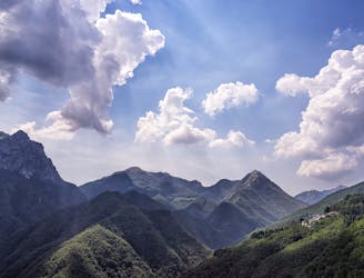
Stage 8 of the magnificent high alpine trail through Liguria.
Difficult Hiking
- Distance
- 52 km
- Ascent
- 1.8 km
- Descent
- 2.8 km
Go hiking in Massa-Carrara with curated guides of the best hikes across the region. With over 8 3D trail maps in FATMAP, you can easily discover and navigate the best trails in Massa-Carrara.
No matter what your next adventure has in store, you can find a guide on FATMAP to help you plan your next epic trip.
Get a top hiking trail recommendation in Massa-Carrara from one of our 1 guidebooks, or get inspired by the 8 local adventures uploaded by the FATMAP community. Start exploring now!
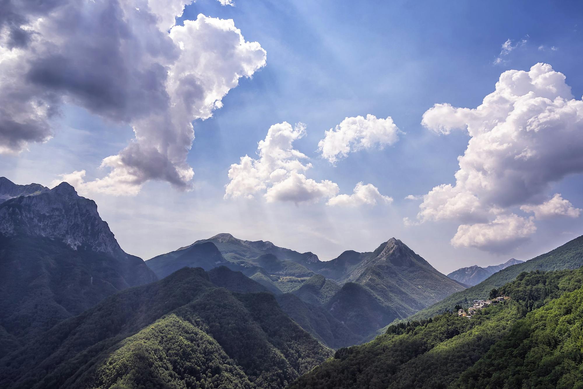
Stage 8 of the magnificent high alpine trail through Liguria.
Difficult Hiking

Foce di Pianza trail CAI 172 Monte Spallone (cresta dello spallone)
Difficult Hiking

Sentiero che parte dal parcheggio di Campocecina e incontra dopo poco il rifugio Carrara. La prima parte nel sottobosco è molto suggestiva, si prosegue poi mantenendo la destra per ammirare le cave di marmo e poi salire alla vetta. Ritorno dall'altra direttissima, molto ripida ma senza difficoltà.
Moderate Hiking

Via vandelli da pavullo
Severe Hiking

Hiking semplice passando dal Monte Molinatico
Moderate Hiking

Anello Colonnata - David - Vergheto - Cima d'Uomo - Colonnata
Moderate Hiking

Vergheto - David (Cima di di Gioia)
Easy Hiking

8 routes · Hiking