
8 routes · Hiking
Stage 8 of the magnificent high alpine trail through Liguria.
Also in La Spezia, Italy • Parma, Italy
Hiking Difficult

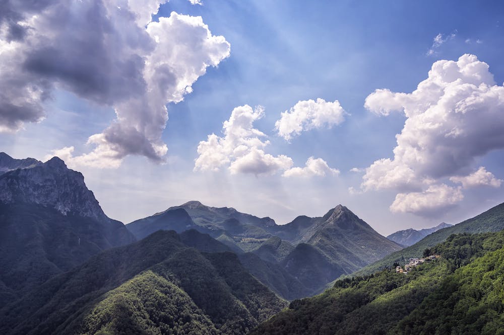
The last stretch of the Alta Via Dei Monti Liguri is a journey through stunning landscapes and areas rich in biodiversity and historical significance. You will experience everything from breezy grasslands to wildflower meadows, and pass through deciduous, coniferous, and birch forests. Cross the Calzavitello and Rastello passes, and you will come to an observation point where on a clear day, you can enjoy a stunning panorama of the Apuan Alps, the Gulf of Poets, and Mt. Cornoviglio. Stop at the historic town of Bolano before you continue on to your final destination, Ceparana, where you have the option of taking public transport to the nearby Montemarcello-Magra Park, Montemarcello, and Bocca di Magra. Sources
Difficult
Hiking trails where obstacles such as rocks or roots are prevalent. Some obstacles can require care to step over or around. At times, the trail can be worn and eroded. The grade of the trail is generally quite steep, and can often lead to strenuous hiking.

Some trail sections have exposed ledges or steep ascents/descents where falling could cause serious injury.

Away from help but easily accessed.
8 routes · Hiking