Da San Giuseppe a Cima Motta ⛷️
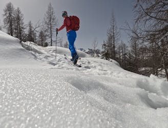
Classico percorso sci alpinistico con discesa sulle piste da sci del Valmalenco Ski Resort
Moderate Ski Touring
- Distance
- 11 km
- Ascent
- 871 m
- Descent
- 870 m
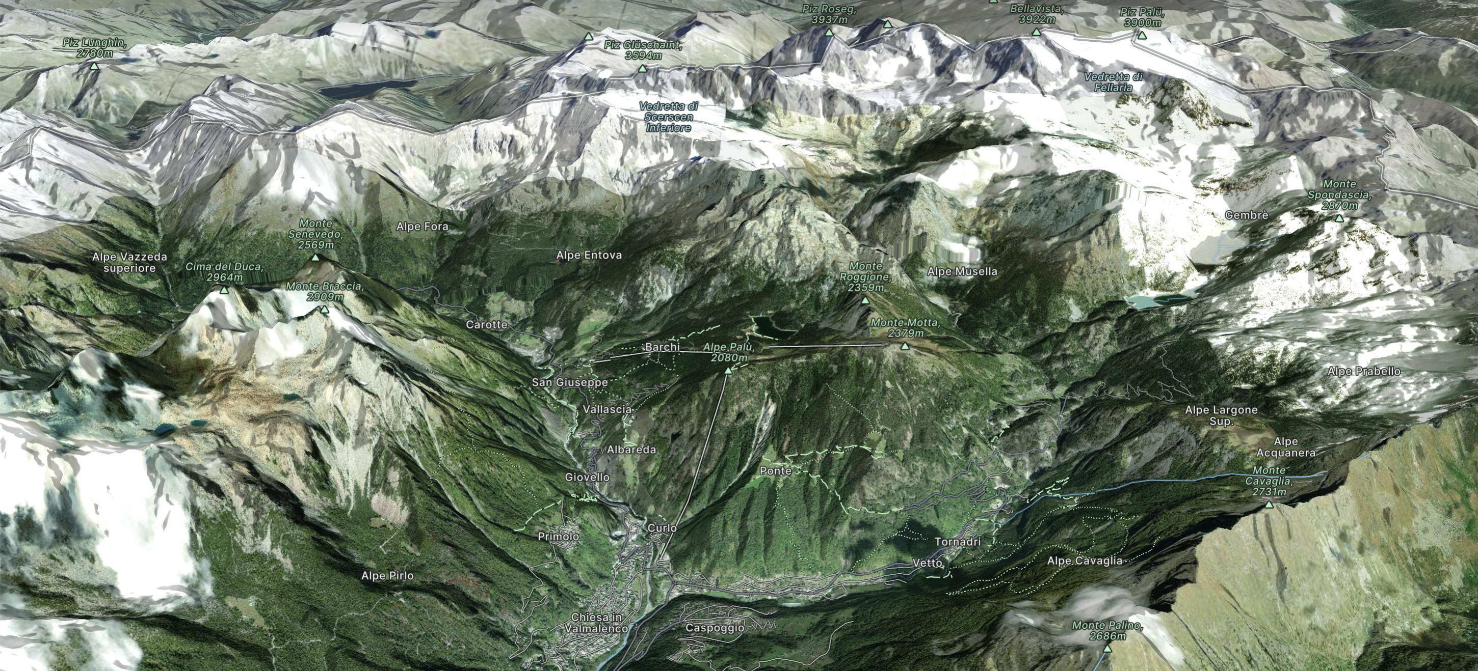
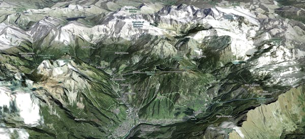
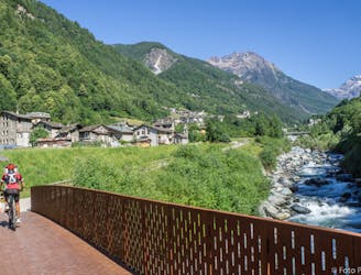
Valmalenco wedges into the western Rhaetian Alps; more precisely, it divides the Bernina Alps in two, leaving the Val Bregaglia Mountains to the west and the Scalino Group and the Bernina Massif to the east.
Explore Valmalenco with curated guides of the best routes. With over 9 3D trail maps in FATMAP, you can easily discover and navigate the best trails in Valmalenco.
No matter what your next adventure has in store, you can find a guide on FATMAP to help you plan your next epic trip.
Get a top trail recommendation in Valmalenco, or get inspired by the 9 local adventures uploaded by the FATMAP community. Start exploring now!
Classico percorso sci alpinistico con discesa sulle piste da sci del Valmalenco Ski Resort
Moderate Ski Touring
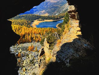
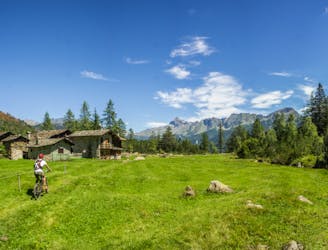
Great hiking in Valmalenco with a wonderful landscape of Lake Palù
Moderate Hiking
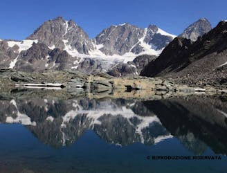
5^ TAPPA RIFUGIO PALU' - RIFUGIO MARINELLI
Moderate Hiking
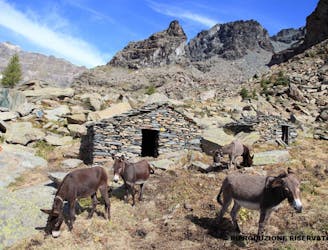
4^ TAPPA CHIAREGGIO - RIFUGIO PALU'
Moderate Hiking
Chiesa in Valmalenco, strada per Primolo, Lago di Chiesa, Alpe Airale, Rifugio Bosio, Lago di Chiesa, Alpe Pirlo, strada per Lago di Chiesa - ritorno a Chiesa Valmalenco
Difficult Mountain Biking
Chiesa in Valmalenco, strada per Primolo, Lago di Chiesa, Alpe Airale, Rifugio Bosio, Lago di Chiesa, Alpe Pirlo, strada per Lago di Chiesa - ritorno a Chiesa Valmalenco
Difficult Mountain Biking
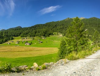
da Sondrio, Ponchiera, Cagnoletti, Spriana,Torre di Santa Maria, Chiesa
Moderate Mountain Biking

FAB, funivia al Bernina
Easy Freeride Skiing