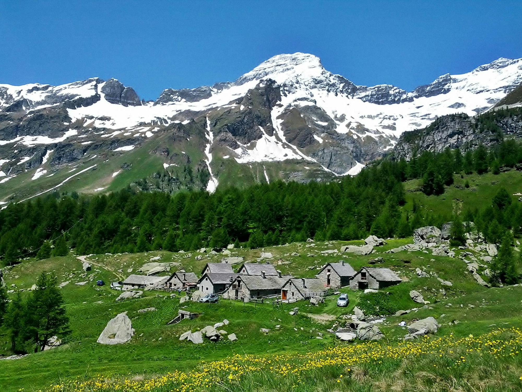
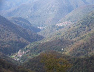
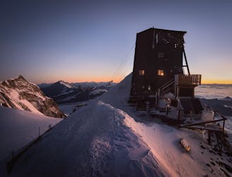
Alpe Veglia to Alpe Devero
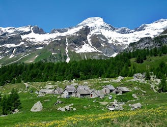
The 52nd and final stage of Grande Traversate delle Alpi (GTA), the famous long-distance hiking trail across the Italian Alps.
Difficult Hiking
- Distance
- 13 km
- Ascent
- 878 m
- Descent
- 994 m
Go hiking in Verbano-Cusio-Ossola with curated guides of the best hikes across the region. With over 44 3D trail maps in FATMAP, you can easily discover and navigate the best trails in Verbano-Cusio-Ossola.
No matter what your next adventure has in store, you can find a guide on FATMAP to help you plan your next epic trip.
Get a top hiking trail recommendation in Verbano-Cusio-Ossola from one of our 2 guidebooks, or get inspired by the 44 local adventures uploaded by the FATMAP community. Start exploring now!
The 52nd and final stage of Grande Traversate delle Alpi (GTA), the famous long-distance hiking trail across the Italian Alps.
Difficult Hiking

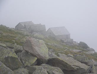
2 days itinerary with sleeping at Gries Bivac
Difficult Hiking

Crest trail in the Val Grande national park.
Severe Hiking

Salita alla cima del Ragno partendo da Patqueso
Difficult Hiking

da Cannero a Cannero passando dal Morissolo
Moderate Hiking
Rimella - Bocchetta di Campello
Moderate Hiking
Santa Maria di Fobello - Colle di Baranca - Colle d' Egua
Moderate Hiking
Corte - Alpe Sacchi
Easy Hiking
Rima - Alpe Vallezö - Rifugio Vallè - Colle del Vallè
Difficult Hiking
Alagna (Acqua Bianca) - Colle del Turlo
Difficult Hiking
Carcoforo - Rifugio Boffalora - Colle d' Egua
Moderate Hiking

difficult but nice experience
Difficult Hiking
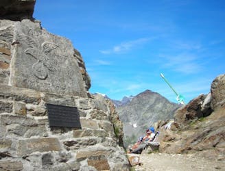
The Cresta Rey is a serious mountaineering route. It is a beautiful climb that splits the steep south face of the Dufourspitze and leads directly to the summit cross.
Extreme Hiking