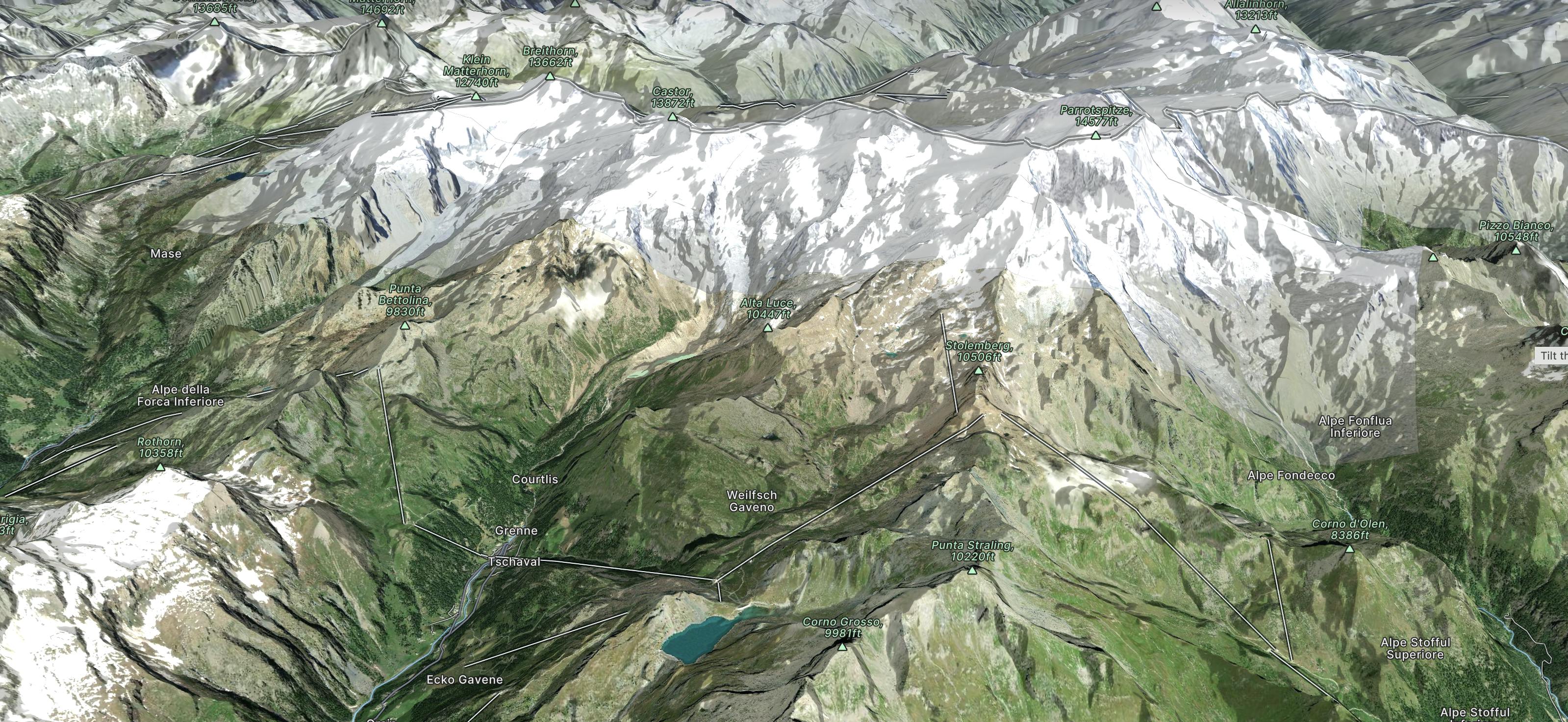
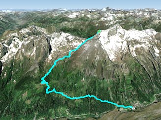
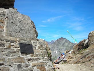
Alta Via Tullio Vidoni

L’Alta Via Tullio Vidoni permette di compiere un periplo completo attorno al Corno Bianco in Valsesia
Difficult Hiking
- Distance
- 16 km
- Ascent
- 1.7 km
- Descent
- 1.7 km
One of Europe's best kept secrets with three unspoilt valleys linked by amazing pistes and extensive off-piste terrain due to being surrounded by some of Europe's tallest mountains.
Go hiking in Monte Rosa with curated guides of the best hikes across the region. With over 163 3D trail maps in FATMAP, you can easily discover and navigate the best trails in Monte Rosa.
No matter what your next adventure has in store, you can find a guide on FATMAP to help you plan your next epic trip.
Get a top hiking trail recommendation in Monte Rosa from one of our 5 guidebooks, or get inspired by the 163 local adventures uploaded by the FATMAP community. Start exploring now!
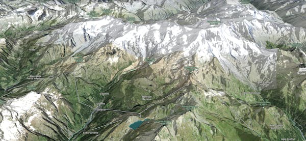
L’Alta Via Tullio Vidoni permette di compiere un periplo completo attorno al Corno Bianco in Valsesia
Difficult Hiking
Strada di ritorno dal Testa Grigia
Moderate Hiking

Passo dei Salati - Stolemberg - Arrivo vecchia Indren - Arrivo nuova Indren -Rif Mantova - Gabiet
Moderate Hiking
Pedemonte frazione di Alagna - Colle Mud
Difficult Hiking
Alagna (Acqua Bianca) - Colle del Turlo
Difficult Hiking

Alpe Vigne Superiore - Rif. Barba Ferrero - Capanna Luigina Resegotti
Difficult Hiking
Sant'Antonio - Rif. Pastore - Capanna Gugliermina ex Capanna Valsesia
Difficult Hiking
Alagna - Capanna Gnifetti - La via classica di salita al Monte Rosa
Difficult Hiking

20 routes · Alpine Climbing · Hiking