Via Alpina: Gafadura Hut to Sücka
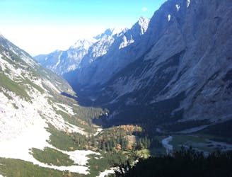
Day 2 of the 7 day Via Alpina hiking itinerary along the limestone cliffs of Rätikon.
Difficult Hiking
- Distance
- 12 km
- Ascent
- 871 m
- Descent
- 871 m
Explore Balzers with curated guides of the best routes. With over 3 3D trail maps in FATMAP, you can easily discover and navigate the best trails in Balzers.
No matter what your next adventure has in store, you can find a guide on FATMAP to help you plan your next epic trip.
Get a top trail recommendation in Balzers from one of our 1 guidebooks, or get inspired by the 3 local adventures uploaded by the FATMAP community. Start exploring now!
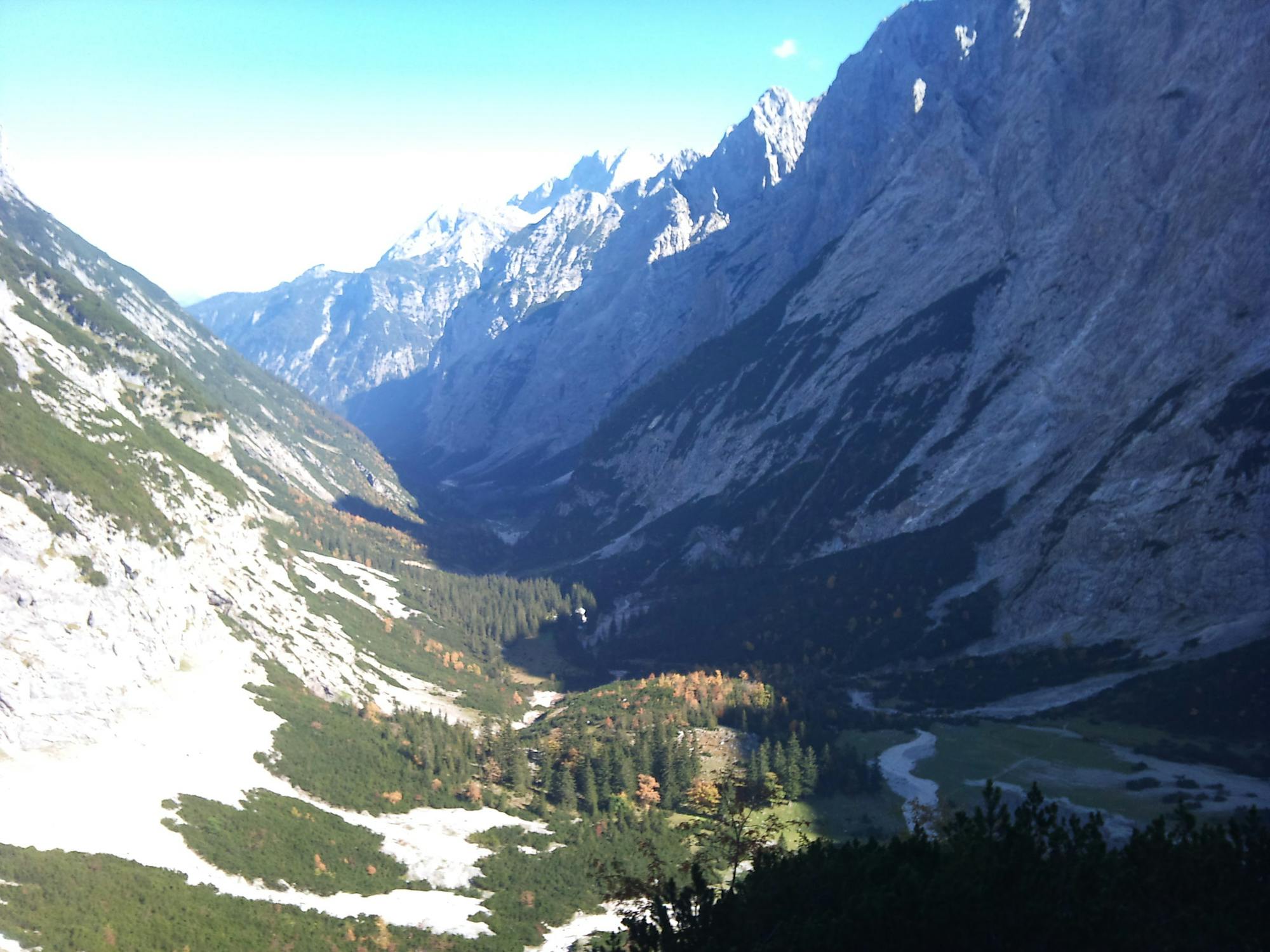
Day 2 of the 7 day Via Alpina hiking itinerary along the limestone cliffs of Rätikon.
Difficult Hiking

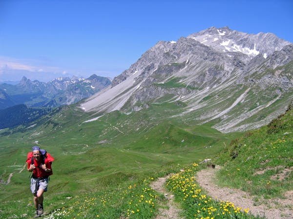
Trail Marathon from Switzerland across Liechtenstein into Austria. Mostly on single trails and on ridges with spectacular views.
Severe Trail Running

Trail Running Switzerland East to West
Difficult Trail Running
7 routes · Hiking