Via Alpina Green Route C2: Vaduz to Sargans
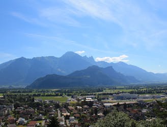
A 17.7km hike through woodlands, valleys and marshland crossing over from Lichtenstein to Switzerland.
Moderate Hiking
- Distance
- 18 km
- Ascent
- 486 m
- Descent
- 461 m
Go hiking in Triesen with curated guides of the best hikes across the region. With over 1 3D trail maps in FATMAP, you can easily discover and navigate the best trails in Triesen.
No matter what your next adventure has in store, you can find a guide on FATMAP to help you plan your next epic trip.
Get a top hiking trail recommendation in Triesen from one of our 1 guidebooks, or get inspired by the 1 local adventures uploaded by the FATMAP community. Start exploring now!
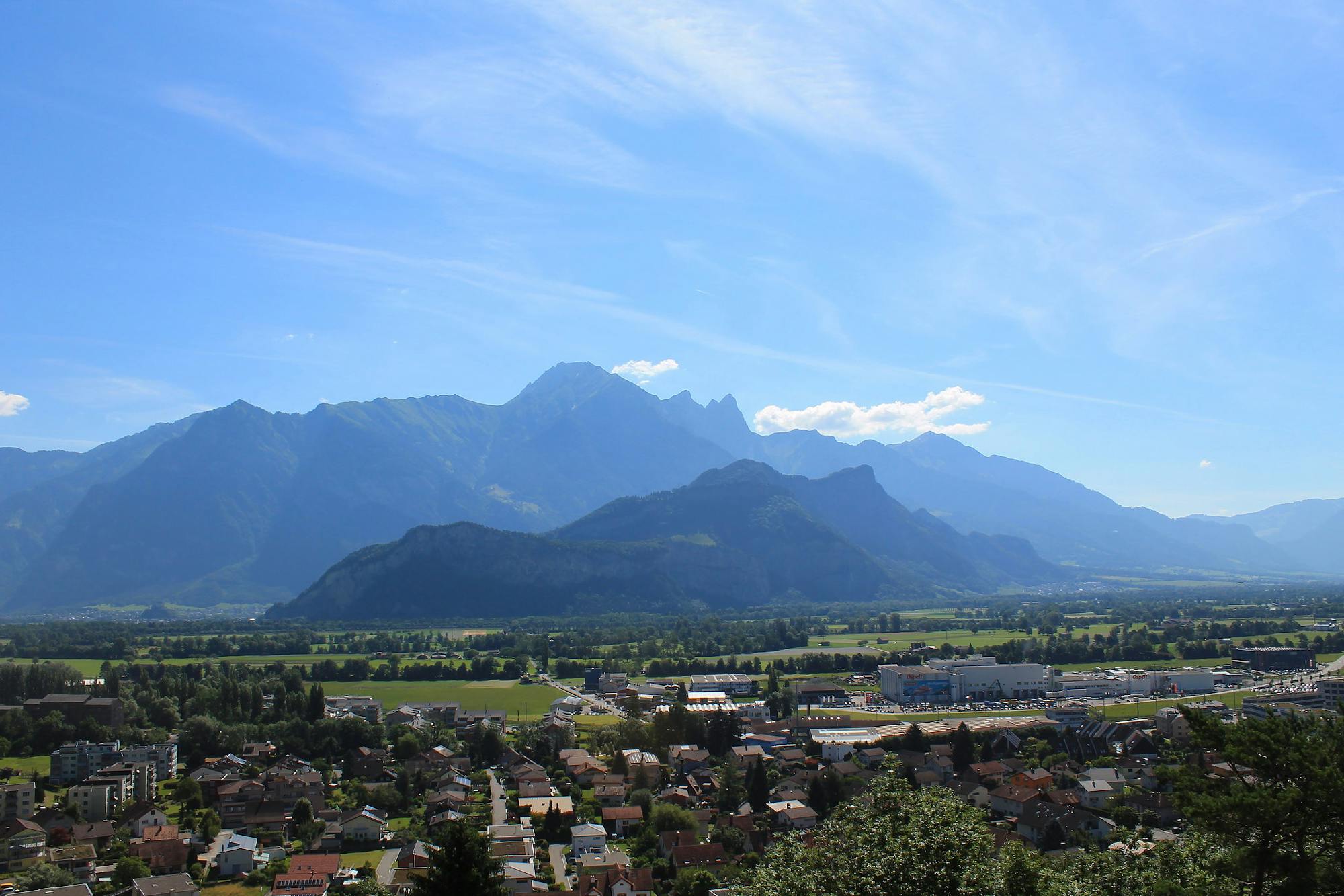
A 17.7km hike through woodlands, valleys and marshland crossing over from Lichtenstein to Switzerland.
Moderate Hiking

15 routes · Hiking