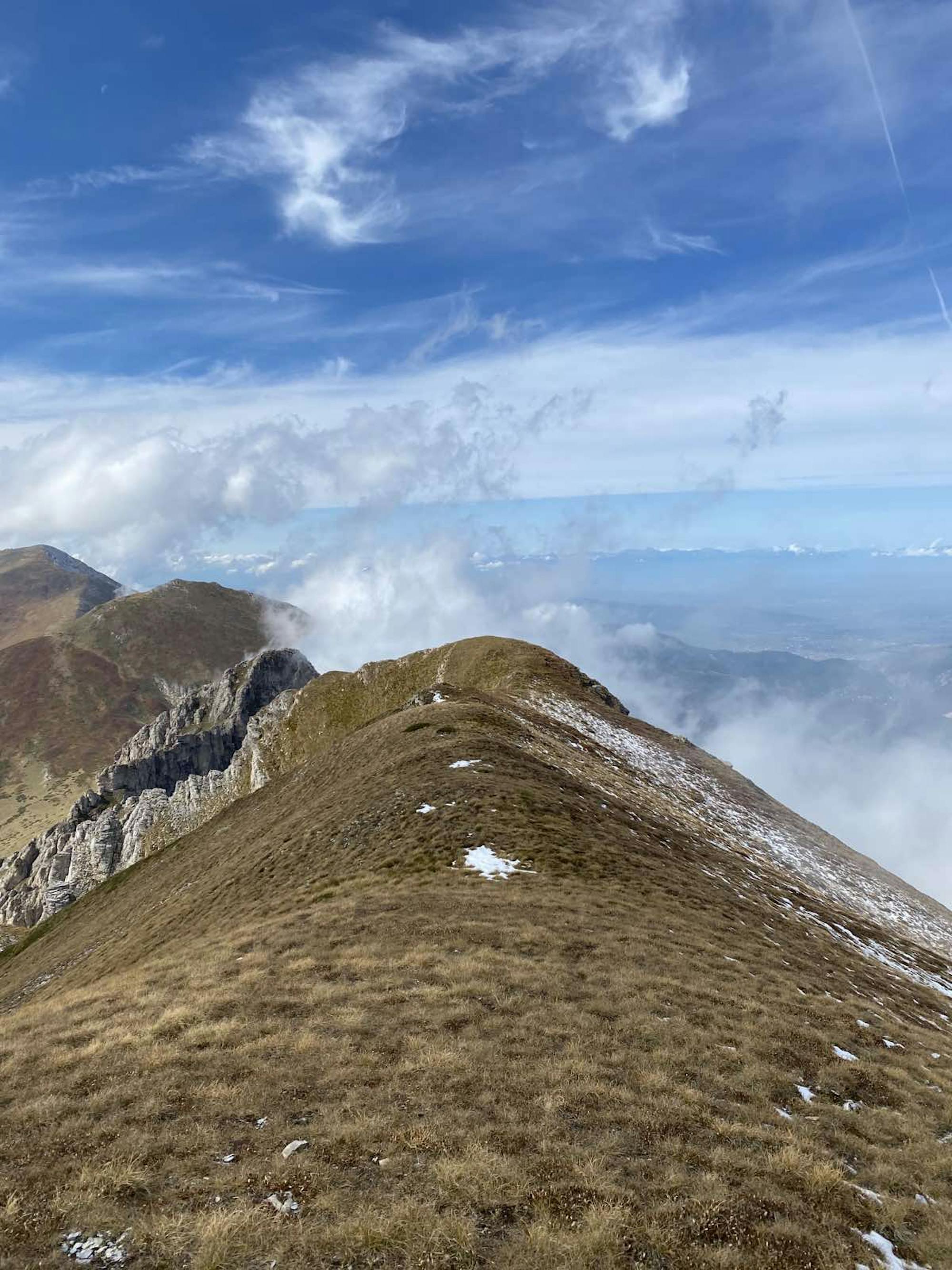
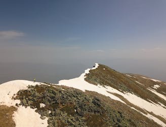
Kobilica

Kobilica from Brodec
Difficult Hiking
- Distance
- 9.6 km
- Ascent
- 1.6 km
- Descent
- 65 m
Go hiking in Tetovo with curated guides of the best hikes across the region. With over 12 3D trail maps in FATMAP, you can easily discover and navigate the best trails in Tetovo.
No matter what your next adventure has in store, you can find a guide on FATMAP to help you plan your next epic trip.
Get a top hiking trail recommendation in Tetovo from one of our 1 guidebooks, or get inspired by the 12 local adventures uploaded by the FATMAP community. Start exploring now!
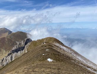
Kobilica from Brodec
Difficult Hiking
Hope you'll have good weather, to have a view.
Difficult Hiking
We changed the way back to Veshala Village
Difficult Hiking

DON'T FORGET TO SWIM
Moderate Hiking
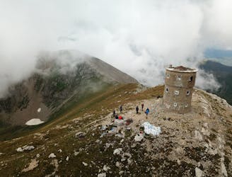
All around peak view, visibility of many city lights during a night hike
Moderate Hiking
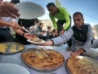
Hospitality, traditional cuisine and one of the most beautiful trails of Sharr mountain...3 in 1 just for your JOY!
Difficult Hiking
High level satisfaction hiking trail only for those who really enjoy hiking challenge!
Moderate Hiking