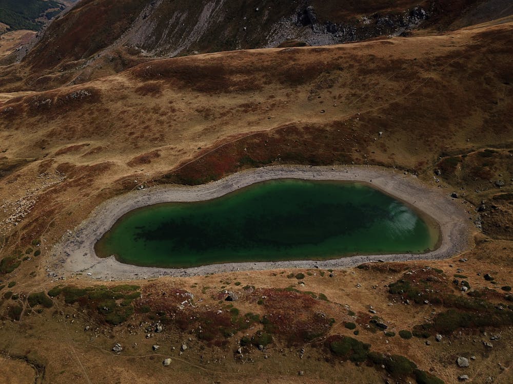
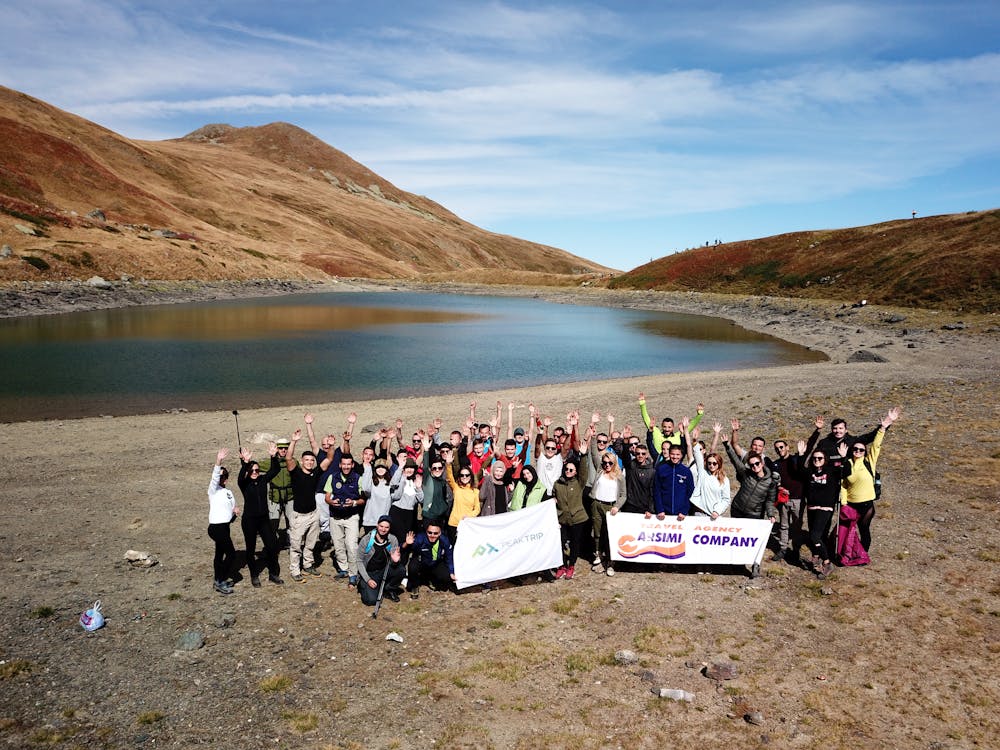
Karanikola glacial lake
Hospitality, traditional cuisine and one of the most beautiful trails of Sharr mountain...3 in 1 just for your JOY!
Hiking Difficult
- Distance
- 5.4 km
- Ascent
- 953 m
- Descent
- 9 m
- Duration
- 2-3 hrs
- Low Point
- 1.2 km
- High Point
- 2.2 km
- Gradient
- 14˚

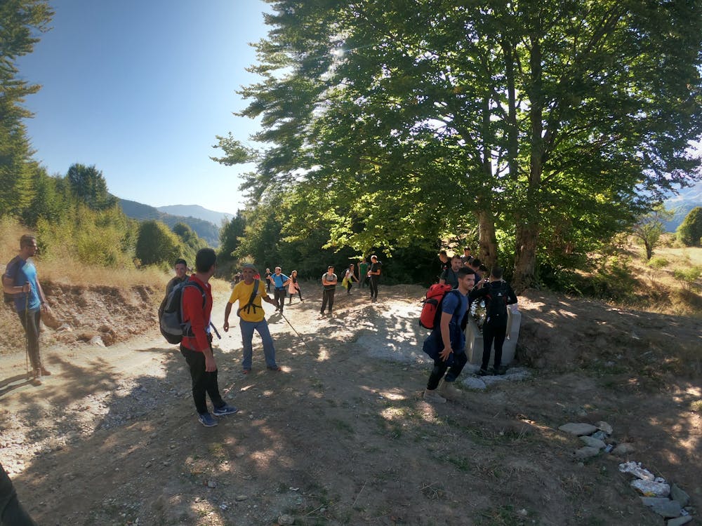
A well organised trip by @peaktrip this time took place in village of Veshalla starting point and traveling by van from Tetovo to the village which is a mountain village located on the road which links Tetovo- Kodra e Diellit (Popova Sapka) and it is only 15km away..
- •
- •
- •
- •
- •
Description
We started to hike on the early morning hours and needed 2h 30 min to complete the trail with a group of 60 people, we laughed and hiked all together till the last breath remained, we chilled a little bit with a beautiful lake view.
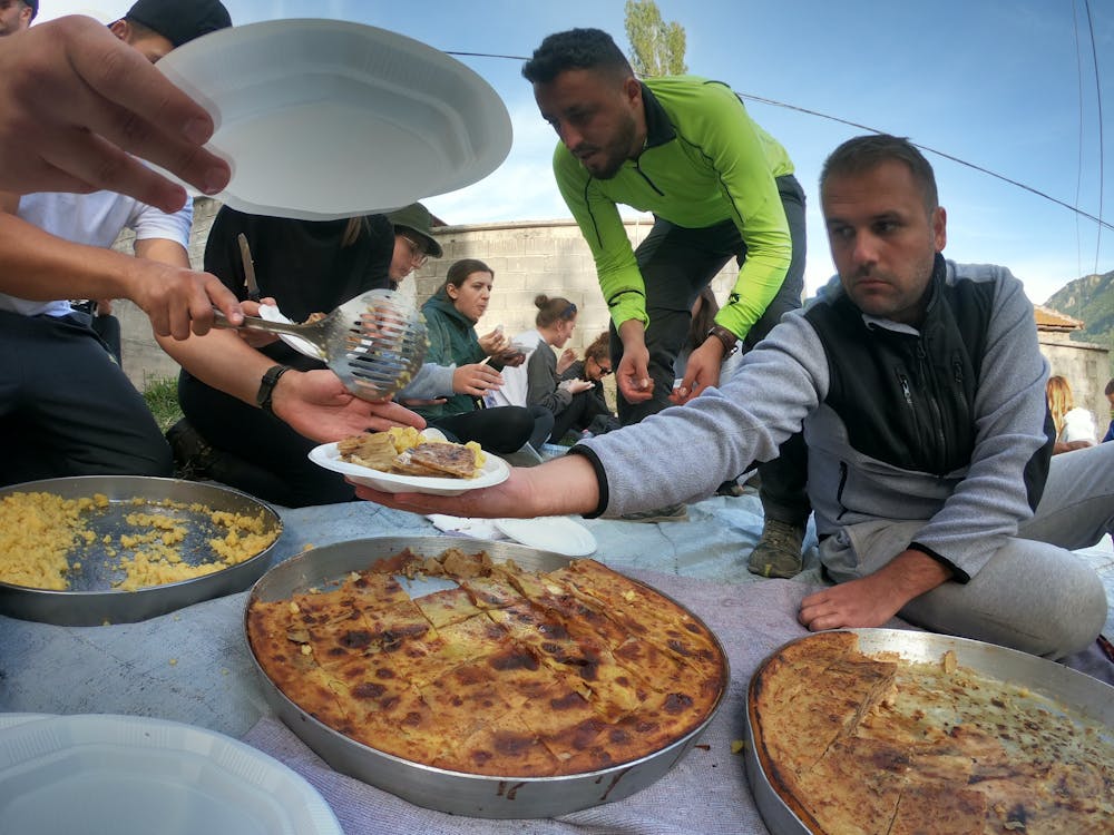
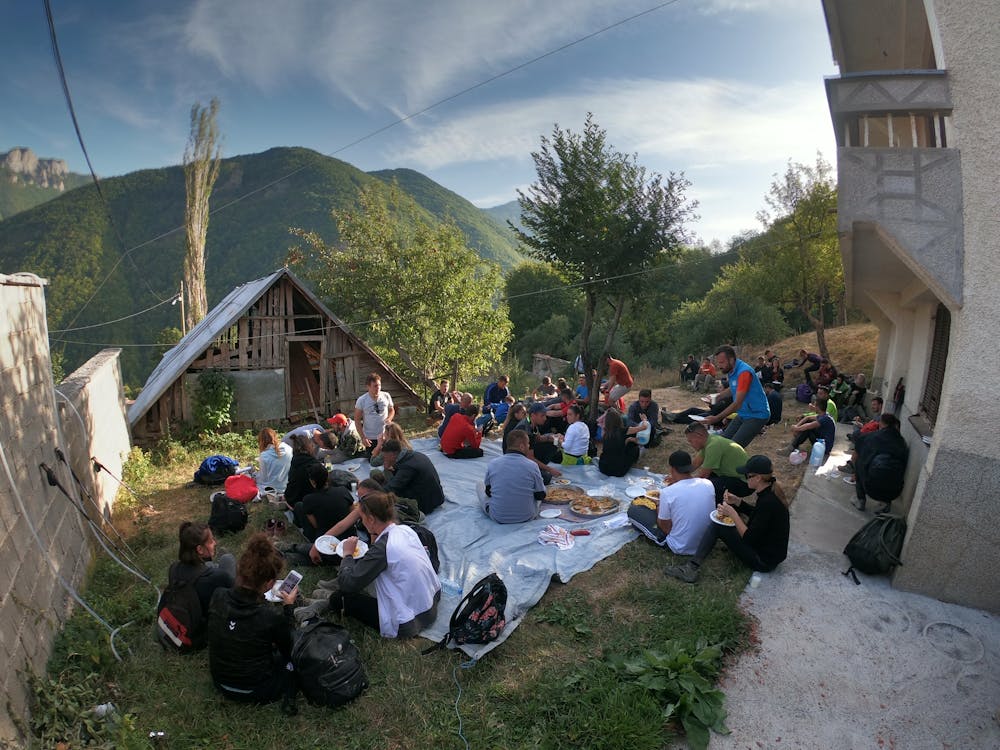
The way to the village was a little bit of longer because we already knew that traditional lunch was waiting for us, the last energy left was reserved for the delicious meal prepared from the locals.
Such a great day for everybody, repeat please :D
Follow us for more hiking trips. FB & Instagram @peaktrip
Difficulty
Difficult
Hiking trails where obstacles such as rocks or roots are prevalent. Some obstacles can require care to step over or around. At times, the trail can be worn and eroded. The grade of the trail is generally quite steep, and can often lead to strenuous hiking.
High Exposure

Some trail sections have exposed ledges or steep ascents/descents where falling could cause serious injury.
Remoteness
Little chance of being seen or helped in case of an accident.
Best time to visit
Features
- Alpine
- Historical
- Picturesque
- Summit Hike
- Wild flowers
- Water features
- Family friendly