Nevado de Toluca - Walkaround
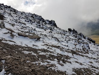
One way crossing of Toluca
Moderate Hiking
- Distance
- 13 km
- Ascent
- 1.1 km
- Descent
- 737 m

Go hiking in México with curated guides of the best hikes across the region. With over 2 3D trail maps in FATMAP, you can easily discover and navigate the best trails in México.
No matter what your next adventure has in store, you can find a guide on FATMAP to help you plan your next epic trip.
Get a top hiking trail recommendation in México, or get inspired by the 2 local adventures uploaded by the FATMAP community. Start exploring now!
One way crossing of Toluca
Moderate Hiking