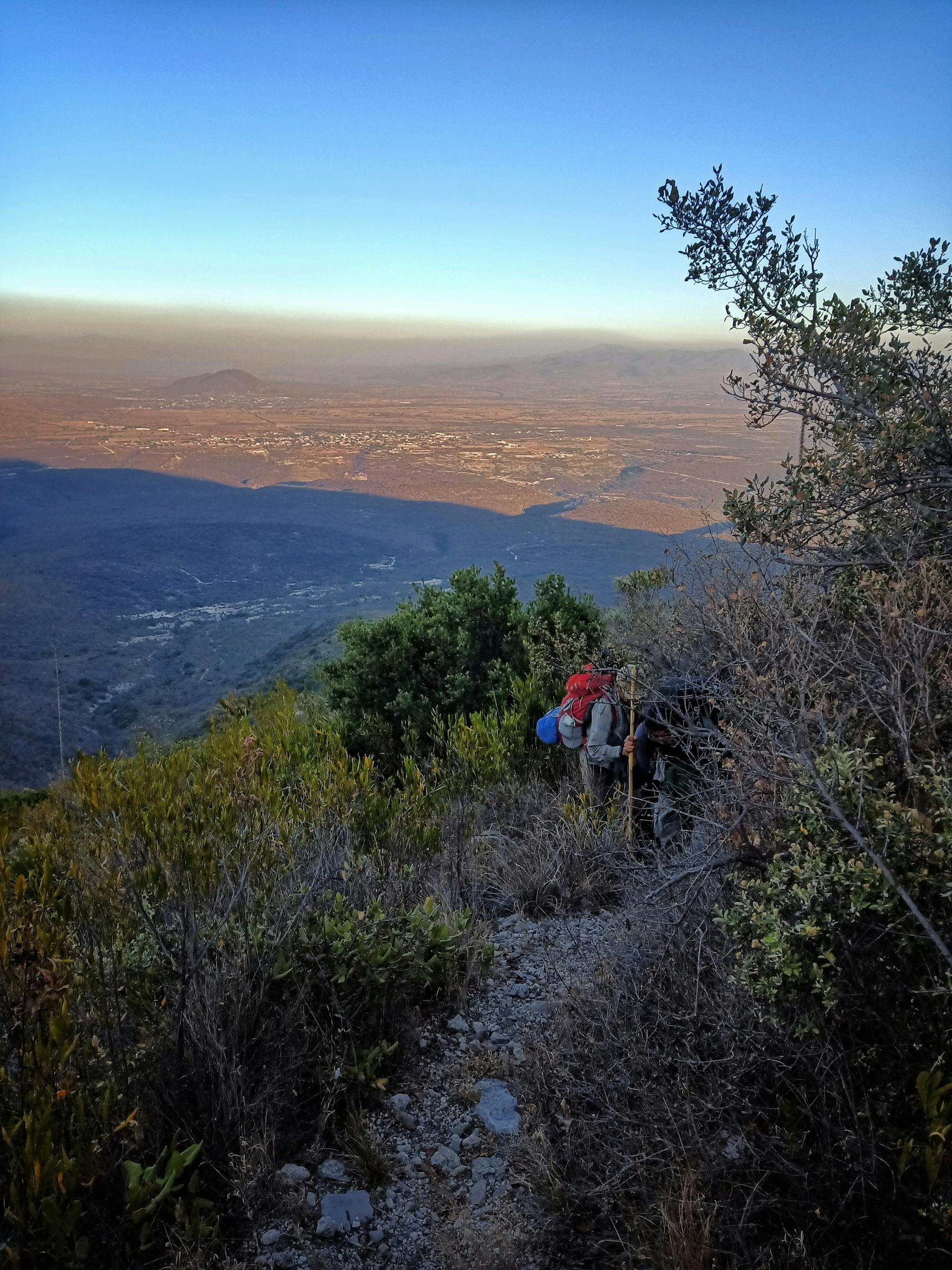
Paso de Cortes a Refugio de los Cien

Dificil Ruta apta para entrenar cerca de la ciudad de México
Difficult Hiking
- Distance
- 21 km
- Ascent
- 1.2 km
- Descent
- 1.2 km
Explore Puebla with curated guides of the best routes. With over 5 3D trail maps in FATMAP, you can easily discover and navigate the best trails in Puebla.
No matter what your next adventure has in store, you can find a guide on FATMAP to help you plan your next epic trip.
Get a top trail recommendation in Puebla, or get inspired by the 5 local adventures uploaded by the FATMAP community. Start exploring now!
Dificil Ruta apta para entrenar cerca de la ciudad de México
Difficult Hiking

Counter-clockwise loop at an altitude in between 4000-4600 meters.
Severe Hiking

Ultra Huachi 60k 2023
Difficult Trail Running
Ruta final de una serie lanzada por SAA en su temporada 2023
Difficult Hiking
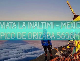
CLIMBING HIGHEST VOLCANO PEAK OF NORTH AMERICA
Severe Alpine Climbing