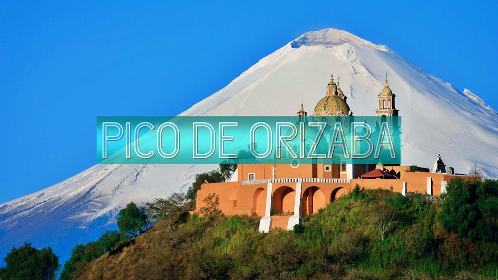
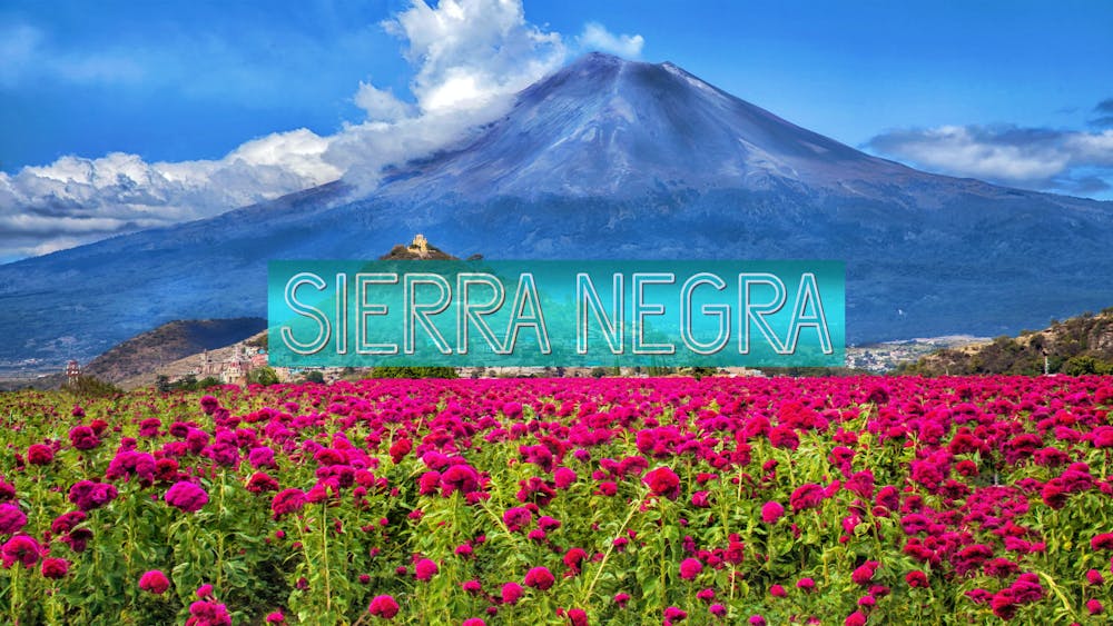
CLIMBING SIERRA NEGRA AND PICO DE ORIZABA
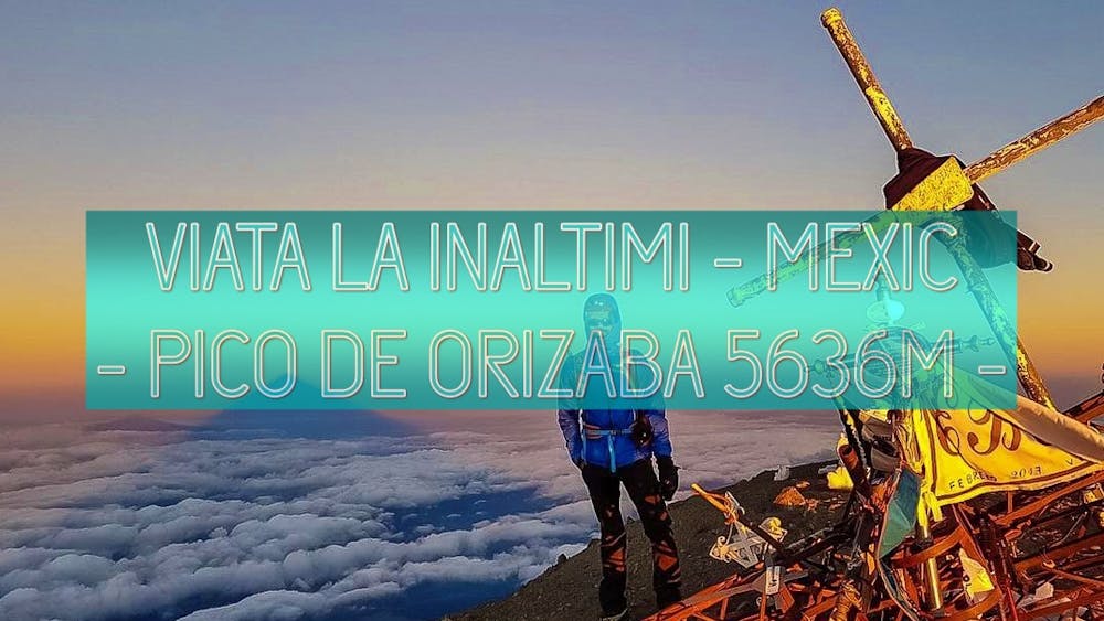
CLIMBING HIGHEST VOLCANO PEAK OF NORTH AMERICA
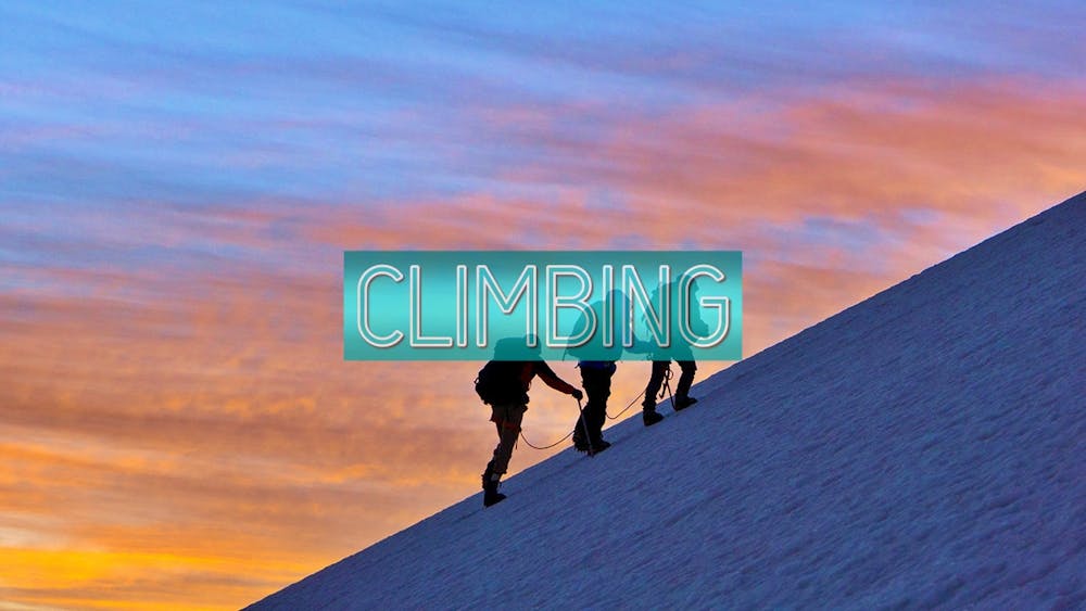
Alpine Climbing Severe
- Distance
- 92 km
- Ascent
- 4.1 km
- Descent
- 2.6 km
- Low Point
- 2.5 km
- High Point
- 5.6 km
- Gradient
- 23˚

This is a popular alpine climbing route which is generally considered to be severe. It's very remote, it features high exposure and is typically done between April and May. From a low point of 2.5 km to the maximum altitude of 5.6 km, the route covers 92 km, 4113 vertical metres of ascent and 2550 vertical metres of descent. You'll need ice axe, crampons, glacier kit, climbing shoes and wires and friends to complete it safely.
- •
- •
- •
- •
Description
CLIMBING HIGHEST VOLCANO PEAK OF NORTH AMERICA
Difficulty
Severe
Steep, sustained and serious terrain on rock/ice. Routes will be long, exposed and possibly committing. D, D+
High Exposure

Much of the route is difficult to protect and a fall could be disastrous at certain points.
Remoteness
Little chance of being seen or helped in case of an accident.
Best time to visit
Equipment required
- Ice axe
- Crampons
- Glacier kit
- Climbing Shoes
- Wires and Friends