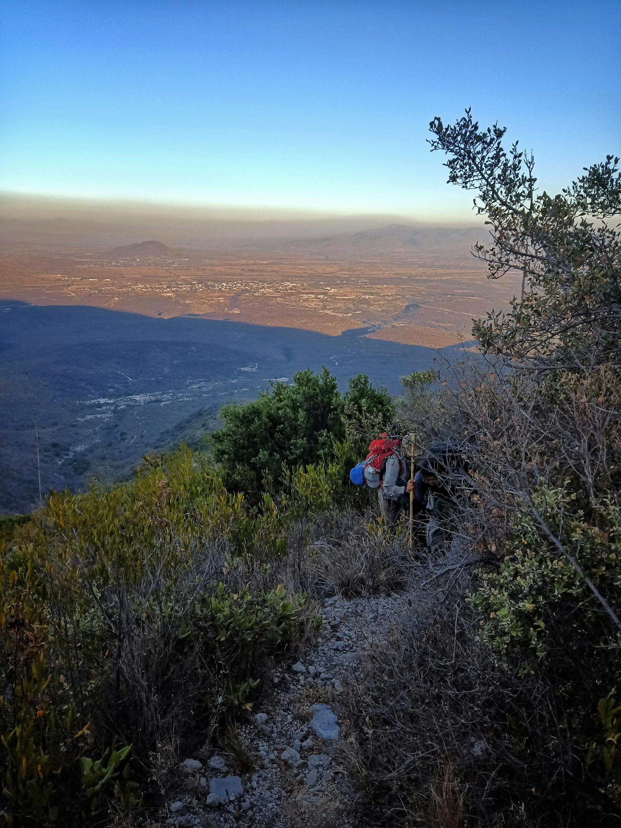
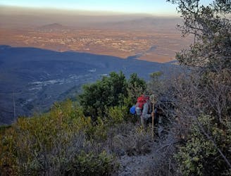
Paso de Cortes a Refugio de los Cien

Dificil Ruta apta para entrenar cerca de la ciudad de México
Difficult Hiking
- Distance
- 21 km
- Ascent
- 1.2 km
- Descent
- 1.2 km
Go hiking in Puebla with curated guides of the best hikes across the region. With over 5 3D trail maps in FATMAP, you can easily discover and navigate the best trails in Puebla.
No matter what your next adventure has in store, you can find a guide on FATMAP to help you plan your next epic trip.
Get a top hiking trail recommendation in Puebla, or get inspired by the 5 local adventures uploaded by the FATMAP community. Start exploring now!
Dificil Ruta apta para entrenar cerca de la ciudad de México
Difficult Hiking

Counter-clockwise loop at an altitude in between 4000-4600 meters.
Severe Hiking
Ruta final de una serie lanzada por SAA en su temporada 2023
Difficult Hiking