14 routes · Hiking · Alpine Climbing
Explore Dhawalagiri with curated guides of the best hiking trails, and more. With over 9 3D trail maps in FATMAP, you can easily discover and navigate the best trails in Dhawalagiri.
No matter what your next adventure has in store, you can find a guide on FATMAP to help you plan your next epic trip.
Get a top trail recommendation in Dhawalagiri from one of our 1 guidebooks, or get inspired by the 9 local adventures uploaded by the FATMAP community. Start exploring now!
14 routes · Hiking · Alpine Climbing
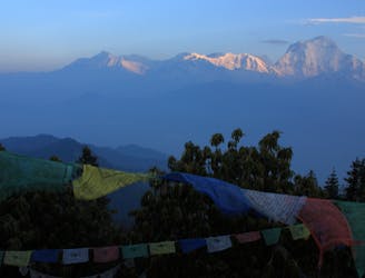
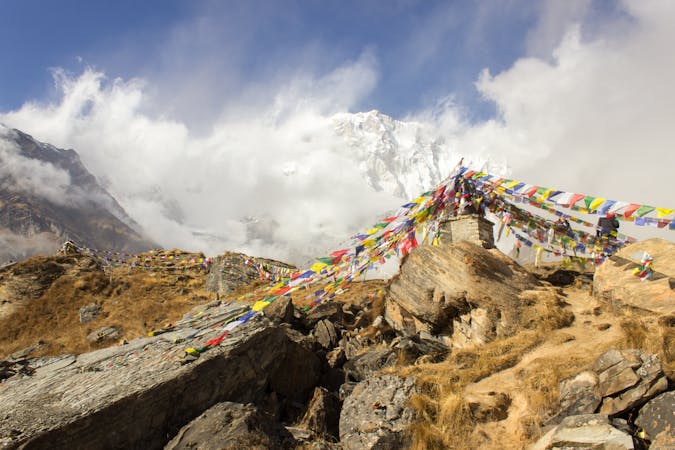
An early start pays off with some of the best mountain views in the World.
Moderate Hiking
A tougher day but with the reward of increasingly impressive high mountain views.
Moderate Hiking

Alternative trekking route from Muktinath to Kagbeni via Jhong. som via Lubra
Moderate Hiking

Alternative trekking route from Muktinath to Jomsom via Lubra village for enthusiast trekkers.
Moderate Hiking

Alternative trekking route from Muktinath to Jomsom via Lubra village for enthusiast trekkers.
Moderate Hiking

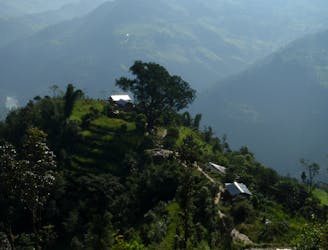
A trekking adventure in Nepal
Difficult Hiking
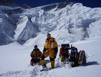
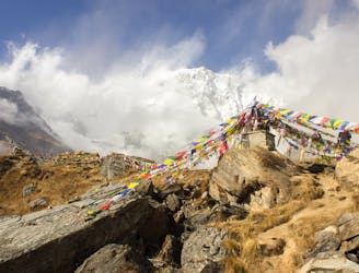
The most arduous, dangerous and beautiful part of the climb.
Severe Alpine Climbing
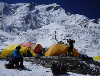
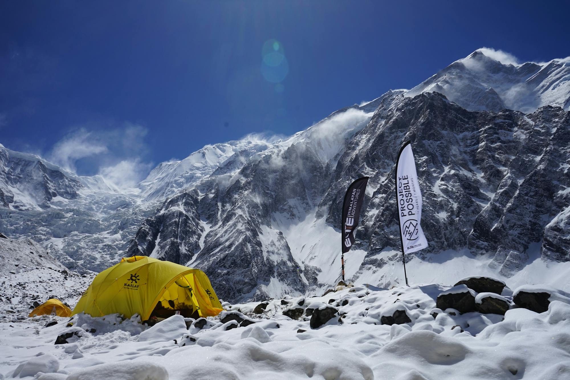
Glacier Crossing
Moderate Alpine Climbing
8 routes · Hiking