Dhaulagiri Circuit
South Annapurna
A trekking adventure in Nepal
Hiking Difficult
- Distance
- 102 km
- Ascent
- 8.7 km
- Descent
- 7.1 km
- Duration
- 1 day +
- Low Point
- 1.1 km
- High Point
- 5.4 km
- Gradient
- 34˚
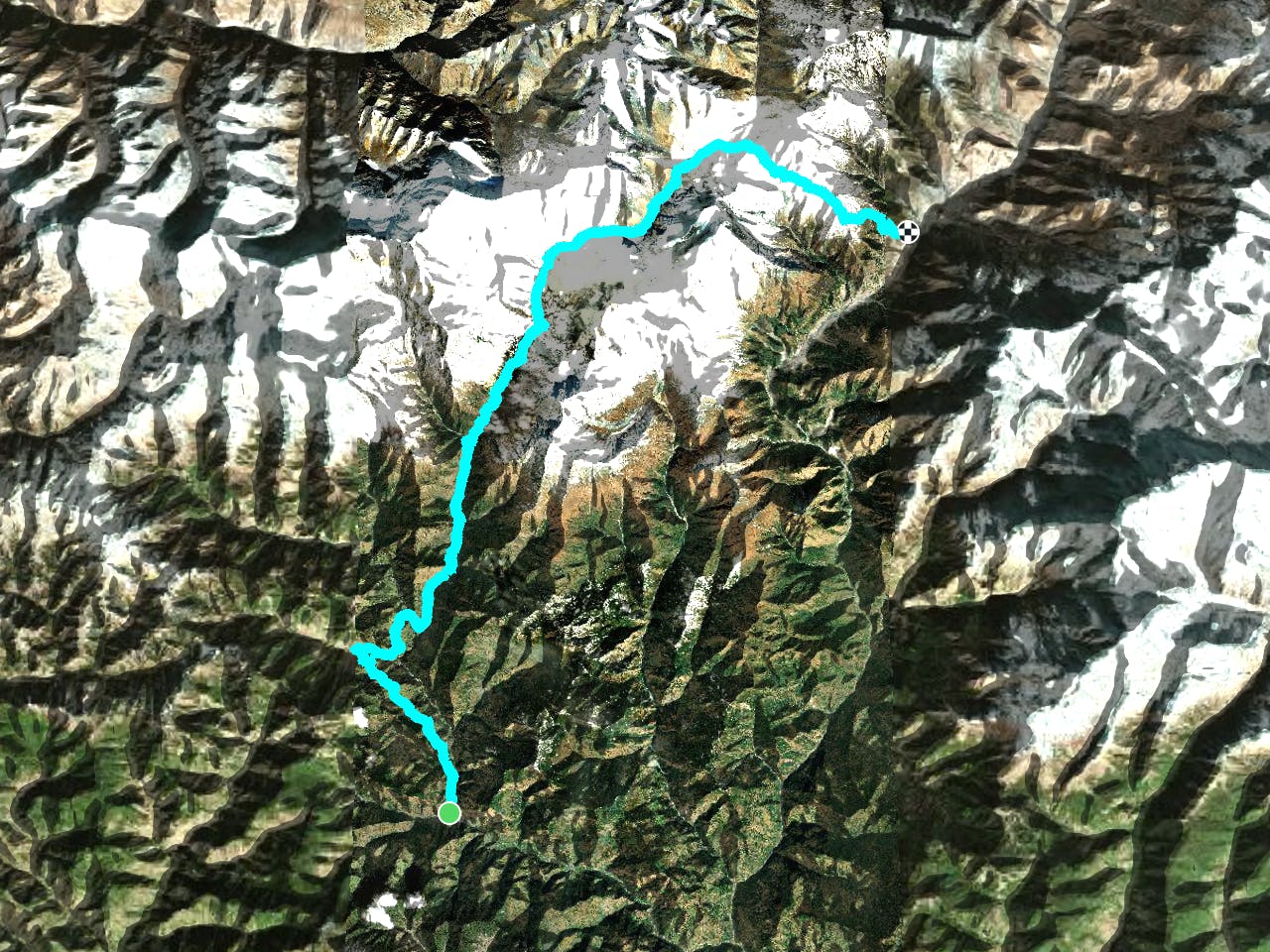
This is a popular hiking route which is generally considered to be difficult. It's extremely remote, it features medium exposure and is typically done in March, April, October, November and December. From a low point of 1.1 km to the maximum altitude of 5.4 km, the route covers 102 km, 8730 vertical metres of ascent and 7126 vertical metres of descent.
Description
One great trekking route that is a bit off the beaten path
Difficulty
Difficult
Hiking trails where obstacles such as rocks or roots are prevalent. Some obstacles can require care to step over or around. At times, the trail can be worn and eroded. The grade of the trail is generally quite steep, and can often lead to strenuous hiking.
Medium Exposure

The trail contains some obstacles such as outcroppings and rock which could cause injury.
Remoteness

In the high mountains or remote conditions, all individuals must be completely autonomous in every situation.
Best time to visit
Features
- Alpine