Flanagan Pass Trail

Szlak górski w okolicach Lake Ohau i Twizel.
Moderate Hiking
- Distance
- 20 km
- Ascent
- 816 m
- Descent
- 809 m
Explore Canterbury with curated guides of the best hiking trails, ski routes, and more. With over 85 3D trail maps in FATMAP, you can easily discover and navigate the best trails in Canterbury.
No matter what your next adventure has in store, you can find a guide on FATMAP to help you plan your next epic trip.
Get a top trail recommendation in Canterbury from one of our 10 guidebooks, or get inspired by the 85 local adventures uploaded by the FATMAP community. Start exploring now!
Szlak górski w okolicach Lake Ohau i Twizel.
Moderate Hiking
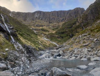
Prawdopodobnie najlepszy jednodniowy szlak w Ahuriri Valley. Cudne doliny, wodospady i potok płynący kanionem.
Moderate Hiking
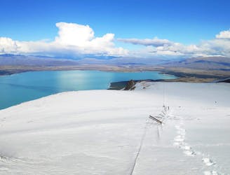
Nieprzetarta trasa górska z widokami na Lake Pukaki
Difficult Hiking
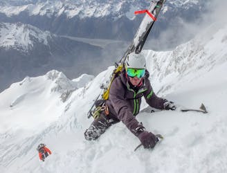
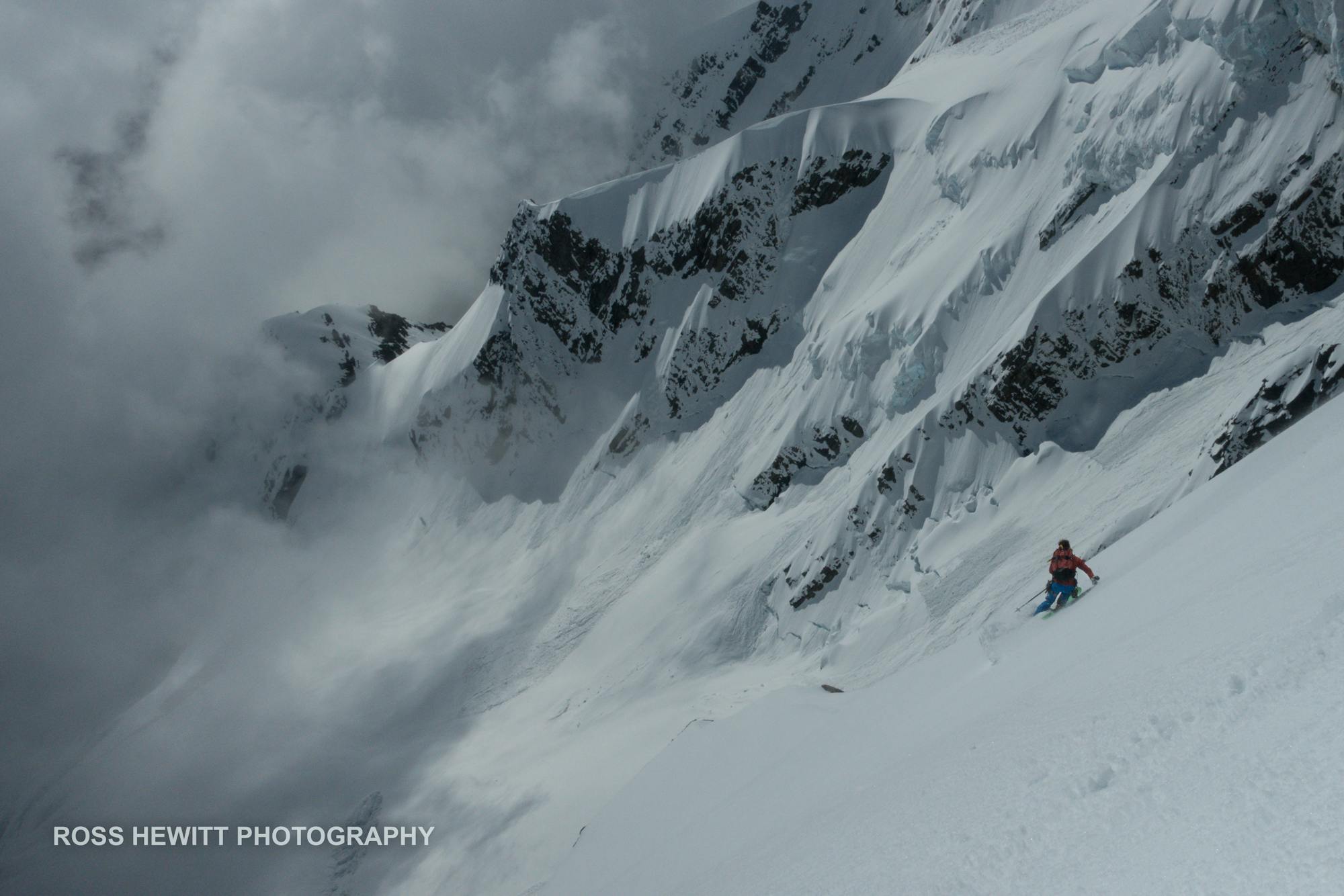
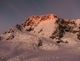
From Plateau hut to the summit of Aoraki/Mt Cook, unbroken ski decent down the East Face and back to Plateau Hut, sleep then ski down the Boys Glacier and walk out the Tasman Glacier to the Blue Lakes carpark
Extreme Ski Touring
Riding the East Face of Mt. Cook with Sam Smoothy, Nadine Wallner & Fraser McDougall
Extreme Ski Touring