Canyon Creek Track
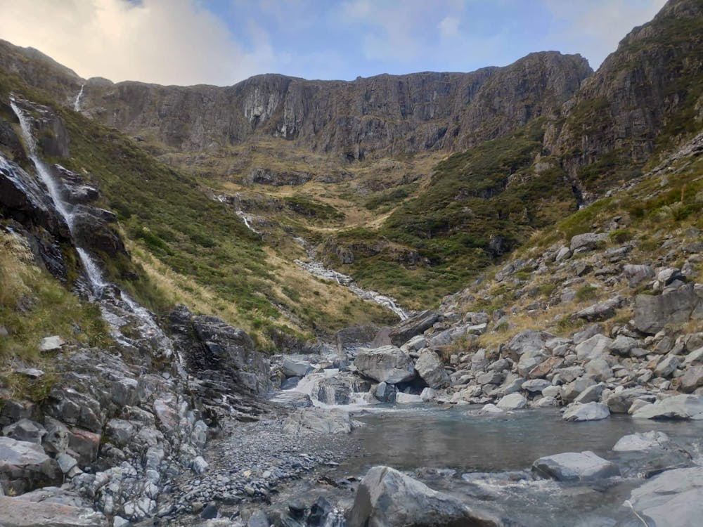
Prawdopodobnie najlepszy jednodniowy szlak w Ahuriri Valley. Cudne doliny, wodospady i potok płynący kanionem.
Hiking Moderate
- Distance
- 5.8 km
- Ascent
- 287 m
- Descent
- 80 m
- Duration
- 1-2 hrs
- Low Point
- 766 m
- High Point
- 973 m
- Gradient
- 10˚

This is a popular hiking route which is generally considered to be moderate. It's remote, it features medium exposure and is typically done in January, March, May, October, November and December. From a low point of 766 m to the maximum altitude of 973 m, the route covers 5.8 km, 287 vertical metres of ascent and 80 vertical metres of descent.

- •
- •
Description
Prawdopodobnie najlepszy jednodniowy szlak w Ahuriri Valley. Cudne doliny, wodospady i potok płynący kanionem. Ukryty przed większością turystów szlak, który mógłby konkurować z wieloma pieszymi wycieczkami opisanymi w Lonely Planet.
Więcej na bezsygnalu.pl
Difficulty
Moderate
Hiking along trails with some uneven terrain and small hills. Small rocks and roots may be present.
Medium Exposure

The trail contains some obstacles such as outcroppings and rock which could cause injury.
Remoteness
Away from help but easily accessed.
Best time to visit
Features
- Wildlife
- Picturesque
- Dog friendly
- Wild flowers
- Water features