Lake Waikaremoana Track

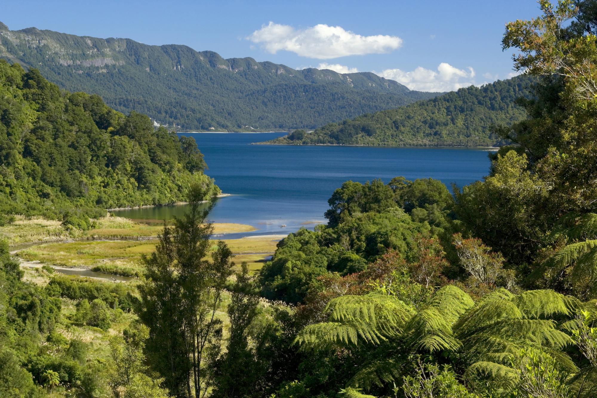
From dense rainforest to sheer cliff faces, the Lake Waikaremoana is a stunning, and remote, four day hike in the heart of the North Island.
Difficult Hiking
- Distance
- 48 km
- Ascent
- 2.4 km
- Descent
- 2.3 km

Explore Hawke's Bay with curated guides of the best routes. With over 7 3D trail maps in FATMAP, you can easily discover and navigate the best trails in Hawke's Bay.
No matter what your next adventure has in store, you can find a guide on FATMAP to help you plan your next epic trip.
Get a top trail recommendation in Hawke's Bay from one of our 1 guidebooks, or get inspired by the 7 local adventures uploaded by the FATMAP community. Start exploring now!


From dense rainforest to sheer cliff faces, the Lake Waikaremoana is a stunning, and remote, four day hike in the heart of the North Island.
Difficult Hiking

A chute off the Te Mata Hike
Difficult Freeride Skiing

A tight chute of the Te Mata Hike
Severe Freeride Skiing

A line of the summit
Difficult Freeride Skiing

A potential line of the Te Mata hike
Difficult Freeride Skiing

A 10-15day thru-hike linking the northern Kaimanawa's, Kaweka's, and Ruahine's.
Difficult Hiking

Backcountry MTB trip through the high points of the Nth Kaweka
Severe Mountain Biking

9 routes · Hiking