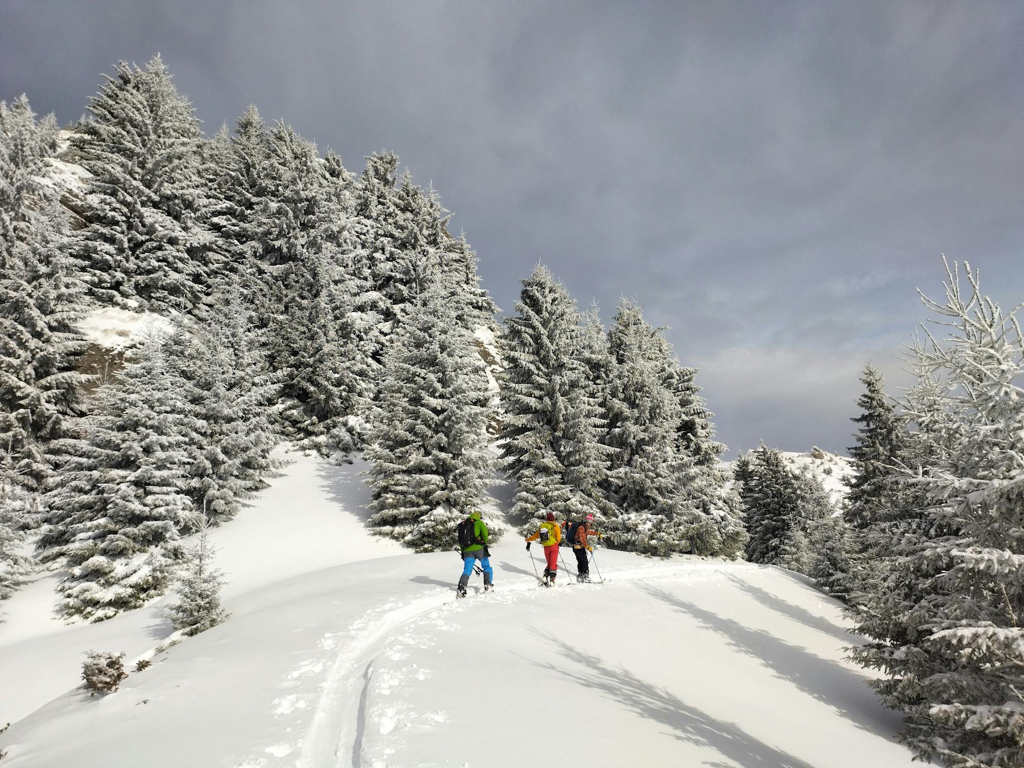
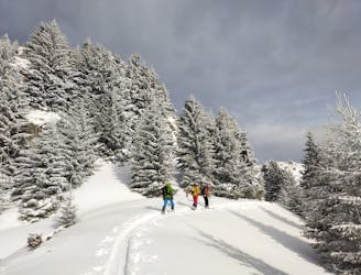
Cabana Curmatura - Vf Ascutit - Timbalul Mare - Timbalul Mic

Tura Cabana Curmatura - Vf Ascutit - Timbalul Mare - Timbalul Mic
Difficult Hiking
- Distance
- 4.2 km
- Ascent
- 772 m
- Descent
- 47 m
Explore Brasov with curated guides of the best routes. With over 10 3D trail maps in FATMAP, you can easily discover and navigate the best trails in Brasov.
No matter what your next adventure has in store, you can find a guide on FATMAP to help you plan your next epic trip.
Get a top trail recommendation in Brasov, or get inspired by the 10 local adventures uploaded by the FATMAP community. Start exploring now!
Tura Cabana Curmatura - Vf Ascutit - Timbalul Mare - Timbalul Mic
Difficult Hiking

14km trail near Moieciu de Sus
Moderate Trail Running

Traseu Malaiesti - Hornuri
Moderate Alpine Climbing

Crossing the Făgăraș Ridge, from west to east, is one of the most difficult and challenging multi-day hikes in Romania, with several technical sections.
Severe Hiking

Un traseu clasic de trekking din Valea Sambetei - Vf Moldoveanu
Moderate Hiking
Ski de tură pe pantele sudice ale muntelui Bratocea (Ciucaș). Cu plecare din Pasul Bratocea. — Ski touring on the southern slopes of Mt. Bratocea. Start from Bratocea Pass.
Moderate Ski Touring

Coborare fata S La OM - Piatra Craiului
Moderate Freeride Skiing

Casa Folea-Saua Joaca-La Om-Ascutit-cab.Curmatura-PoianaMartoiu-saua Joaca-casa Folea
Difficult Trail Running