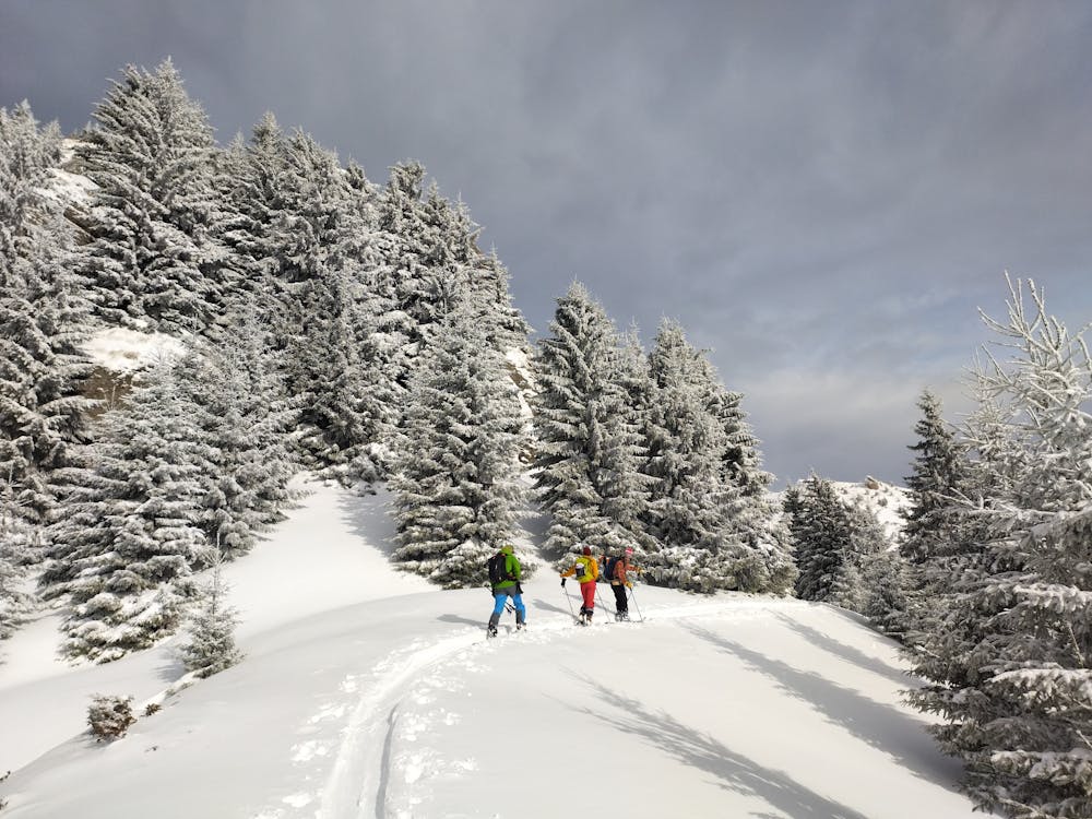
Bratocea - ski - forest - pow
Ski de tură pe pantele sudice ale muntelui Bratocea (Ciucaș). Cu plecare din Pasul Bratocea. — Ski touring on the southern slopes of Mt. Bratocea. Start from Bratocea Pass.
Ski Touring Moderate
- Distance
- 9.9 km
- Ascent
- 900 m
- Descent
- 910 m
- Duration
- 4-5 hrs
- Low Point
- 1.2 km
- High Point
- 1.7 km
- Gradient
- 30˚

This is a popular ski touring route which is generally considered to be moderate. It's remote, it features low exposure (e1) and is typically done between December and January. From a low point of 1.2 km to the maximum altitude of 1.7 km, the route covers 9.9 km, 900 vertical metres of ascent and 910 vertical metres of descent. You'll need skins to complete it safely.
Description
Start from Bratocea Pass.
Difficulty
Moderate
Slopes become slightly steeper at around 25-30 degrees.
Low Exposure (E1)

Exposure is limited to that of the slope itself. Getting hurt is still likely if the slope is steep and/or the snow is hard.
Remoteness

Away from help but easily accessed.
Best time to visit
Features
- Alpine
- Tree Skiing
Equipment required
- Skins