Mount Kosciuszko summit walk from Charlotte Pass
Thredbo and Kosciuszko
A hike to the highest point in Australia, the Mount Kosciuszko summit walk offers beautiful views and a good challenge for hikers of all abilities.
Hiking Moderate
- Distance
- 19 km
- Ascent
- 426 m
- Descent
- 427 m
- Duration
- 4-5 hrs
- Low Point
- 1.8 km
- High Point
- 2.2 km
- Gradient
- 4˚

The highest mountain in Australia, Mount Kosciuszko is located in the Snowy Mountains of New South Wales. The mountain stands at a height of 2,228 meters / 7,310 feet above sea level and is a popular destination for hikers in the summer and backcountry skiers in the winter.
Description
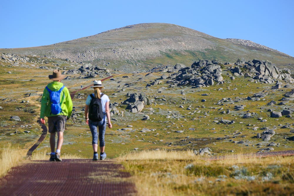
There are several routes to the summit of Mount Kosciuszko, ranging in difficulty and length. Arguably the most popular route is the Kosciuszko Summit Walk, an 18.6 km / 11.5 mile out-and-back hike that begins at Charlottes Pass, not far from Perisher Valley..
The hike follows the well-marked Mt Kosciuszko Summit Walk trail through alpine meadows and forests, with some steep and rocky sections. Along the way, hikers will encounter a variety of plants and wildlife, including native animals such as wallabies and echidnas. The hike takes most people 4-5 hours to complete, pace dependent.
At the summit, hikers are rewarded with panoramic views of the surrounding landscape, including the Main Range, the Australian Alps, and the Snowy River. This trail goes back the way it came, but there are alternative routes back to Charlotte Pass - just ensure you download a map - there is a network of paths crossing through the Snowy Mountains.
Difficulty
Moderate
Hiking along trails with some uneven terrain and small hills. Small rocks and roots may be present.
Remoteness

Away from help but easily accessed.
Best time to visit
Features
- Alpine
- Wildlife
- Picturesque
- Summit Hike
- Wild flowers