17 m away
Mount Warning

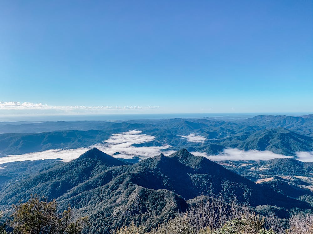
Mount Warning offers a challenging, but the trail to the top is well worth the effort for the views of the surrounding countryside.
Moderate Hiking
- Distance
- 8.5 km
- Ascent
- 657 m
- Descent
- 657 m
Summit hike
Hiking Moderate

This is a popular hiking route which is generally considered to be moderate. It's remote, it features medium exposure and is typically done in an unknown time of year. From a low point of 443 m to the maximum altitude of 1.1 km, the route covers 8.2 km, 663 vertical metres of ascent and 657 vertical metres of descent.
The first part of the track is a steady walk with many switchbacks heading up. A few great lookout points on the way up. The last 400m is steep and requires scrambling to the summit.
Moderate
Hiking along trails with some uneven terrain and small hills. Small rocks and roots may be present.

The trail contains some obstacles such as outcroppings and rock which could cause injury.
Away from help but easily accessed.
17 m away
Mount Warning offers a challenging, but the trail to the top is well worth the effort for the views of the surrounding countryside.
Moderate Hiking