34 routes · Freeride Skiing · Ski Touring
One of the most commonly used tracks in the area for backcountry skiing and boarding
Ski Touring Moderate

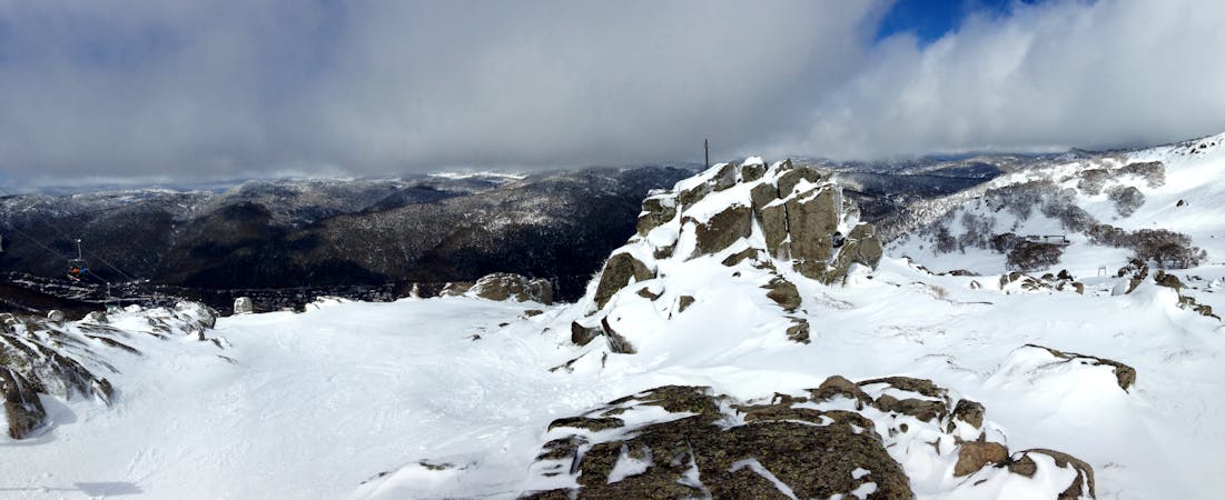
The hike/skin from Dead Horse Gap to the Ramshead is really well used, whether people are coming down or up. The easiest and most common route is to follow Bogong Creek all the way to the top, then head through some rocky terrain to the west before reaching the peak to the west which is the Ramshead. An alternative is that about two kilometres from the car park up river, the river bends to the right sharply. From here, head up through the vegetated gully to the left and follow it up and around the Southerly Ramshead and north along the range to the Ramshead proper. This walk/skin will take 4 hours or more to complete.
Moderate
Slopes become slightly steeper at around 25-30 degrees.
34 routes · Freeride Skiing · Ski Touring