2 km away
Cradle Mountain Summit
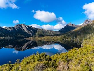
From lake to summit, it's easy to understand why the hike to the top of Tasmania's Cradle Mountain draws visitors from around the world.
Moderate Hiking
- Distance
- 13 km
- Ascent
- 808 m
- Descent
- 808 m
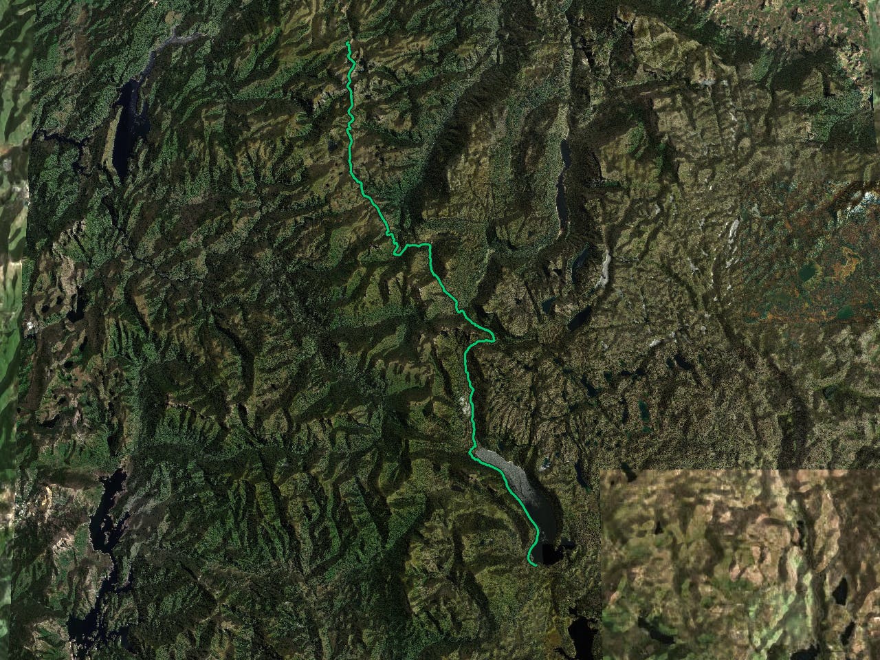
An incredible and varied journey through Cradle Mountain-Lake St Clair National Park, part of Tasmania's Wilderness World Heritage Area.
Hiking Difficult

A justly popular linear hike of 65 kilometres (40 miles) from Cradle Mountain to Lake St Clair, this trip is even better if you extend it to take in Lake St Clair (Australia's deepest lake) itself, thereby increasing the length to 82 kilometres (51 miles). Further detours include Cradle Mountain and Mount Ossa, the tallest mountain in Tasmania at 1617 metres. If you have the time, do all of the extensions and variations - the scenery will always reward your efforts.
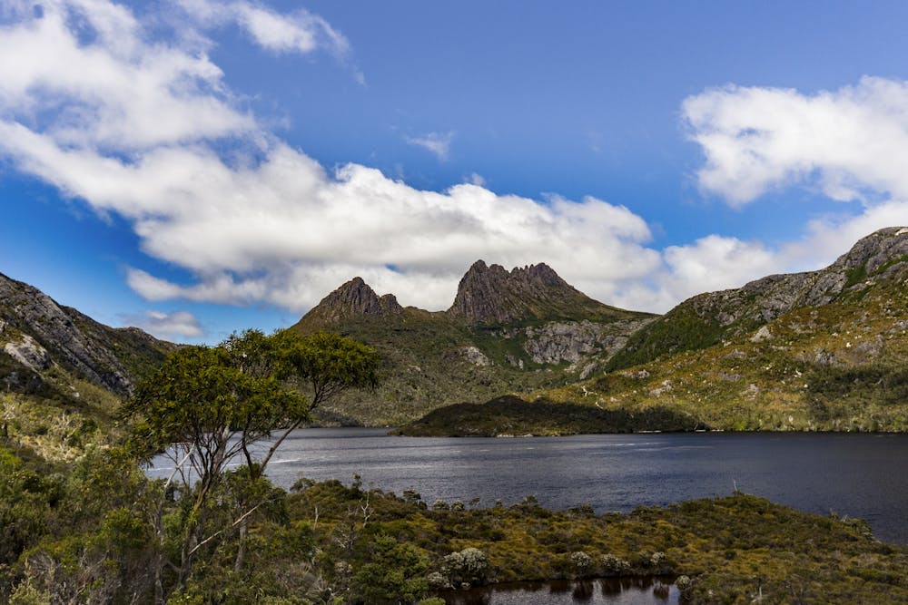
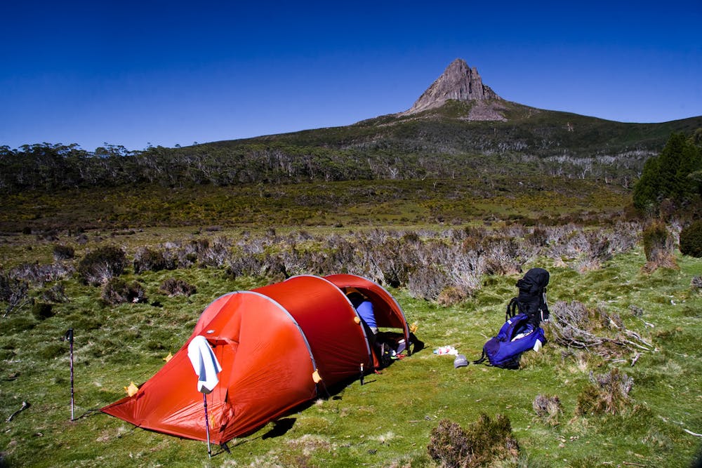
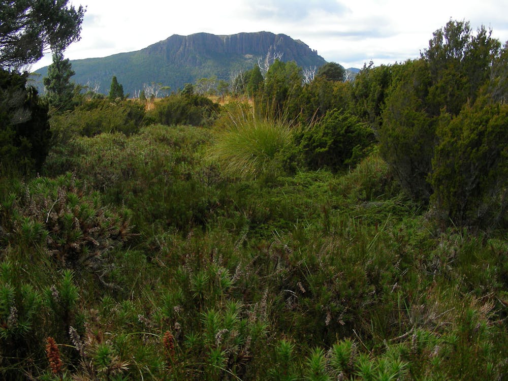
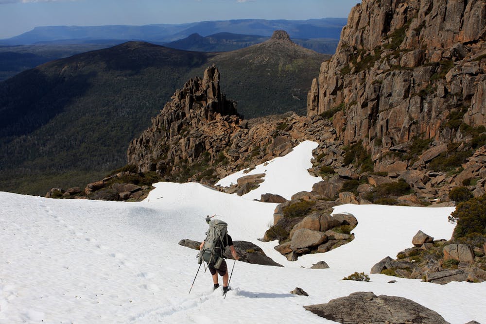
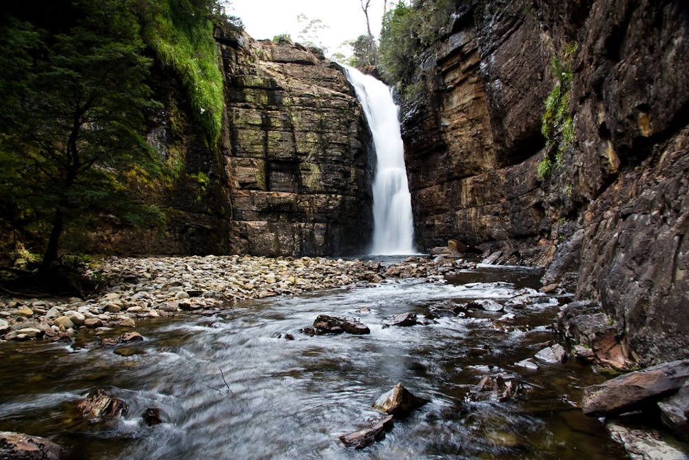
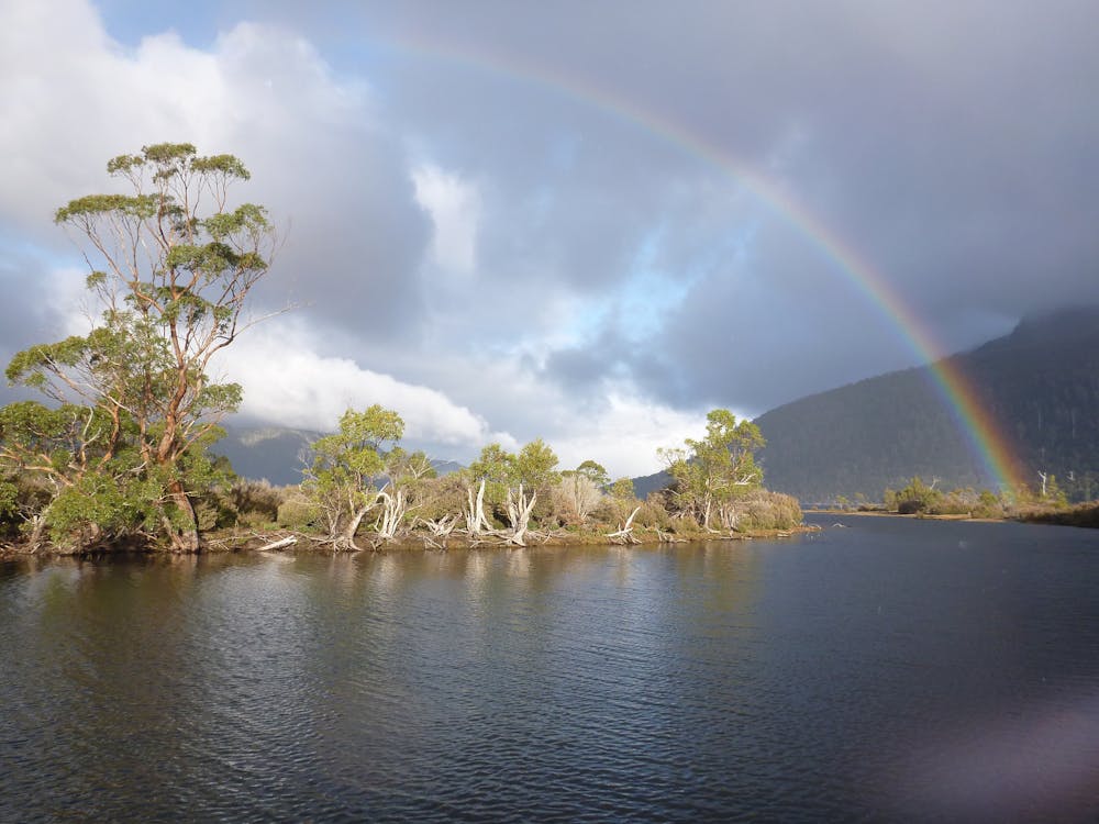
Generally the track is good all the way, with long sections of boardwalk and good signposting, but the sections of the walk without boardwalk can be quite muddy so don't wear your best clothes! There is a good network of huts on the track but there is no reservation system so it is compulsory to carry a tent so that you can camp next to a hut if it is full, which they often are. Even if you do get into a hut there are no mattresses or bedding and cooking facilities - just some flat, dry space and tables to cook at, plus composting toilets and a fresh water supply. Between the huts the hike takes you through some beautiful forests, valleys and sections of moorland, all under a huge (hopefully blue) sky. The ascent of Mount Ossa requires some scrambling but otherwise the hiking is not technical or difficult.
Most hikers finish their walk at the end of Lake St Clair and take a ferry back to civilisation from there but in return for one extra day of effort, you can walk the length of the lake all the way back to the roadhead.
Difficult
Hiking trails where obstacles such as rocks or roots are prevalent. Some obstacles can require care to step over or around. At times, the trail can be worn and eroded. The grade of the trail is generally quite steep, and can often lead to strenuous hiking.
2 km away

From lake to summit, it's easy to understand why the hike to the top of Tasmania's Cradle Mountain draws visitors from around the world.
Moderate Hiking
6 routes · Hiking