Schneeberg Traverse Royale
Schneidergraben, Nandlgrat and Mieseltal
Hiking Difficult
- Distance
- 16 km
- Ascent
- 1.5 km
- Descent
- 1.5 km
- Duration
- 5-6 hrs
- Low Point
- 720 m
- High Point
- 2.1 km
- Gradient
- 27˚

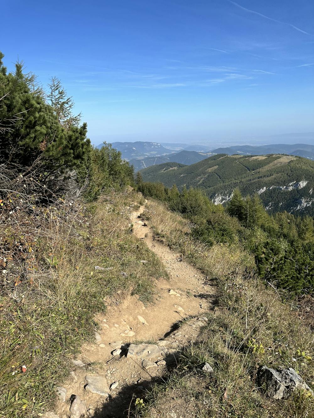
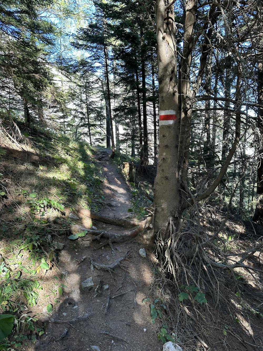
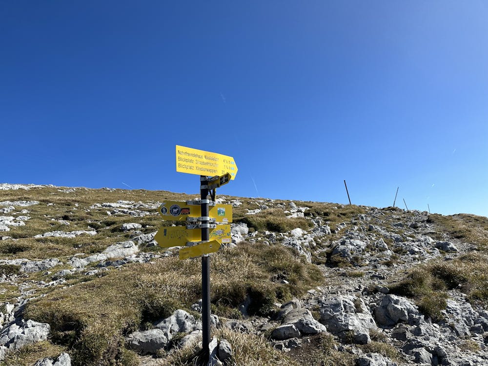
This is a popular hiking route which is generally considered to be difficult. It's remote, it features medium exposure and is typically done all year round. From a low point of 720 m to the maximum altitude of 2.1 km, the route covers 16 km, 1528 vertical metres of ascent and 1528 vertical metres of descent.
- •
- •
- •
- •
- •
- •
- •
- •
- •
- •
- •
- •
- •
- •
- •
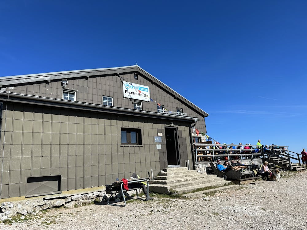
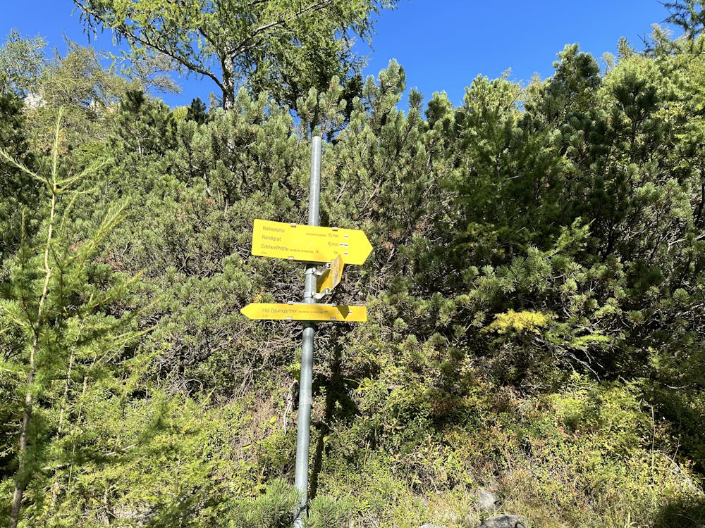
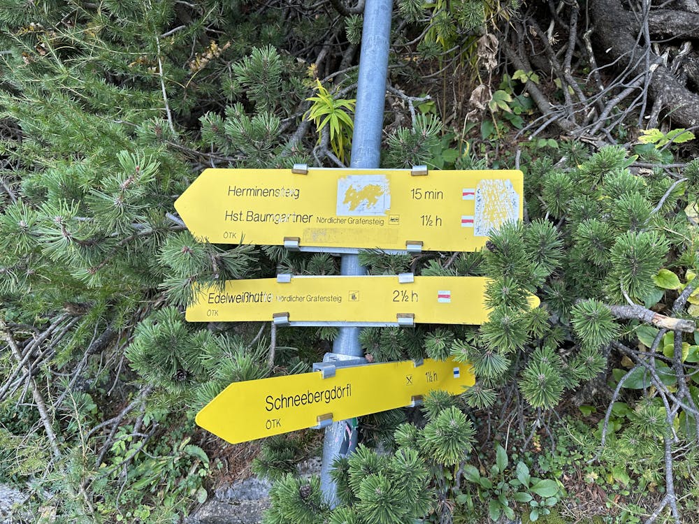
Description
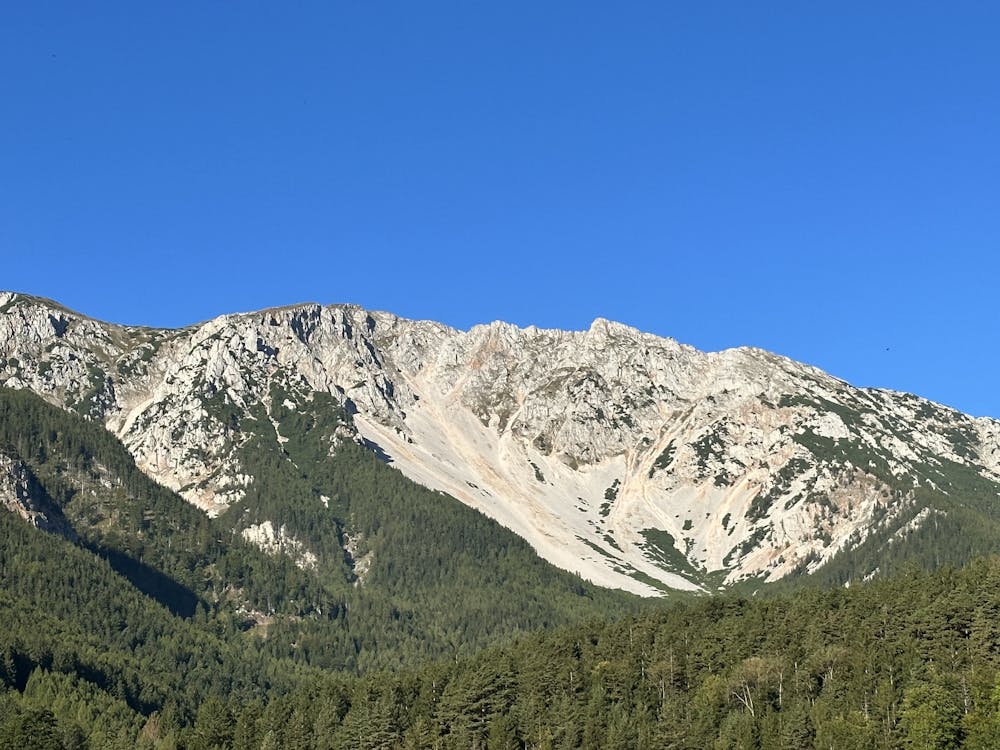
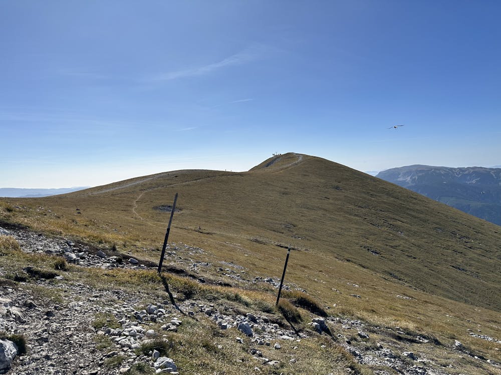
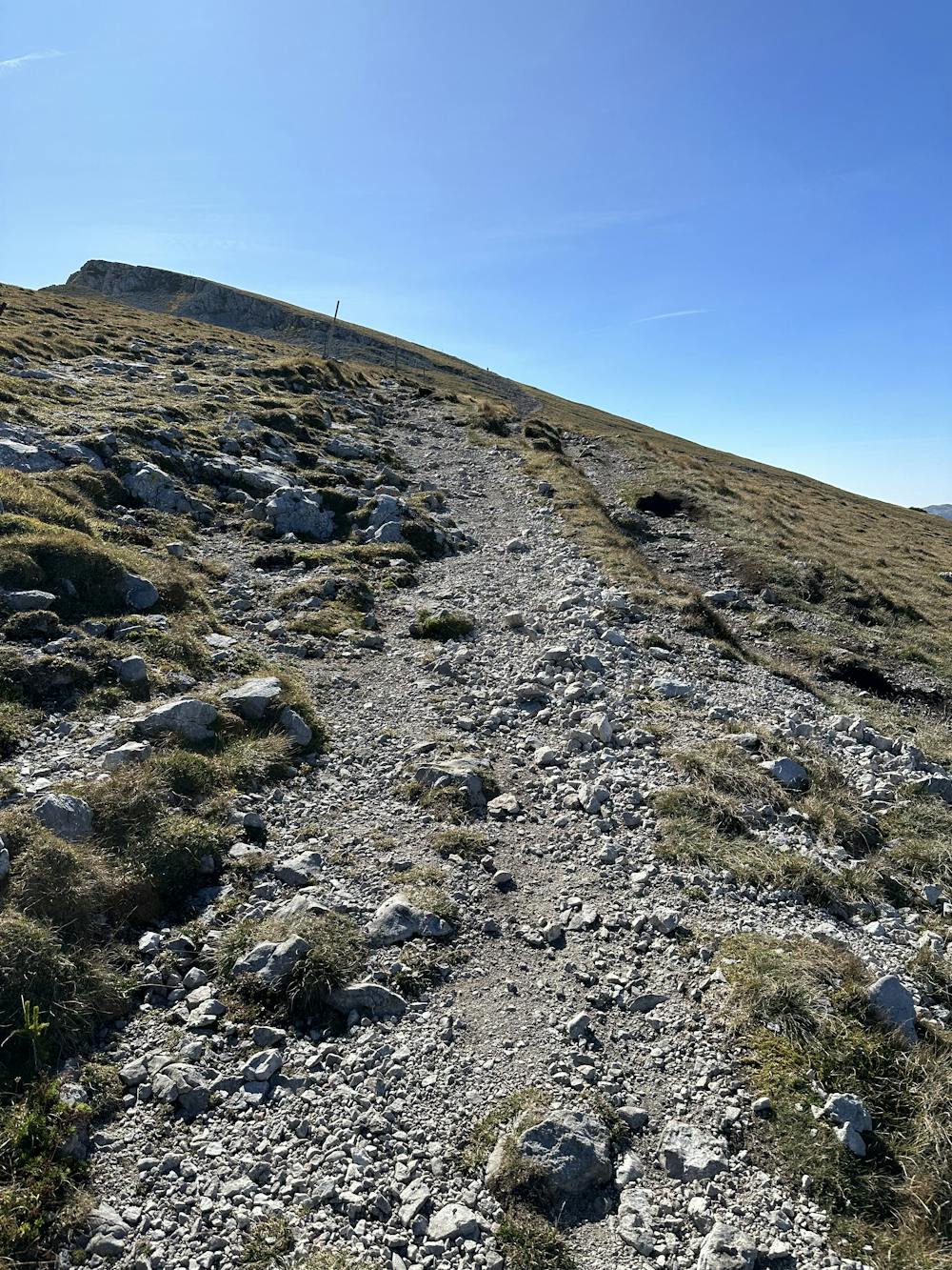
Traverse of Schneeberg This tour is possible all year long, but during winter season experience in mountaineering and adequate equipment is requiered. Good shape and stamina required as it as very long tour
Difficulty
Difficult
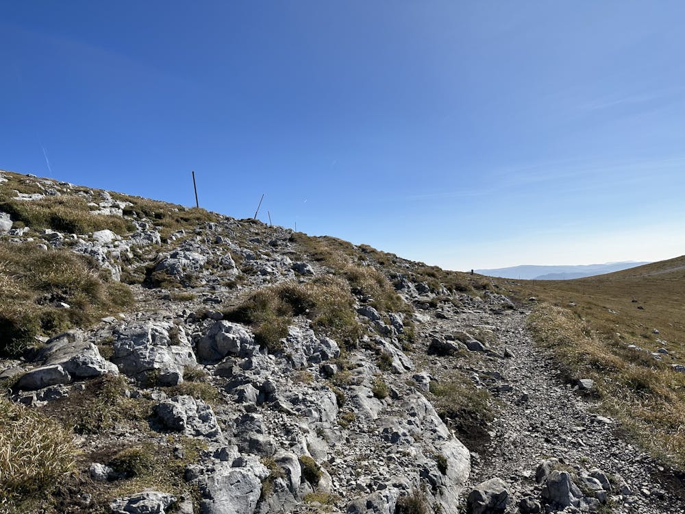
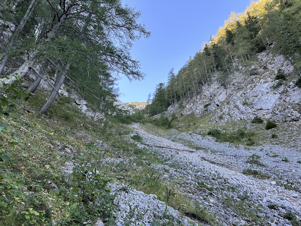
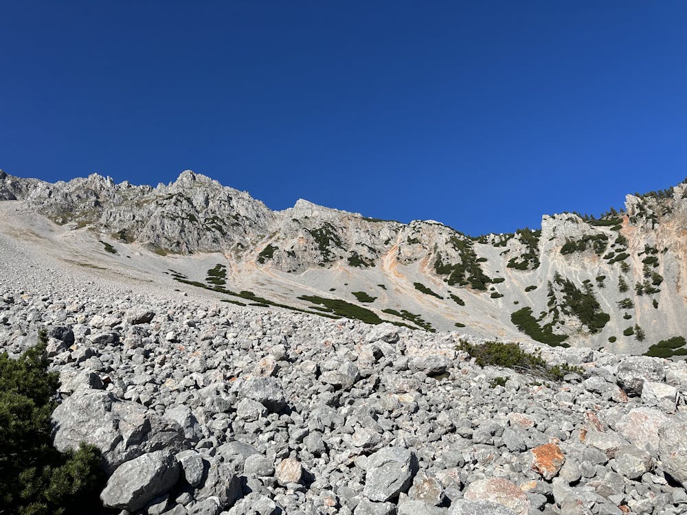
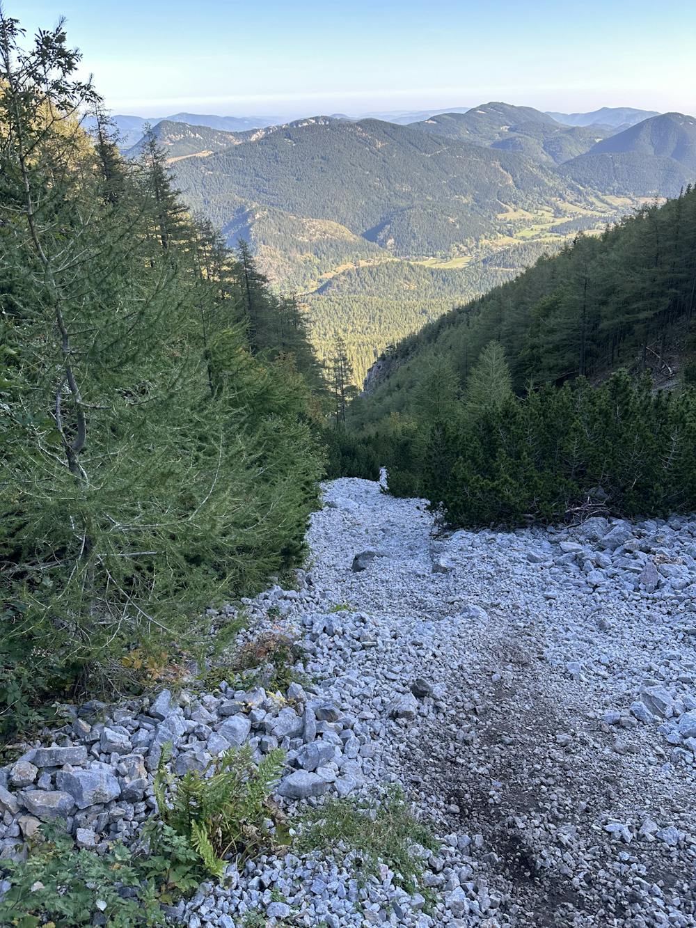
Hiking trails where obstacles such as rocks or roots are prevalent. Some obstacles can require care to step over or around. At times, the trail can be worn and eroded. The grade of the trail is generally quite steep, and can often lead to strenuous hiking.
Medium Exposure

The trail contains some obstacles such as outcroppings and rock which could cause injury.
Remoteness
Away from help but easily accessed.
Best time to visit
Features
- Alpine
- Wildlife
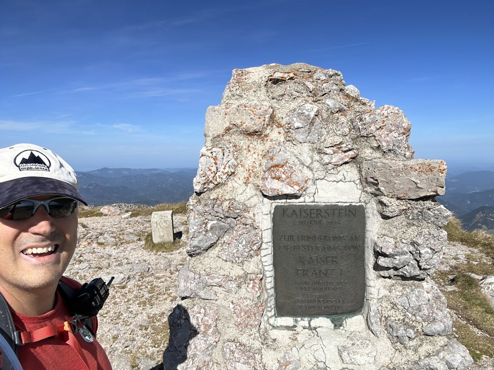
- Summit Hike
- Forestry or heavy vegetation