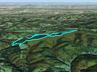
Rundumadum: Stages 21 and 22
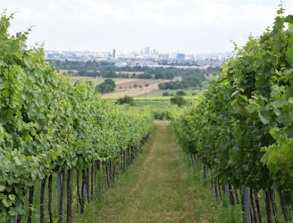
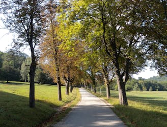
Here the Rundumadum is for wine lovers–passing between green rows of vineyards and meeting the doorstep of many traditional taverns.
Easy Hiking
- Distance
- 12 km
- Ascent
- 196 m
- Descent
- 138 m
Go hiking in Niederösterreich with curated guides of the best hikes across the region. With over 11 3D trail maps in FATMAP, you can easily discover and navigate the best trails in Niederösterreich.
No matter what your next adventure has in store, you can find a guide on FATMAP to help you plan your next epic trip.
Get a top hiking trail recommendation in Niederösterreich from one of our 3 guidebooks, or get inspired by the 11 local adventures uploaded by the FATMAP community. Start exploring now!
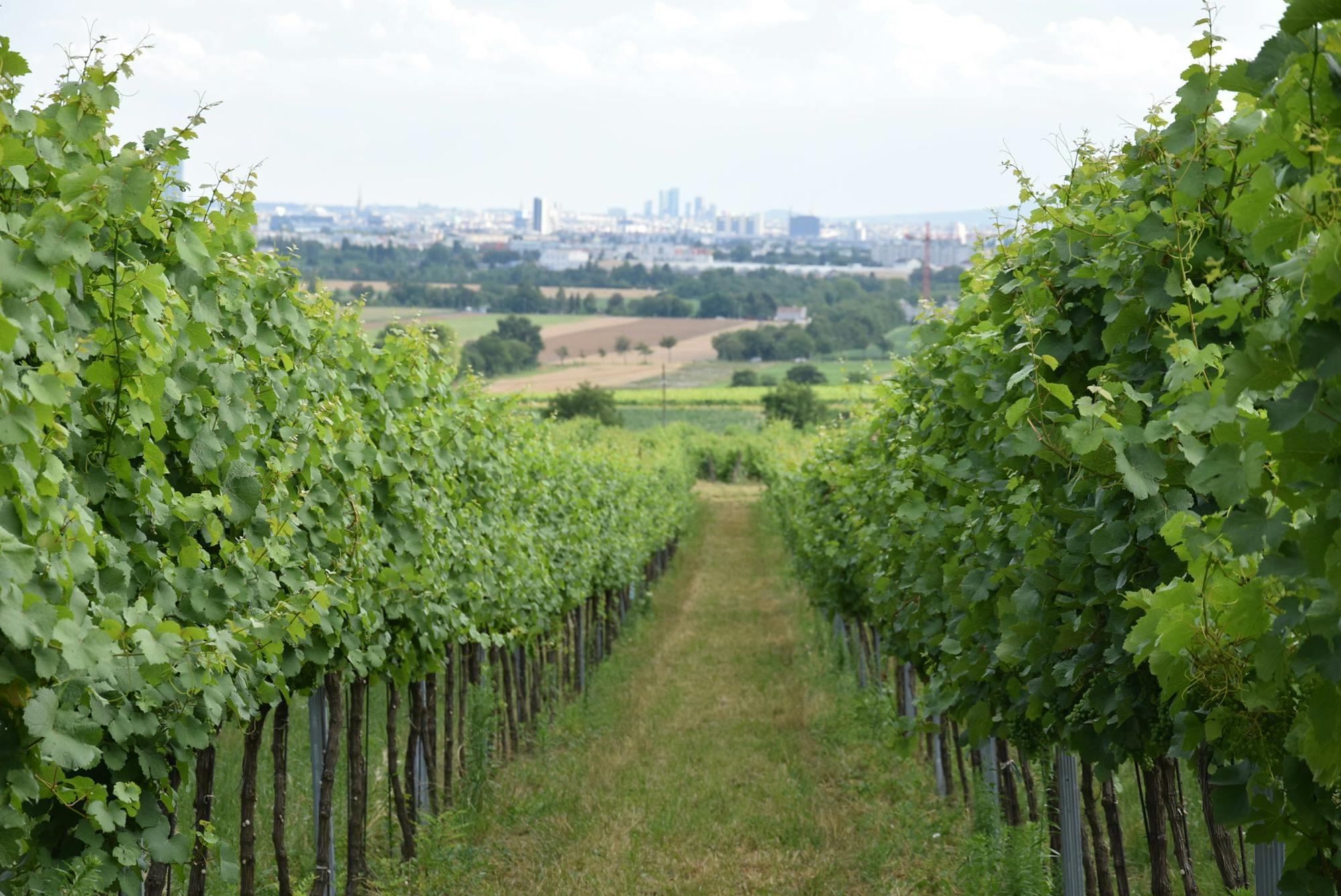
Here the Rundumadum is for wine lovers–passing between green rows of vineyards and meeting the doorstep of many traditional taverns.
Easy Hiking
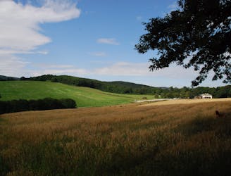
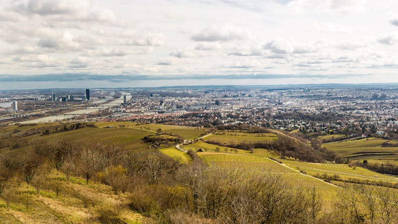
A balance of suburban and rural, forest and field, land and sky, on the outskirts of Donaustadt.
Easy Hiking
Path along the Leising waterway, linking many green parks in the city.
Easy Hiking
A dog-friendly route through the Maurer Wald, with a guesthouse nestled in the forest.
Easy Hiking
Through woods and meadows of Lainzer Tiergarten, then alongside a stream at the city outskirts.
Easy Hiking
A diverse mix of nature, history, and cuisine at the edge of the Vienna Woods Biosphere Reserve.
Moderate Hiking
Schneidergraben, Nandlgrat and Mieseltal
Difficult Hiking
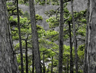
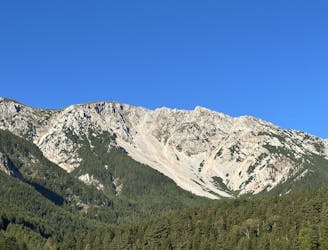
The highest peak of the Wienerwald
Moderate Hiking
12 routes · Hiking
15 routes · Hiking