805 m away
Rundumadum: Stages 8 and 9
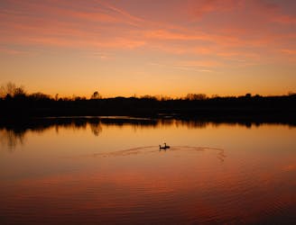
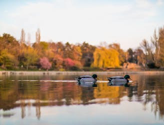
Path along the Leising waterway, linking many green parks in the city.
Easy Hiking
- Distance
- 9.8 km
- Ascent
- 31 m
- Descent
- 61 m
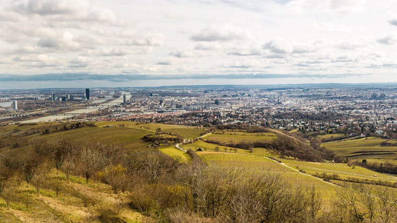
A diverse mix of nature, history, and cuisine at the edge of the Vienna Woods Biosphere Reserve.
Hiking Moderate

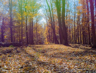
This city hiking path explores the forested, rolling hills at the southwest edge of Vienna, where the city meets the woods. In addition to the nature, attractions include old churches, war relics, an ancient quarry, and a smattering of modern additions like artwork and forest restaurants.
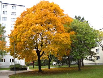
The walk begins at the tram station on Ketzergasse, a city street from which you can see the forested hill of Zugberg straight ahead. After taking a narrow side street and passing an 18th-century Catholic Church, the path goes into the woods and up this hill. Zugberg is a low rise, and merely a preview of the landscape that is to come.
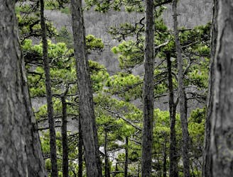
The path remains in the forest, dipping down then going back up, deeper into the Vienna Woods. After trending downhill once more, you’ll arrive at a restaurant called Wiener Hütte, at the edge of a field surrounded by the wood. It’s an isolated but comfortable location, serving Austrian and international fare.
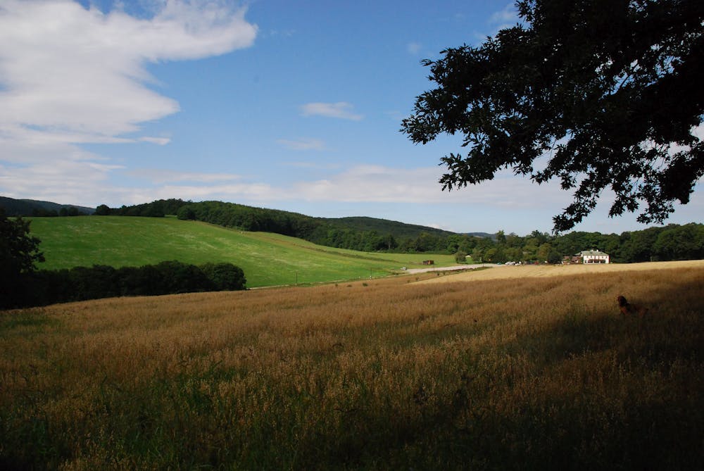
From there, continue downhill through the forest, nearing a residential area. You’ll pass a tennis club and Stub’n restaurant, then cross a road and enter the Maurer Wald. As you continue, the scenery alternates from forest to fields, in a countryside mosaic seemingly so removed from Vienna.
At one point, you’ll pass a concrete bunker, which is leftover from the war. A little farther on, you’ll come to a guesthouse only reached by hiking or biking, nestled in the middle of the forest. It has good food and drinks, outdoor seating, and playgrounds for children. A short distance away is an interesting historical site–a small quarry used by Neolithic people more than 7,000 years ago.
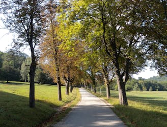
Continue downhill to reach the edge of Maurer Wald, where you can take a short detour to see the unique concrete architecture of Wotruba Church. The path then returns to the woods in a narrow, quiet valley before returning to town and finishing the loop on city streets.
Sources: https://www.wien.gv.at/umwelt/wald/freizeit/wandern/wege/wanderweg6.html https://tramposaurus.com/wanderbares-wien-zugberg-maurer-wald/
Moderate
Hiking along trails with some uneven terrain and small hills. Small rocks and roots may be present.

The trail contains some obstacles such as outcroppings and rock which could cause injury.
Away from help but easily accessed.
805 m away
Path along the Leising waterway, linking many green parks in the city.
Easy Hiking
3.8 km away
Through woods and meadows of Lainzer Tiergarten, then alongside a stream at the city outskirts.
Easy Hiking
3.8 km away
A dog-friendly route through the Maurer Wald, with a guesthouse nestled in the forest.
Easy Hiking
7.2 km away
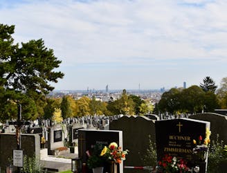
A walk through the varied environments of Favoriten and Simmering districts, which include forest parks, urban farms, the Central Cemetery, and eventually the Danube.
Easy Hiking
7.2 km away
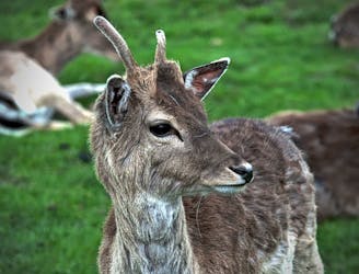
Explore the wildlife sanctuary of Lainzer, and see the palace that endures from its time as an imperial hunting ground.
Moderate Hiking
7.2 km away
The dog-friendly alternate route to Stage 6.
Easy Hiking
7.6 km away
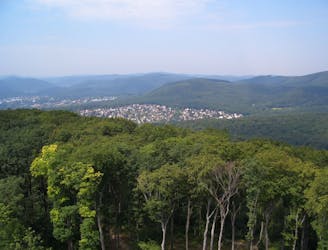
A peaceful woodland park and charming hillside suburbs lead to a lookout tower in the forest.
Easy Hiking
9.5 km away
A nicely varied path that connects city streets, forest recreation areas, an amusement park, and countryside farms in the southern part of Vienna.
Easy Hiking
9.6 km away
A balance of urban amenities and natural splendor in the diverse district of Ottakring.
Easy Hiking

3 routes · Hiking
12 routes · Hiking
15 routes · Hiking

7 routes · Hiking