2.4 km away
Stadtwanderweg 7 - Laaer Berg
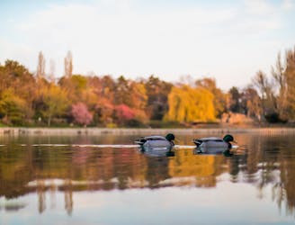
A nicely varied path that connects city streets, forest recreation areas, an amusement park, and countryside farms in the southern part of Vienna.
Easy Hiking
- Distance
- 14 km
- Ascent
- 138 m
- Descent
- 138 m

A walk through the varied environments of Favoriten and Simmering districts, which include forest parks, urban farms, the Central Cemetery, and eventually the Danube.
Hiking Easy

From its starting point at Tesarekplatz, Stage 10 goes immediately into the Wienerberg, a historic recreation area with forests, fields, and a lake. Over the treetops you can see the “Vienna Twin Tower” and hills of the Wienerwald on the horizon. In the vicinity are numerous leisure attractions including inns, restaurants, playgrounds, and a bike park.
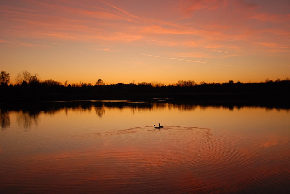
After passing through a residential area, the path next goes through Volkspark, a very green park with ponds and playgrounds. From there it’s a short distance to Laaer Wald, where dense woods dampen the noise of the city. Dogs are not allowed in Laaer Wald, but you can detour on Theodor-Sickel-Gasse to finish the stage.
Stage 11 begins at Tram 15A Langsulzgasse station and goes past another public park, then continues across farm fields and vineyards, soon crossing over a large railyard on a bridge. Next it reaches Vienna’s expansive Central Cemetery, which is the resting place of Beethoven and other famous figures. If you do not wish to walk through the cemetery, or if you have your dog, you can detour on Weichseltalweg and Simmeringer Hauptstrasse. The stage ends at the cemetery’s main gate, and Stage 12 goes on from there.
Along Stage 12 you’ll encounter urban farms, a produce market, restaurants, shops, and some playgrounds. It’s an enjoyable stroll through an often-overlooked corner of the city. The stage ends at Neu Albern, just before crossing the Danube on Zinnergasse.
Sources: https://www.wien.gv.at/umwelt/wald/freizeit/wandern/rundumadum/etappe10.html https://www.wien.gv.at/umwelt/wald/freizeit/wandern/rundumadum/etappe11.html https://www.wien.gv.at/umwelt/wald/freizeit/wandern/rundumadum/etappe12.html
Easy
Walking along a well-kept trail that’s mostly flat. No obstacles are present.
2.4 km away

A nicely varied path that connects city streets, forest recreation areas, an amusement park, and countryside farms in the southern part of Vienna.
Easy Hiking
6.5 km away
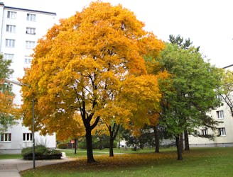
Path along the Leising waterway, linking many green parks in the city.
Easy Hiking
6.8 km away
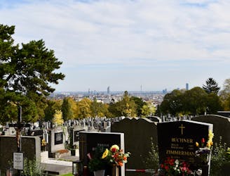
A balance of urban amenities and natural splendor in the diverse district of Ottakring.
Easy Hiking
7.2 km away
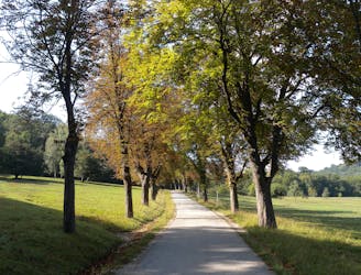
Through woods and meadows of Lainzer Tiergarten, then alongside a stream at the city outskirts.
Easy Hiking
7.2 km away
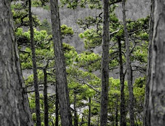
A dog-friendly route through the Maurer Wald, with a guesthouse nestled in the forest.
Easy Hiking
7.2 km away
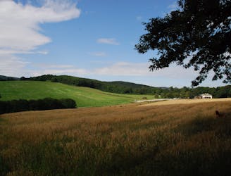
A diverse mix of nature, history, and cuisine at the edge of the Vienna Woods Biosphere Reserve.
Moderate Hiking
7.4 km away
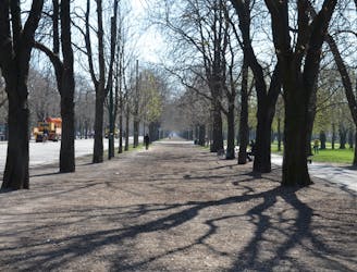
A loop with numerous recreation opportunities and a dose of nature in The Prater, a large public park and green space near the city center.
Easy Hiking
8.1 km away
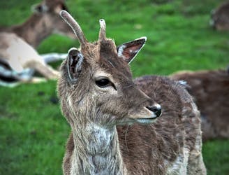
Explore the wildlife sanctuary of Lainzer, and see the palace that endures from its time as an imperial hunting ground.
Moderate Hiking
8.1 km away
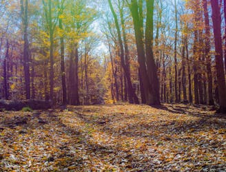
The dog-friendly alternate route to Stage 6.
Easy Hiking
8.3 km away
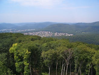
A peaceful woodland park and charming hillside suburbs lead to a lookout tower in the forest.
Easy Hiking

3 routes · Hiking
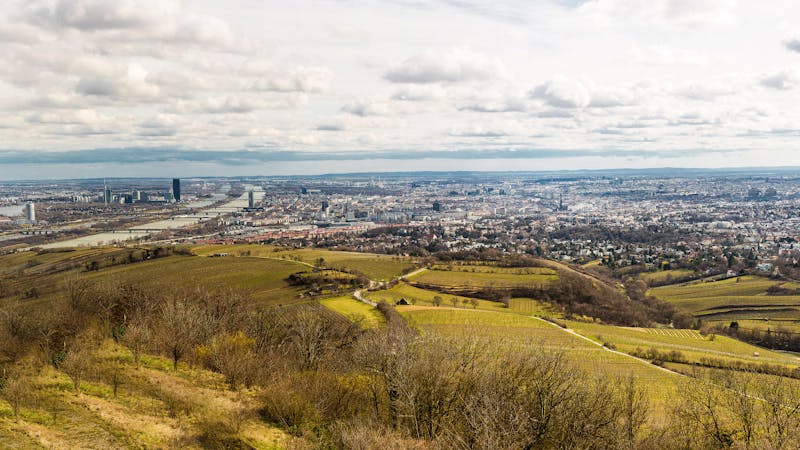
12 routes · Hiking
15 routes · Hiking
7 routes · Hiking