2.8 km away
Stadtwanderweg 3 - Hameau
Walk through one of Austria’s oldest garden parks, then up a tall hill in the Vienna Woods.
Moderate Hiking
- Distance
- 9.8 km
- Ascent
- 282 m
- Descent
- 282 m
A balance of urban amenities and natural splendor in the diverse district of Ottakring.
Hiking Easy

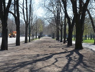
Stadtwanderweg 4a is ideal for those who want city experiences like shopping and dining, along with a dose of nature on the outskirts. The route begins in the heart of Ottakring, then extends into the Wienerwald. Though the distance can be walked in just a few hours, it’s best to allow most of the day for this excursion, in order to enjoy the diverse sights and tastes along the way.
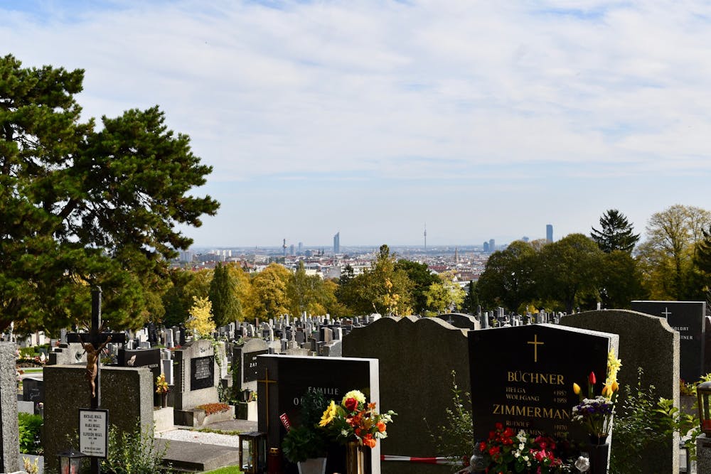
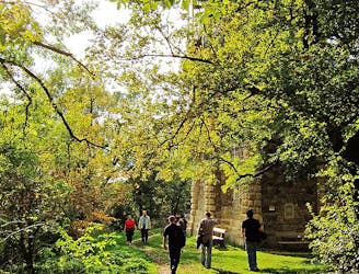
From the train station in Ottakring, you’ll first walk along Thaliastrasse, a main street with numerous urban conveniences. Continuing westward, you’ll pass a large cemetery as the streets become quieter and apartment buildings give way to houses. In this part of town, you’ll encounter more charming shops and guest houses, as well as a small wine tavern.
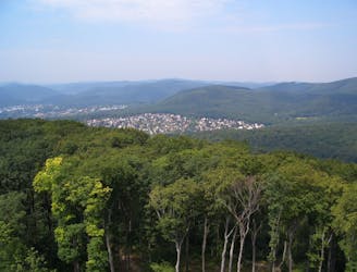
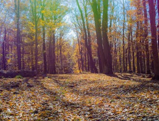
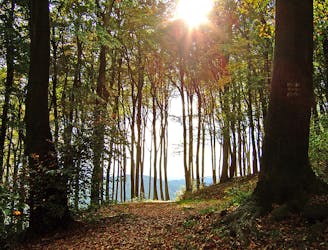
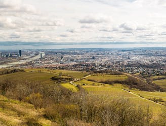
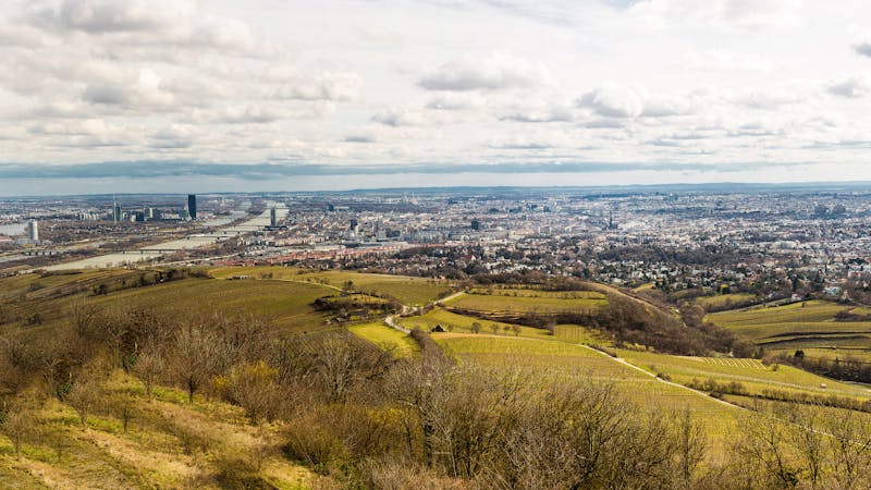
Soon enough, you’ll reach the edge of town, where the path turns to dirt and dives into the forest. It then goes uphill, under the soft shade of the canopy, passes a small pond, and eventually comes to a hilltop clearing where you’ll find the Jubiläumswarte lookout. If it is open, you can climb the winding stairs for a proud view over the distant city and surrounding landscape.
From there, the path returns to shelter in the forest and stays there some time, trending downhill and back toward Ottakring. When it emerges, the route closely follows residential streets for a while then comes to a grand hotel on a hill. Bypassing this hotel, a narrow road transects a small-scale winery with broad views over rows of vines to the town below. You can stop for a taste and a rest at the tavern here. After that, it’s only a bit farther on city streets to the train station where your walk began.
Sources: https://www.wien.gv.at/umwelt/wald/freizeit/wandern/wege/wanderweg4a.html https://secretvienna.org/the-story-of-the-jubilaumswarte/
Easy
Walking along a well-kept trail that’s mostly flat. No obstacles are present.

The trail contains some obstacles such as outcroppings and rock which could cause injury.

Close to help in case of emergency.
2.8 km away
Walk through one of Austria’s oldest garden parks, then up a tall hill in the Vienna Woods.
Moderate Hiking
3.7 km away
Stage 4 explores more hills in the Wienerwald, one with a lookout tower and another with an equestrian center, then Stage 5 goes through two very green recreation areas at the edge of the city.
Moderate Hiking
3.9 km away
A peaceful woodland park and charming hillside suburbs lead to a lookout tower in the forest.
Easy Hiking
4.1 km away
The dog-friendly alternate route to Stage 6.
Easy Hiking
4.1 km away
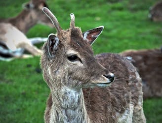
Explore the wildlife sanctuary of Lainzer, and see the palace that endures from its time as an imperial hunting ground.
Moderate Hiking
4.6 km away
Countryside stroll at the edge of Vienna’s Woods, with many possibilities for sightseeing, eating, and enjoyment of nature.
Moderate Hiking
5.8 km away
These stages climb over tall hills in the Vienna Woods, including Hermannskogel–the tallest in all of Vienna.
Moderate Hiking
6 km away
A loop with numerous recreation opportunities and a dose of nature in The Prater, a large public park and green space near the city center.
Easy Hiking
6.5 km away
Walk through vineyards and forests, to the top of Kahlenberg and back down, with lofty views over Vienna.
Moderate Hiking
6.5 km away
A dog-friendly route through the Maurer Wald, with a guesthouse nestled in the forest.
Easy Hiking

3 routes · Hiking
12 routes · Hiking
15 routes · Hiking

7 routes · Hiking