1.1 km away
Stadtwanderweg 2 - Hermannskogel
Countryside stroll at the edge of Vienna’s Woods, with many possibilities for sightseeing, eating, and enjoyment of nature.
Moderate Hiking
- Distance
- 9.4 km
- Ascent
- 365 m
- Descent
- 365 m
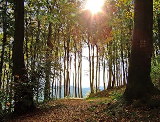
These stages climb over tall hills in the Vienna Woods, including Hermannskogel–the tallest in all of Vienna.
Hiking Moderate

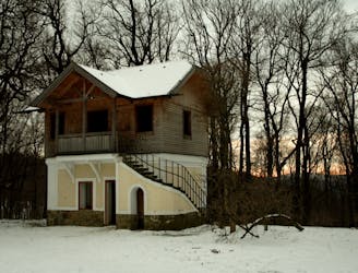
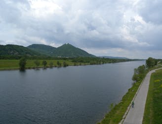
Stage 2 of the Rundumadum begins from Cobenzl winery and children’s farm, overlooking Vienna’s skyline. From there, a dirt path leads uphill through young forest and some hillside clearings to Gasthaus zum Agnesbründl, which also has a small farm and a playground.
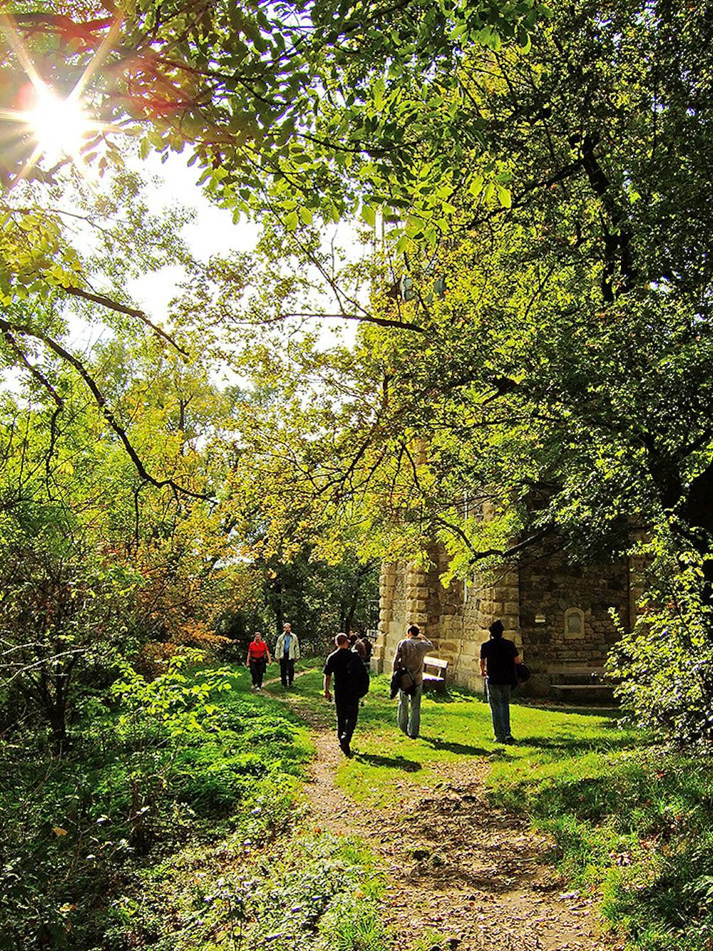
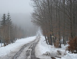
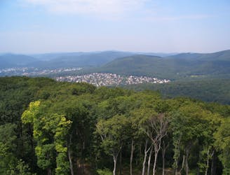
Back in the forest, the trail traces the slope of Hermannskogel, which is the tallest hill in Vienna. You can take a short detour from Rundumadum to reach the top. On the descent, grassy meadows punctuate shady forest, and the path eventually comes to an inn with a cozy café. After that, it’s only a short distance uphill, through continual forest, to Häuserl am Roan and Höhenstrasse. This is the end of Stage 2, and you can catch a bus here if not proceeding to Stage 3.
On Stage 3, the Rundumadum continues as a dirt path in the forest, and up a hill called Hameau. On top is a grassy meadow with a historic refuge house that’s no longer used. The trail then makes a somewhat steep descent of the hill and comes to a road, which it follows to Schwarzenbergpark. This is an inviting landscaped park, and one of the oldest in Vienna. The stage ends at the far end of the park, near Marswiese bus stop.
Sources: https://www.wien.gv.at/umwelt/wald/freizeit/wandern/rundumadum/etappe2.html https://www.wien.gv.at/umwelt/wald/freizeit/wandern/rundumadum/etappe3.html
Moderate
Hiking along trails with some uneven terrain and small hills. Small rocks and roots may be present.

The trail contains some obstacles such as outcroppings and rock which could cause injury.
Away from help but easily accessed.
1.1 km away
Countryside stroll at the edge of Vienna’s Woods, with many possibilities for sightseeing, eating, and enjoyment of nature.
Moderate Hiking
3.1 km away
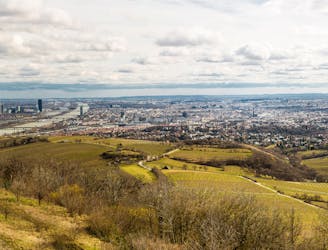
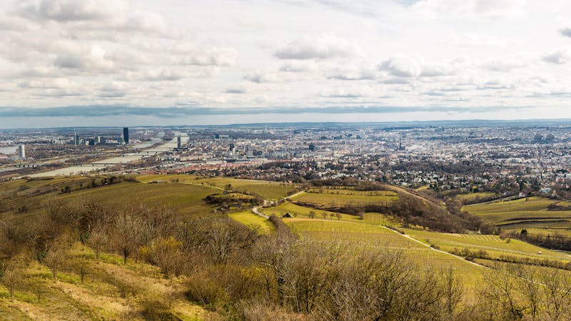
Walk through vineyards and forests, to the top of Kahlenberg and back down, with lofty views over Vienna.
Moderate Hiking
3.5 km away

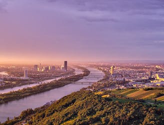
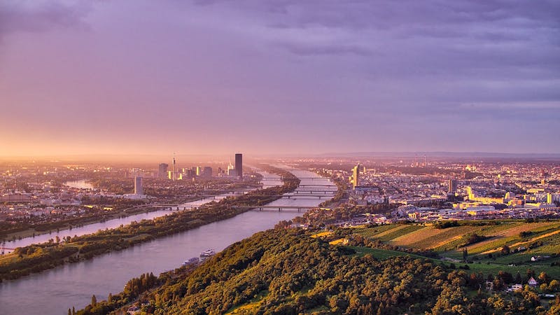
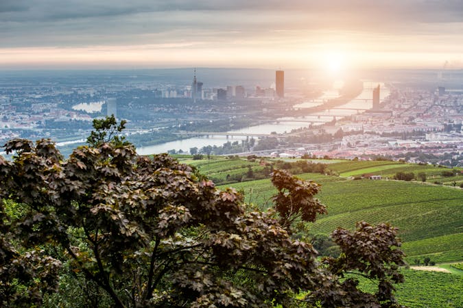
Climb from the Danube waterfront to the best view over Vienna, then continue through forests and fields with opportunities for wine and food tasting.
Moderate Hiking
3.6 km away
A highlight section of Vienna's "All-Around" hiking trail, climbing from the shore of the Danube to a panorama atop Leopoldsberg.
Difficult Hiking
4.1 km away
Walk through one of Austria’s oldest garden parks, then up a tall hill in the Vienna Woods.
Moderate Hiking
4.1 km away
Stage 4 explores more hills in the Wienerwald, one with a lookout tower and another with an equestrian center, then Stage 5 goes through two very green recreation areas at the edge of the city.
Moderate Hiking
5.8 km away
A balance of urban amenities and natural splendor in the diverse district of Ottakring.
Easy Hiking
7.4 km away
A loop with numerous recreation opportunities and a dose of nature in The Prater, a large public park and green space near the city center.
Easy Hiking
7.9 km away
From the wine country down to the Danube, through the interface of city and nature.
Easy Hiking
8.2 km away
A peaceful woodland park and charming hillside suburbs lead to a lookout tower in the forest.
Easy Hiking
3 routes · Hiking
12 routes · Hiking
15 routes · Hiking
7 routes · Hiking