FATMAP by Strava

Stadtwanderweg 1 - Kahlenberg

Walk through vineyards and forests, to the top of Kahlenberg and back down, with lofty views over Vienna.

Hiking Moderate

Distance
11 km
Ascent
328 m
Descent
328 m
Duration
2-3 hrs
Low Point
178 m
High Point
478 m
Gradient
Stadtwanderweg 1 - Kahlenberg Map

A good starting point for city hiking trail 1 is the Nussdorf terminus of Tram D. From there, you’ll follow a tree-lined path to Beethovenpark and a statue of the composer. Then you’ll reach the outskirts where the city gives way to vineyards. You can stop at one of a few small wineries for a drink and a snack before continuing among forests and fields into the hills. A gradual climb through a verdant valley leads to a rolling ridge, where the path parallels Höhenstrasse to reach the top of Kahlenberg.

Description

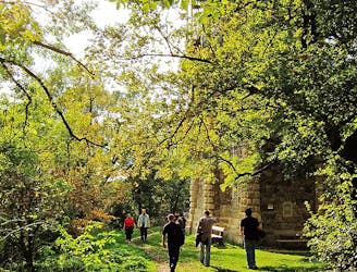
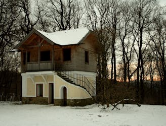
There you’ll find the church, which is a heritage site, and a classy restaurant with a wonderful view over the city. Take time to see these popular attractions if you wish, or continue walking along the trail. You’ll next come to an adventure ropes course, a grassy field, and Josefinenhütte, where you can stop if you’ve not yet eaten.

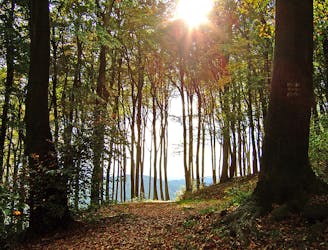
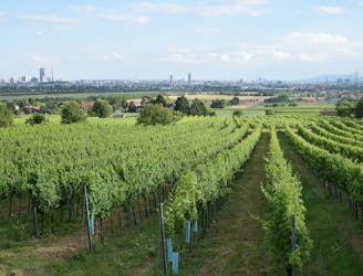
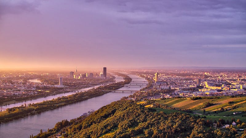
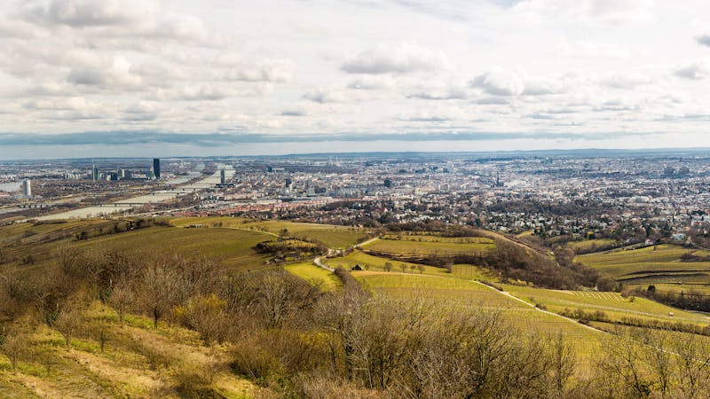
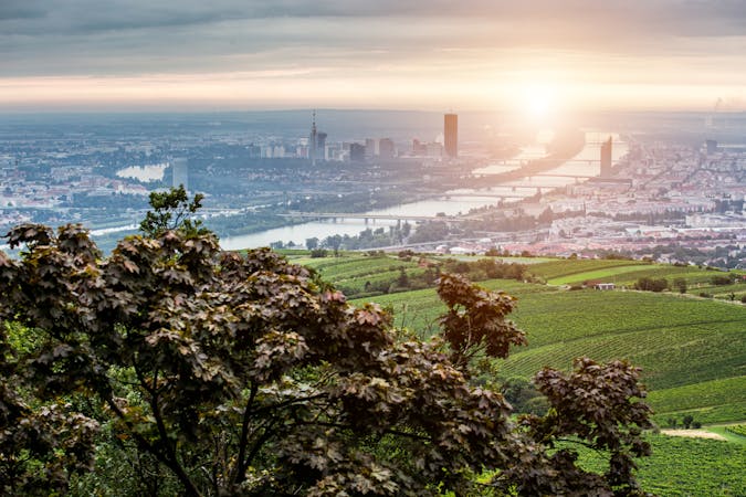
From there, the path goes downhill through dense and still forest, then emerges on a countryside road and descends the panoramic ridge of the Nussberg. You’ll gaze over vineyard rows at the city and the Danube below. More wineries along the road are worth a pause if you have the time. At the bottom of the hill, the city path leads efficiently back to the starting point at the tram stop.

Sources: https://www.wien.info/en/sightseeing/green-vienna/hiking-in-around https://www.wien.gv.at/umwelt/wald/freizeit/wandern/wege/wanderweg1.html

Difficulty

Moderate

Hiking along trails with some uneven terrain and small hills. Small rocks and roots may be present.

Medium Exposure

2 out of 4

The trail contains some obstacles such as outcroppings and rock which could cause injury.

Remoteness

1 out of 4

Close to help in case of emergency.

Best time to visit

all year round

Features

  • Historical
  • Picturesque
  • Summit Hike
  • Dog friendly
  • Wild flowers
  • Family friendly
  • Forestry or heavy vegetation

Similar routes nearby

Guidebooks in this area