951 m away
Stadtwanderweg 3 - Hameau
Walk through one of Austria’s oldest garden parks, then up a tall hill in the Vienna Woods.
Moderate Hiking
- Distance
- 9.8 km
- Ascent
- 282 m
- Descent
- 282 m
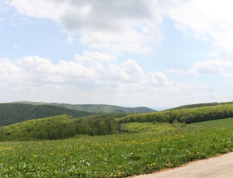
Stage 4 explores more hills in the Wienerwald, one with a lookout tower and another with an equestrian center, then Stage 5 goes through two very green recreation areas at the edge of the city.
Hiking Moderate

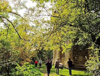
From Marswiese, the path goes into the woods and comes soon to the Hanslteich, which is a small lake overlooked by a gourmet restaurant. From there, it continues gradually uphill and reaches the Schottenhof equestrian center, where there is also a restaurant.
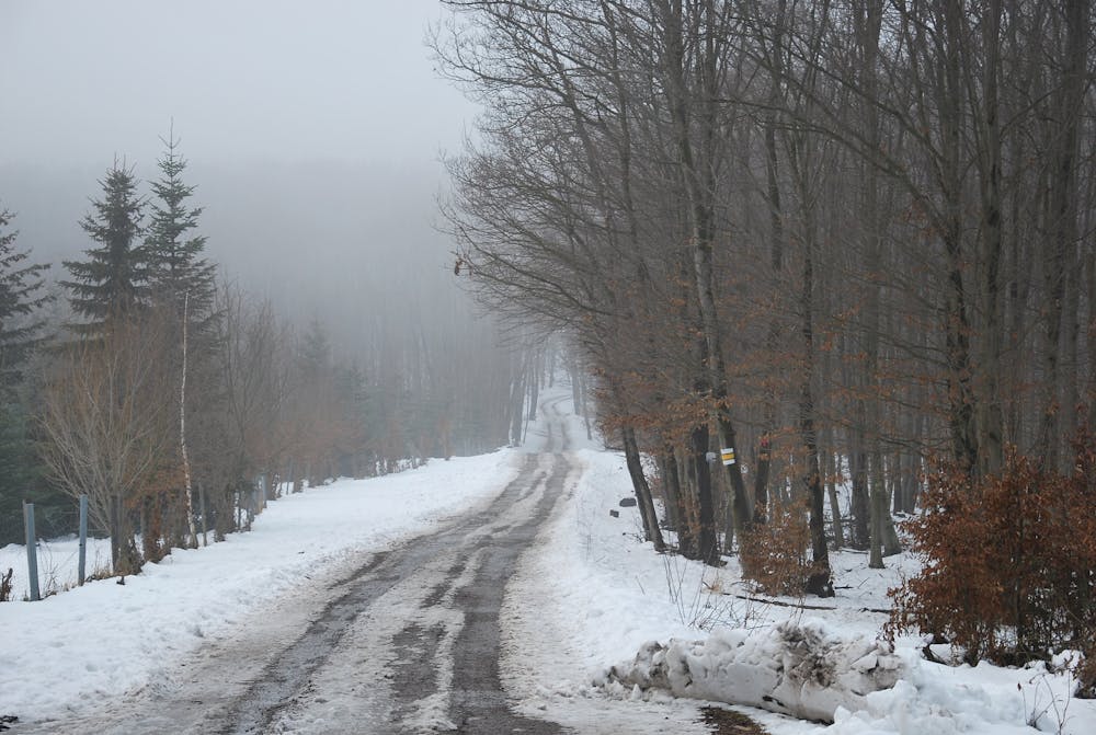
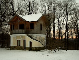
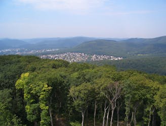
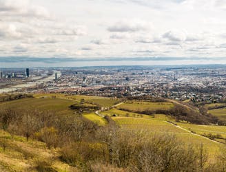
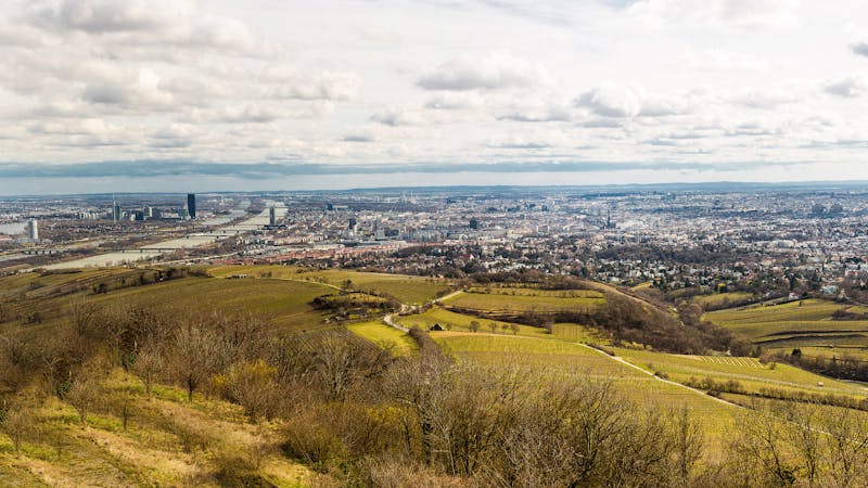
Heading a bit more steeply upward, the trail next reaches a hilltop meadow. which is a crossroads for many hiking and biking paths. Here, the Rundumadum briefly joins Stadtwanderweg 4 to reach the Jubiläumswarte. If it is open, you can climb its spiral stairs to a 360-degree panorama over the Wienerwald and toward the Hausberge.
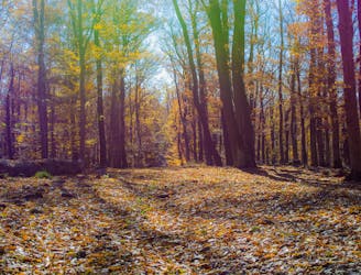
From there, the path descends gradually to the edge of town at Steinhof Fire Station. This is the end of Stage 4 and the beginning of Stage 5. The next portion is through Steinhofgründe, a landscaped recreation area with broad, grassy lawns and groves of trees. Dogs are not allowed here, so if hiking with your pet you must detour on Heschweg to the next portion, which is Dehnepark.
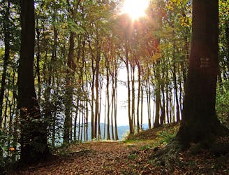
Dehnepark is an adjacent recreation area that’s hillier and more densely forested than Steinhof. Here the trail descends somewhat steeply into a shady valley with a small creek, also passing the historic “ruined villa” and an attractive little pond. After briefly rejoining city streets, Stage 5 ends at Hütteldorf train station.
Sources: https://www.wien.gv.at/umwelt/wald/freizeit/wandern/rundumadum/etappe4.html https://www.wien.gv.at/umwelt/wald/freizeit/wandern/rundumadum/etappe5.html https://www.wien.gv.at/umwelt/wald/erholung/steinhof.html
Moderate
Hiking along trails with some uneven terrain and small hills. Small rocks and roots may be present.

The trail contains some obstacles such as outcroppings and rock which could cause injury.

Close to help in case of emergency.
951 m away
Walk through one of Austria’s oldest garden parks, then up a tall hill in the Vienna Woods.
Moderate Hiking
3.2 km away
Countryside stroll at the edge of Vienna’s Woods, with many possibilities for sightseeing, eating, and enjoyment of nature.
Moderate Hiking
3.7 km away
A balance of urban amenities and natural splendor in the diverse district of Ottakring.
Easy Hiking
4.1 km away
These stages climb over tall hills in the Vienna Woods, including Hermannskogel–the tallest in all of Vienna.
Moderate Hiking
4.4 km away
A peaceful woodland park and charming hillside suburbs lead to a lookout tower in the forest.
Easy Hiking
4.8 km away
The dog-friendly alternate route to Stage 6.
Easy Hiking
4.8 km away
Explore the wildlife sanctuary of Lainzer, and see the palace that endures from its time as an imperial hunting ground.
Moderate Hiking
5.5 km away
Over hills and through valleys in the Vienna Woods, seemingly far from the city.
Moderate Hiking
6.5 km away
Walk through vineyards and forests, to the top of Kahlenberg and back down, with lofty views over Vienna.
Moderate Hiking
6.8 km away

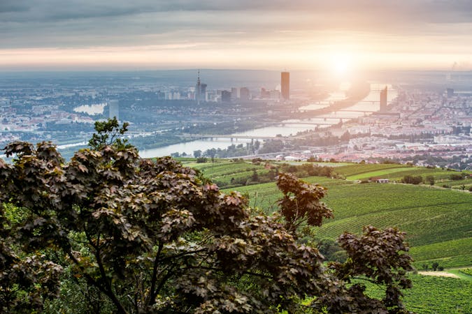
Climb from the Danube waterfront to the best view over Vienna, then continue through forests and fields with opportunities for wine and food tasting.
Moderate Hiking

3 routes · Hiking
12 routes · Hiking
15 routes · Hiking
7 routes · Hiking