429 m away
Rundumadum: Stage 6 - Route 2
The dog-friendly alternate route to Stage 6.
Easy Hiking
- Distance
- 6.7 km
- Ascent
- 217 m
- Descent
- 165 m
A peaceful woodland park and charming hillside suburbs lead to a lookout tower in the forest.
Hiking Easy

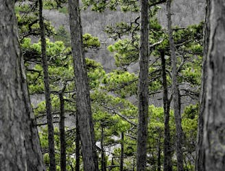
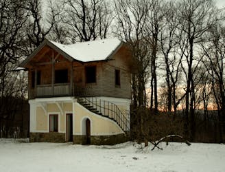
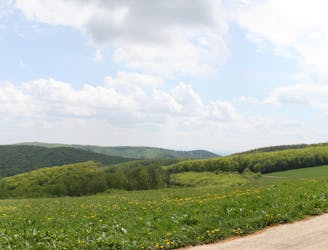
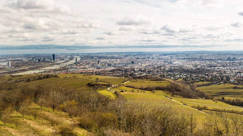
The Jubiläumswarte is a lookout tower on a hilltop in the Vienna Woods. From it’s elevated vantage point, you can see over the city to the east and, on a very clear day, glimpse Mount Schneeberg far to the south. You can also appreciate the expanse of the Wienerwald to the west.

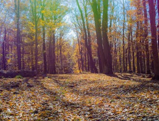
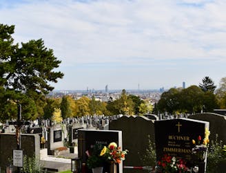
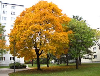
The walk begins at Rettichgasse station of Tram 49 and leads into Dehnepark, an attractive woodland recreation area. Highlights here include a photogenic ruined villa and the Silbersee pond. Near the pond, the dirt path winds upward among diverse trees and beneath rock cliffs.
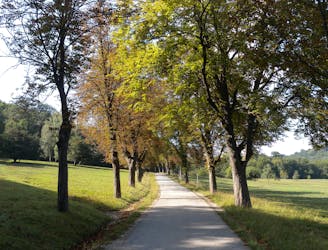
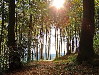
Next, the hiking route follows a road through two hillside suburbs that overlook the city center. After passing through the second of these, it becomes a dirt path once again and soon finds the hilltop with the Jubiläumswarte. Climb the tower’s stairs to your rewarding panorama.
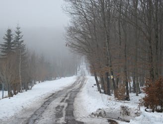
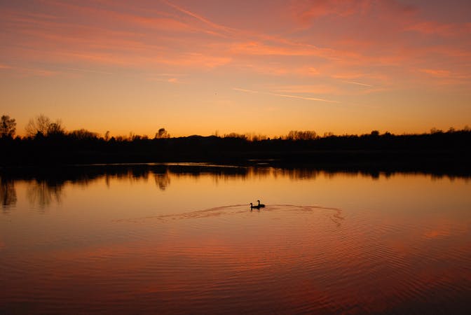
From there, the Stadtwanderweg meanders down the other side of the hill, remaining in shady woodland for most of the time, but meeting one grassy meadow that makes a peaceful picnic spot. Later the trail crosses a road then passes another small pond. Shortly after, it rejoins residential streets and paved paths to go loop back to Dehnepark and return to the starting point.
Sources: https://www.wien.gv.at/umwelt/wald/freizeit/wandern/wege/wanderweg4.html https://secretvienna.org/the-story-of-the-jubilaumswarte/
Easy
Walking along a well-kept trail that’s mostly flat. No obstacles are present.

The trail contains some obstacles such as outcroppings and rock which could cause injury.

Close to help in case of emergency.
429 m away
The dog-friendly alternate route to Stage 6.
Easy Hiking
436 m away
Explore the wildlife sanctuary of Lainzer, and see the palace that endures from its time as an imperial hunting ground.
Moderate Hiking
3.9 km away
A dog-friendly route through the Maurer Wald, with a guesthouse nestled in the forest.
Easy Hiking
3.9 km away
Through woods and meadows of Lainzer Tiergarten, then alongside a stream at the city outskirts.
Easy Hiking
3.9 km away
A balance of urban amenities and natural splendor in the diverse district of Ottakring.
Easy Hiking
4.1 km away
Walk through one of Austria’s oldest garden parks, then up a tall hill in the Vienna Woods.
Moderate Hiking
4.4 km away
Stage 4 explores more hills in the Wienerwald, one with a lookout tower and another with an equestrian center, then Stage 5 goes through two very green recreation areas at the edge of the city.
Moderate Hiking
4.7 km away
Over hills and through valleys in the Vienna Woods, seemingly far from the city.
Moderate Hiking
7 km away
Path along the Leising waterway, linking many green parks in the city.
Easy Hiking
7.1 km away
Countryside stroll at the edge of Vienna’s Woods, with many possibilities for sightseeing, eating, and enjoyment of nature.
Moderate Hiking

3 routes · Hiking
12 routes · Hiking
15 routes · Hiking

7 routes · Hiking