2 km away
Stadtwanderweg 5 - Bisamberg
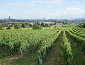
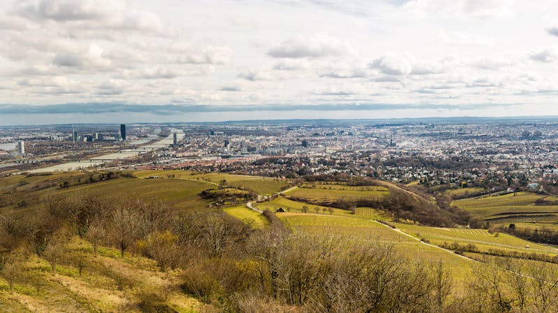
A countryside walk for wine enthusiasts, between inviting heurige and through hillside vineyards overlooking Vienna.
Easy Hiking
- Distance
- 10 km
- Ascent
- 206 m
- Descent
- 206 m
From the wine country down to the Danube, through the interface of city and nature.
Hiking Easy

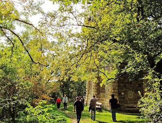
Stage 23 begins at Steinernes Kreuz, among several small heurige (wine taverns). You’ll find even more of them along Stammersdorfer Kellergasse, which is a short detour from the Rundumadum route on Krottenhofgasse. This quieter, shady street too has more taverns and guesthouses along it, but not as many. The scenery is quite idyllic, with tree-lined lanes and vineyards on either side.
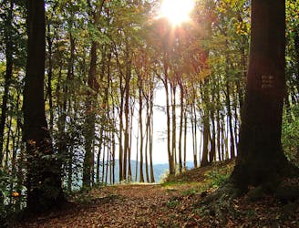
The city is nearby, though, and you’ll soon enter a more urban environment with a great variety of shops and accommodations. The street Mühlweg avoids the busiest part of town, instead going through a residential area and past a small park with a playground, then meets the Marchfeld Canal and the greenery that surrounds it.
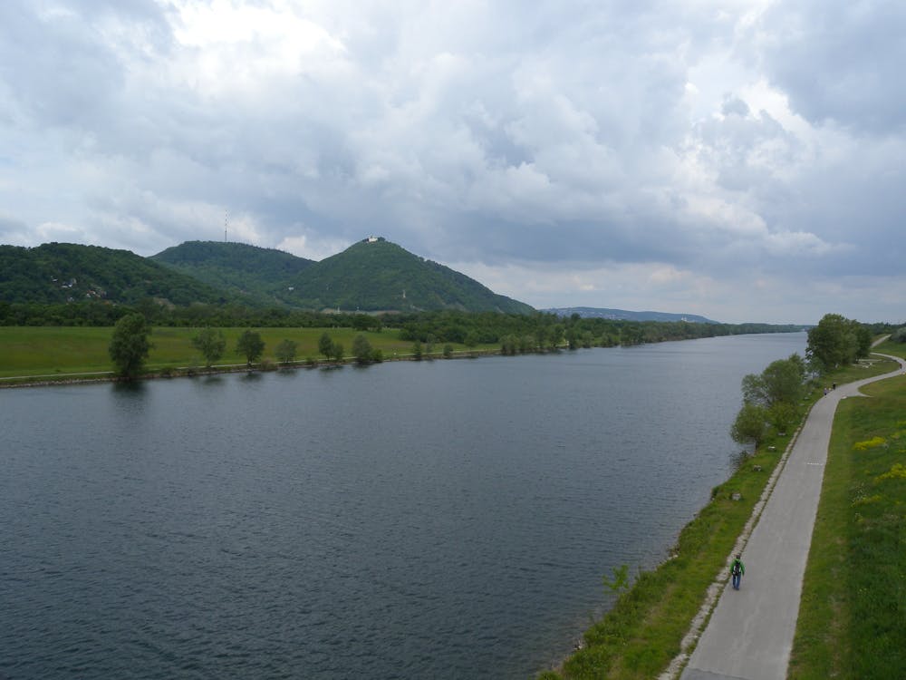
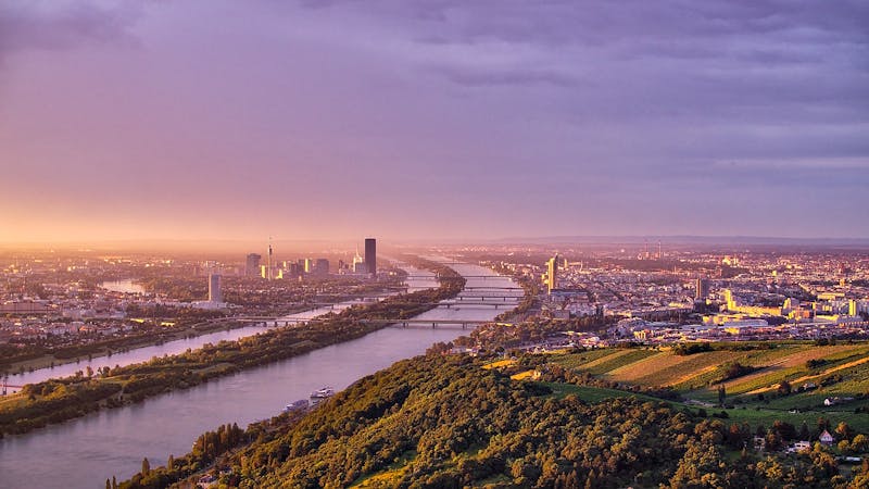
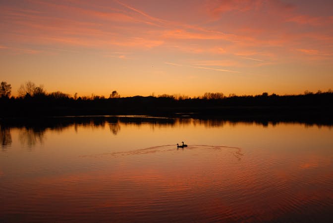
The stage ends at Strebersdorf train station, but you can skip the turn to that station if continuing on Stage 24. This, the final stage of the Rundumadum, continues to cross the Danube. Following the canal, it enters an urban wetland and forest area where you’re likely to spot a diversity of bird life. Next, it takes a paved road crossing over the autobahn and comes to the shore of the Danube, in a grassy park with excellent views across to Kahlenberg.
After some time strolling in this park, you’ll cross the New Danube on Jedlese bridge to reach Danube Island, with more green lawns and views over the water. The city draws nearer, and the stage nears its end, as you cross the river once more and go beneath the autobahn overpass. A pedestrian bridge goes over the Danube Canal, and you’ll then trace this waterway beneath many road bridges before finally reaching the train station at Nussdorf. This is the start of Stage 1, and thus the Rundumadum completes its loop “all the way around” Vienna.
Sources: https://www.wien.gv.at/umwelt/wald/freizeit/wandern/rundumadum/etappe23.html https://www.wien.gv.at/umwelt/wald/freizeit/wandern/rundumadum/etappe24.html
Easy
Walking along a well-kept trail that’s mostly flat. No obstacles are present.

The path is on completely flat land and potential injury is limited to falling over.
Close to help in case of emergency.
2 km away
A countryside walk for wine enthusiasts, between inviting heurige and through hillside vineyards overlooking Vienna.
Easy Hiking
6.1 km away

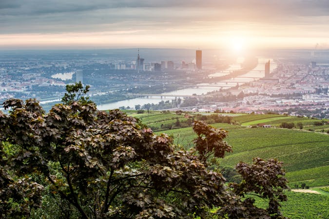
A highlight section of Vienna's "All-Around" hiking trail, climbing from the shore of the Danube to a panorama atop Leopoldsberg.
Difficult Hiking
6.2 km away

Climb from the Danube waterfront to the best view over Vienna, then continue through forests and fields with opportunities for wine and food tasting.
Moderate Hiking
6.3 km away
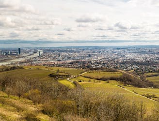
Walk through vineyards and forests, to the top of Kahlenberg and back down, with lofty views over Vienna.
Moderate Hiking
6.4 km away
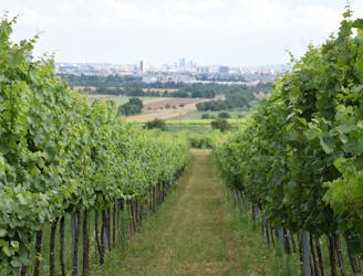
Here the Rundumadum is for wine lovers–passing between green rows of vineyards and meeting the doorstep of many traditional taverns.
Easy Hiking
7.9 km away
These stages climb over tall hills in the Vienna Woods, including Hermannskogel–the tallest in all of Vienna.
Moderate Hiking
8.9 km away
Countryside stroll at the edge of Vienna’s Woods, with many possibilities for sightseeing, eating, and enjoyment of nature.
Moderate Hiking
9.5 km away

A stroll on the edge of the city–at the nexus of nature, agriculture, and industry in Donaustadt.
Easy Hiking
3 routes · Hiking
12 routes · Hiking
15 routes · Hiking
7 routes · Hiking