1 km away
Rundumadum: Stages 19 and 20
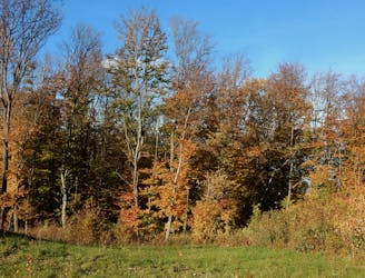
A balance of suburban and rural, forest and field, land and sky, on the outskirts of Donaustadt.
Easy Hiking
- Distance
- 8.3 km
- Ascent
- 20 m
- Descent
- 17 m

A stroll on the edge of the city–at the nexus of nature, agriculture, and industry in Donaustadt.
Hiking Easy

Stadtwanderweg 10 is the newest of Vienna’s city hiking paths, and also the shortest. It tours an interesting blend of nature and development on the outskirts of Donaustadt, on the quieter side of the Danube.
It begins from the Breitenlee Friedhof bus stop. The path first takes a tree-shaded lane alongside the cemetery, then crosses a field to join a busier street. You won’t stay there long, however, before turning on a dirt road with crops to one side and trees on the other. Beyond the trees rises an artificial hill, which is a landfill, but you’ll soon see how this dumpsite is also being reclaimed by nature. Next to it is a small wood with two tranquil ponds, which are rich in life. You can watch for birds or go fishing.
From there, the path continues along the edge of a field, beside a fence that guards the landfill. It then comes within sight of a major road and large shopping center but stays removed on a grassy overpass, then crosses an old railroad and returns to greener scenery.
On a dirt road, it traces the edge of another small wood, at the boundary with agriculture fields. Then, after joining residential streets for a while, you’ll come to the Norbert-Scheed Forest, where you’ll encounter the overgrown ruins of aged infrastructure, as well as a small lake. From there, it’s only a short distance to Breitenleer Street and back to the starting point. This street has at least one restaurant and a bakery, in case you crave food or a drink after your hike.
Sources: https://www.wien.gv.at/umwelt/wald/freizeit/wandern/wege/wanderweg10.html
Easy
Walking along a well-kept trail that’s mostly flat. No obstacles are present.
1 km away

A balance of suburban and rural, forest and field, land and sky, on the outskirts of Donaustadt.
Easy Hiking
4.7 km away
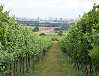
Here the Rundumadum is for wine lovers–passing between green rows of vineyards and meeting the doorstep of many traditional taverns.
Easy Hiking
5.9 km away
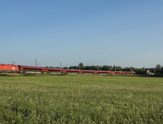
Leaving the national park, the route returns to a suburban environment, but with doses of nature in public parks and farm fields.
Easy Hiking
6.6 km away
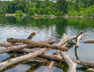
Hike through Donau-Auen National Park, experiencing Vienna’s native flora and fauna as well as wild swimming spots in the river and forest ponds.
Easy Hiking
7.5 km away
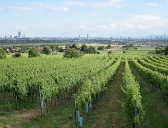
A countryside walk for wine enthusiasts, between inviting heurige and through hillside vineyards overlooking Vienna.
Easy Hiking
8.3 km away
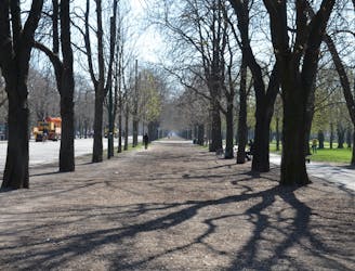
A loop with numerous recreation opportunities and a dose of nature in The Prater, a large public park and green space near the city center.
Easy Hiking
9.2 km away
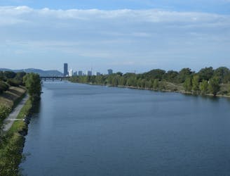
A wide variety of experiences in only a short distance walking, from one side of the Danube to the other.
Easy Hiking
9.3 km away
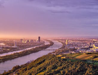
A highlight section of Vienna's "All-Around" hiking trail, climbing from the shore of the Danube to a panorama atop Leopoldsberg.
Difficult Hiking
9.4 km away
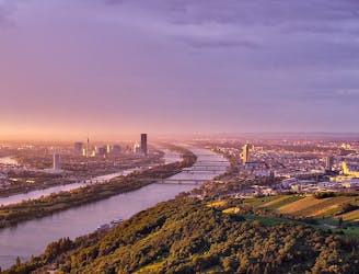
Climb from the Danube waterfront to the best view over Vienna, then continue through forests and fields with opportunities for wine and food tasting.
Moderate Hiking
9.5 km away
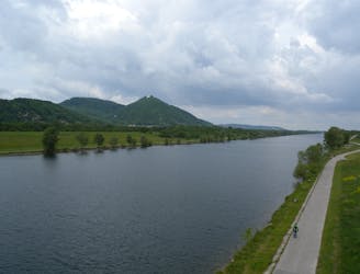
From the wine country down to the Danube, through the interface of city and nature.
Easy Hiking
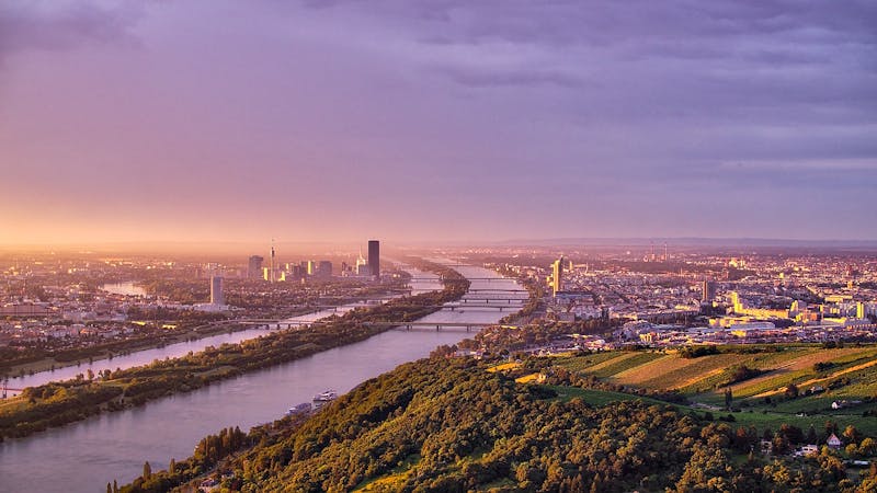
3 routes · Hiking
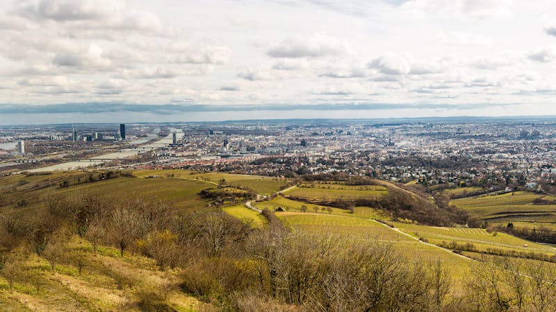
12 routes · Hiking
15 routes · Hiking
7 routes · Hiking