4 km away
Rundumadum: Stages 14, 15, and 16
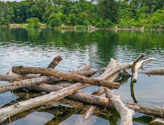
Hike through Donau-Auen National Park, experiencing Vienna’s native flora and fauna as well as wild swimming spots in the river and forest ponds.
Easy Hiking
- Distance
- 12 km
- Ascent
- 35 m
- Descent
- 37 m

Leaving the national park, the route returns to a suburban environment, but with doses of nature in public parks and farm fields.
Hiking Easy

Stage 17 begins at the border with Donau-Auen national park, and though its still on the Danube floodplain, the landscape looks very different here. Like most of the river’s former plain, this area has been developed for housing and agriculture. Here he Rundumadum links residential streets, country lanes, and park paths to explore the suburban outskirts of Donaustadt.
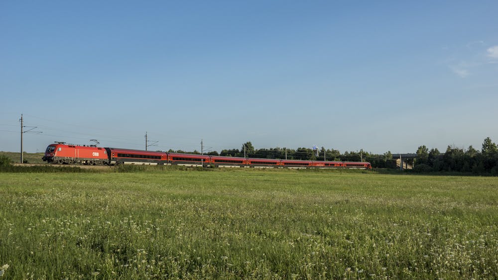
The route goes first through a public park with forest, lawns, playgrounds, and sports fields. It then crosses Esslinger Hauptstrasse, where you can find some restaurants and shops. The next park is a modestly landscaped mix of forest and field, which contains a small and peaceful memorial garden. You can detour from the Rundumadum to wander more of this park and see the nearby Himmelteich (Sky Pond), which is an abandoned arm of the Daunube.
Stage 18 begins near Himmelteich bus stop and continues first along a residential street, but then crosses a railroad and follows dirt lanes through sunny farm fields. This stretch is mostly free of company except for the birds and the bugs, and an occasional farm worker or another hiker. The stage ends at Agavenweg bus stop on Breitenleer Strasse, where options for food and lodging are not far away.
Sources: https://www.wien.gv.at/umwelt/wald/freizeit/wandern/rundumadum/etappe17.html https://www.wien.gv.at/umwelt/wald/freizeit/wandern/rundumadum/etappe18.html
Easy
Walking along a well-kept trail that’s mostly flat. No obstacles are present.
4 km away

Hike through Donau-Auen National Park, experiencing Vienna’s native flora and fauna as well as wild swimming spots in the river and forest ponds.
Easy Hiking
4.7 km away
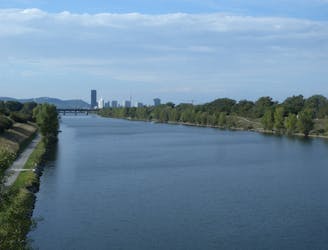
A wide variety of experiences in only a short distance walking, from one side of the Danube to the other.
Easy Hiking
5.6 km away
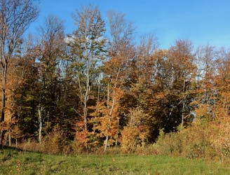
A balance of suburban and rural, forest and field, land and sky, on the outskirts of Donaustadt.
Easy Hiking
5.9 km away

A stroll on the edge of the city–at the nexus of nature, agriculture, and industry in Donaustadt.
Easy Hiking
9.6 km away
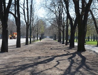
A loop with numerous recreation opportunities and a dose of nature in The Prater, a large public park and green space near the city center.
Easy Hiking
12 routes · Hiking
15 routes · Hiking
7 routes · Hiking