2.9 km away
Rundumadum: Stages 14, 15, and 16
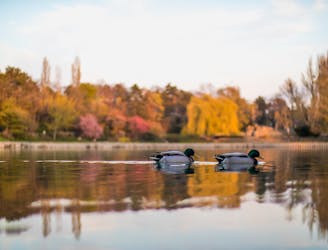
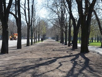
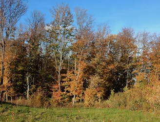
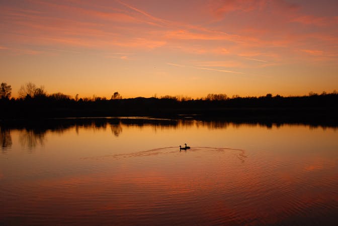
Hike through Donau-Auen National Park, experiencing Vienna’s native flora and fauna as well as wild swimming spots in the river and forest ponds.
Easy Hiking
- Distance
- 12 km
- Ascent
- 35 m
- Descent
- 37 m
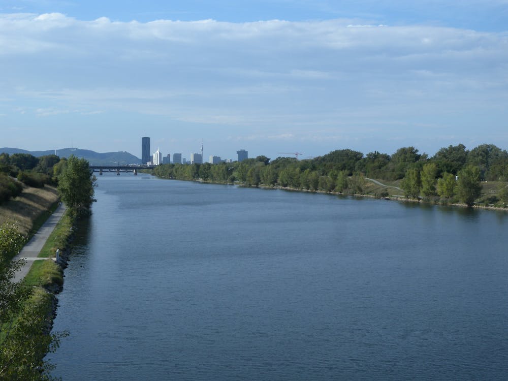
A wide variety of experiences in only a short distance walking, from one side of the Danube to the other.
Hiking Easy

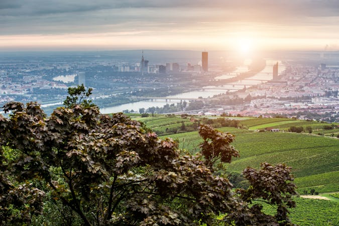
This stage of the Rundumadum bridges the Danube to connect Simmering, Leopoldstadt, and Donaustadt districts while combining samples of industry, nature, sports, culture, and cuisine–and all this in less than 4.5 kilometers of walking. It also meets the doorstep of Danube-Auen National Park, where a more intimate experience with nature awaits.
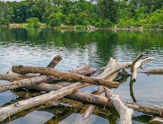
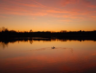
From Zinnergasse station in New Albern, follow the bridge over the Danube Canal. If you are already hungry, you’ll be happy to find the casual fare and outdoor seating of Donauweibchen restaurant right away. Next you’ll witness an impressive piece of infrastructure, by crossing over the Freudenau locks and hydroelectric dam that harness the river. On the other side is a more natural display in the forests, meadows, and ponds of Danube Island. Here the Rundumadum leads through Toter Grund, a nature reserve and nudist bathing area. You can choose to follow the wide, paved path along the shore, or deviate to the island’s interior and find secluded swimming spots.
You may see rowing teams on the water, and coaches on bikes sharing the straight path, because you’re passing Vienna’s rowing training center. There is also a restaurant and a public grill park beside the water. Nearby you can find the Vienna Watersports Arena and a cycling race course. Sports enthusiasts will certainly feel at home here.
Next you’ll cross a bridge over the New Danube and come to Roter Hiasl, a good place to refuel with typical Viennese food and drink. This ends the stage near Raffineriestrasse/Biberhaufenweg station of bus 92B, and the entrance to the national park.
Sources: https://www.wien.gv.at/umwelt/wald/freizeit/wandern/rundumadum/etappe13.html
Easy
Walking along a well-kept trail that’s mostly flat. No obstacles are present.

The path is on completely flat land and potential injury is limited to falling over.
Close to help in case of emergency.
2.9 km away
Hike through Donau-Auen National Park, experiencing Vienna’s native flora and fauna as well as wild swimming spots in the river and forest ponds.
Easy Hiking
4.7 km away
Leaving the national park, the route returns to a suburban environment, but with doses of nature in public parks and farm fields.
Easy Hiking
7.1 km away
A nicely varied path that connects city streets, forest recreation areas, an amusement park, and countryside farms in the southern part of Vienna.
Easy Hiking
8.3 km away
A loop with numerous recreation opportunities and a dose of nature in The Prater, a large public park and green space near the city center.
Easy Hiking
9.2 km away

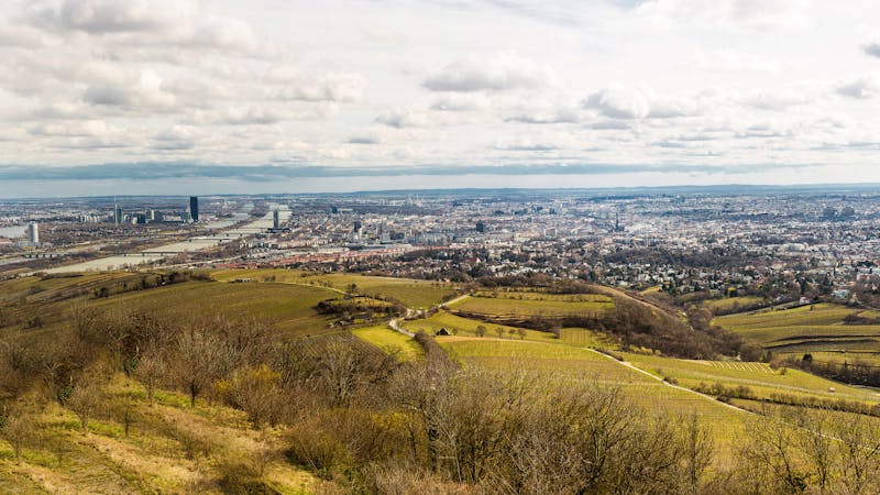
A stroll on the edge of the city–at the nexus of nature, agriculture, and industry in Donaustadt.
Easy Hiking
9.4 km away
A balance of suburban and rural, forest and field, land and sky, on the outskirts of Donaustadt.
Easy Hiking
9.4 km away
A walk through the varied environments of Favoriten and Simmering districts, which include forest parks, urban farms, the Central Cemetery, and eventually the Danube.
Easy Hiking
12 routes · Hiking
15 routes · Hiking
7 routes · Hiking