4 km away
Niederer Rumpler
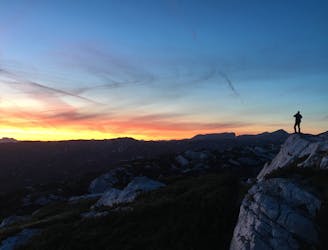
Hike to an exposed point above the Gjald Alm Hut.
Severe Hiking
- Distance
- 4.3 km
- Ascent
- 283 m
- Descent
- 283 m
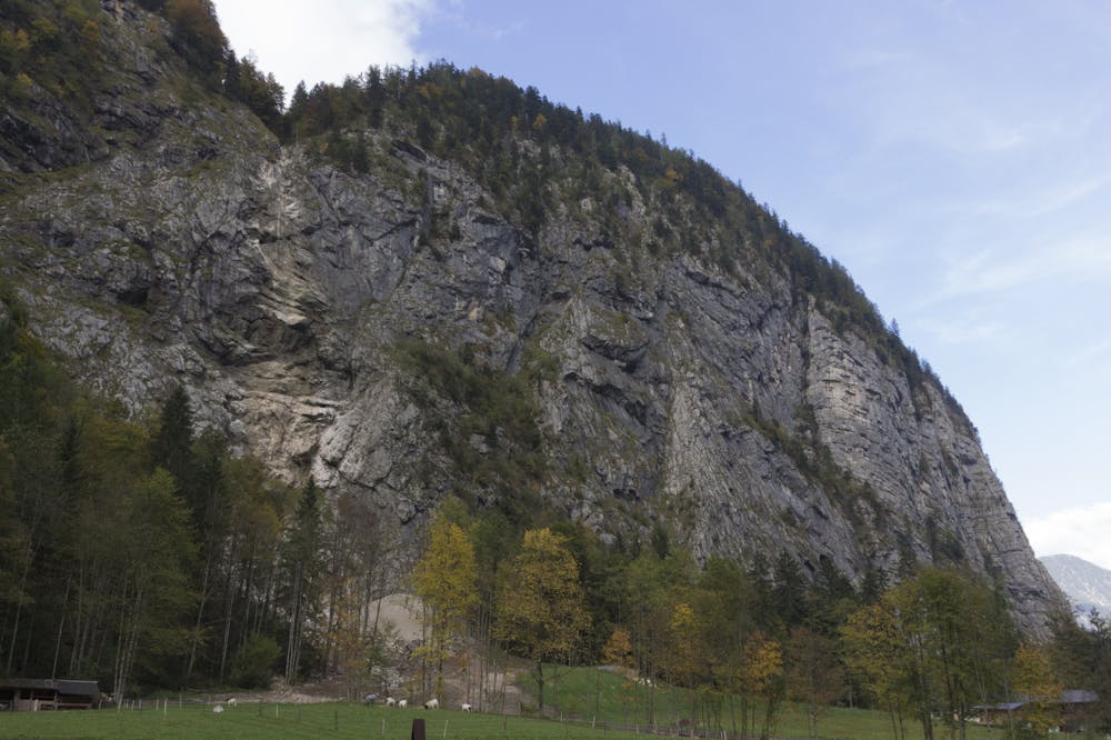
Guided tour: Simonyhütte - Wiesberghaus - Tiergartenhütte - Echerntal - Hallstatt
Hiking Difficult

This hiking trail is a long downhill hike on the easy to walk former Franz-Josef-Reitsteig, which was laid out as early as the 19th century and provided access to the Dachstein plateau, from the hut over the first steep slope down to the almost vegetation-free Wildkar and the valley station of the material cable car. Now over hilly terrain towards the north, straight on at the turnoff to the Gjaidalm, then past the Niederen Ochsenkogel to the east and slightly downhill to the Wiesberghaus (Friends of Nature House), which is 1872 m above sea level. (about 1 hour away from the Simonyhütte) The hiking trail continues through sparse woodland with Swiss stone pines and larches down to the beautiful alpine pasture floor of the Wiesalm, 1689 m. Now through the so-called Herrengasse to a Karwinkel, where the unmanaged Tiergartenhütte is located. The path winds down along steep walls until you meet a forest road at the "Alter Herd". Continue straight on the wide path, cross the forest road twice and then descend to the thundering forest stream. On the right we continue to the bridge over the Waldbach, from where you can enjoy an overwhelming view of the waterfalls of the Waldbachstrub. Now on the steep forest road downhill, through a short tunnel and then to the valley station of the material cable car, which leads to the Wiesberghaus. On the road you continue down into the valley, or turn left through the glacier garden, which is well worth seeing, down into the valley and to the car park at the Simony monument. On the Echerntalstraße you go downhill to the Hallstättersee and left along the lake shore to the destination Hallstatt.: "To the 360° panorama tour through Hallstatt ...
Difficult
Hiking trails where obstacles such as rocks or roots are prevalent. Some obstacles can require care to step over or around. At times, the trail can be worn and eroded. The grade of the trail is generally quite steep, and can often lead to strenuous hiking.
4 km away
Hike to an exposed point above the Gjald Alm Hut.
Severe Hiking