18 m away
Niederer Rumpler
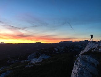
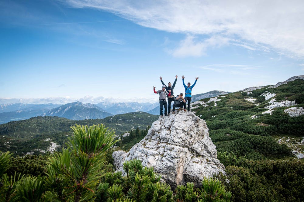
Hike to an exposed point above the Gjald Alm Hut.
Severe Hiking
- Distance
- 4.3 km
- Ascent
- 283 m
- Descent
- 283 m
10km hut-to-hut hike
Hiking Moderate

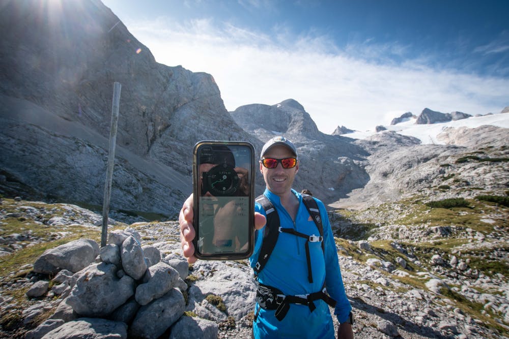
Team FATMAP went out to the Austrian mountains for the annual company retreat and explored the area surround the Gjaid All hut.
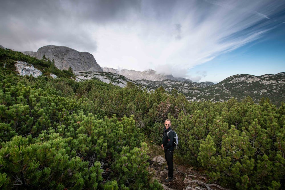
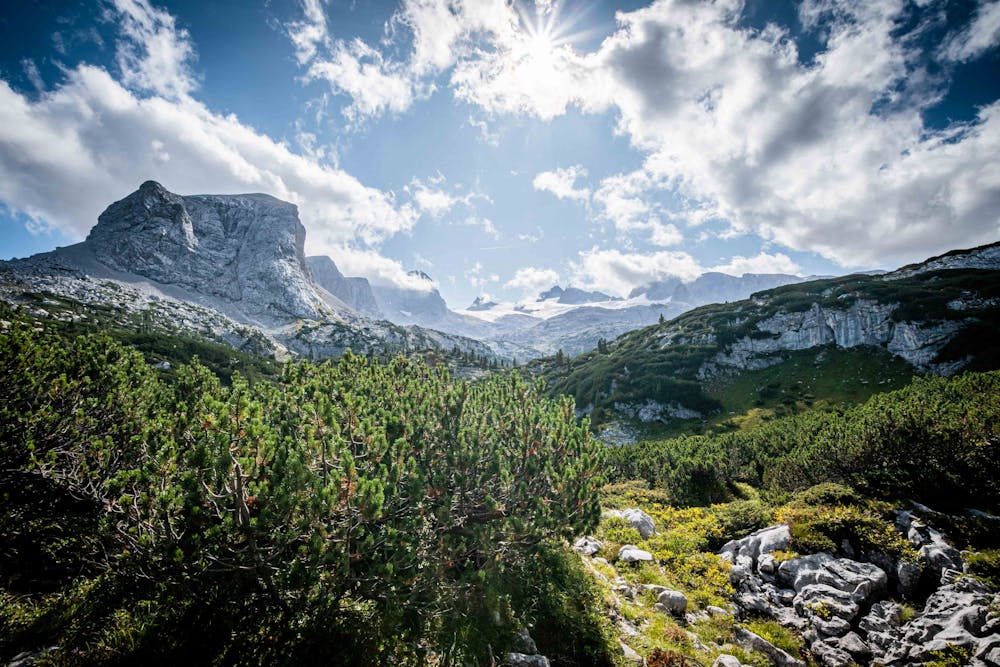
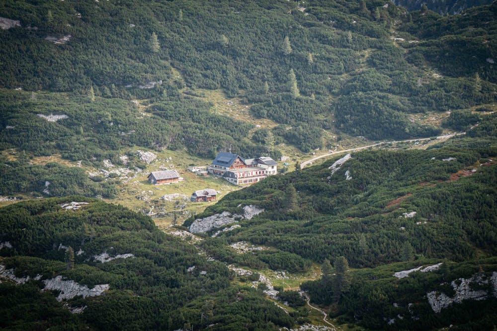
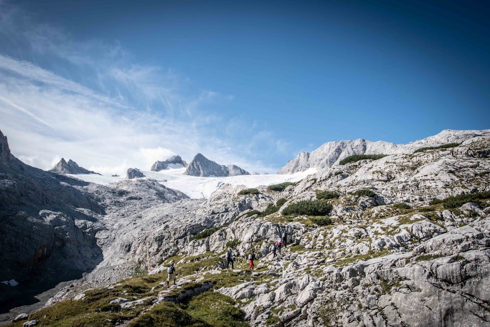
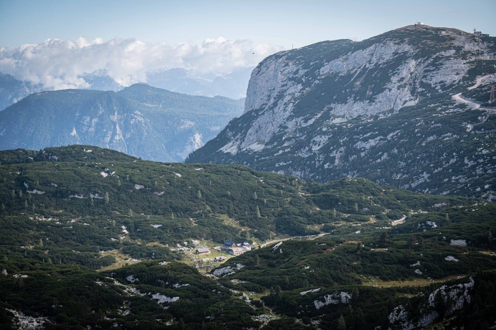
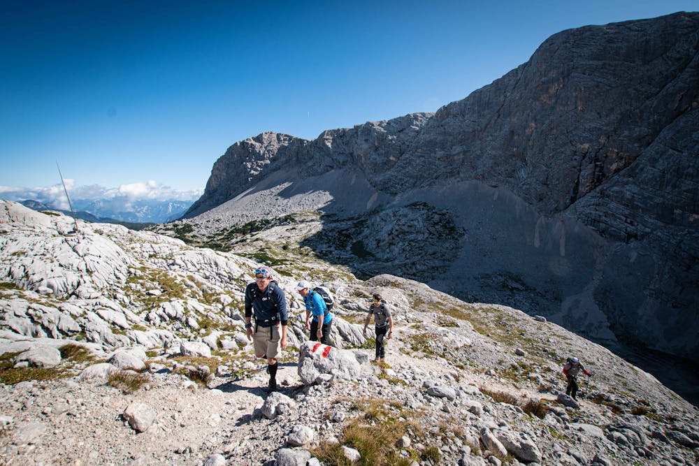

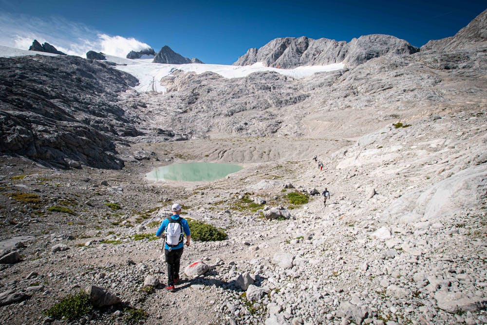
This 10km hike takes you through a wide range of scenery and epic views of the Hallstatter Glacier and Lake.
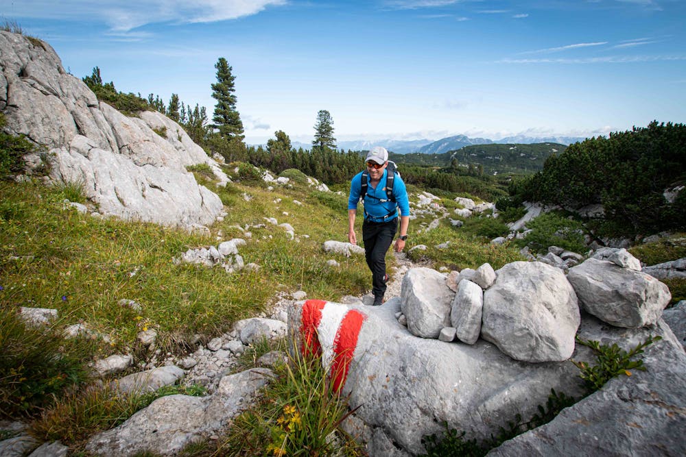
Good footwear is recommended as the path can be steep and loose with a little bit of scrambling involved.
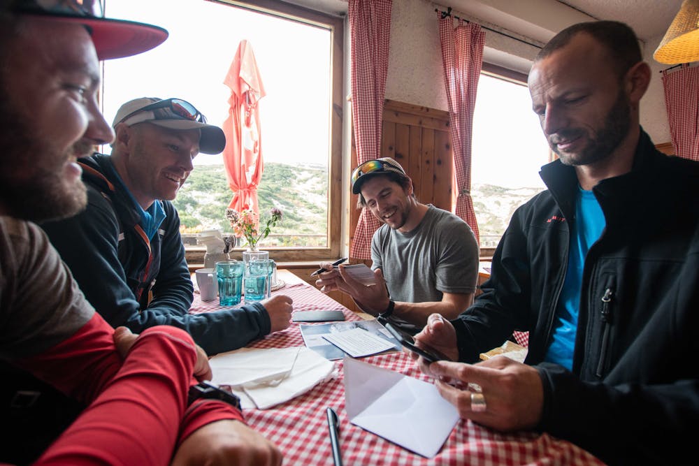
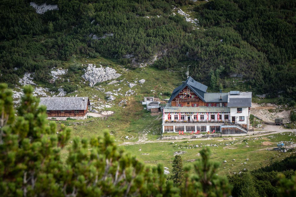
Food and drinks are available on the route at the Simony Hut and Wiebsach Haus.
Moderate
Hiking along trails with some uneven terrain and small hills. Small rocks and roots may be present.
18 m away
Hike to an exposed point above the Gjald Alm Hut.
Severe Hiking