3 m away
Niederer Rumpler
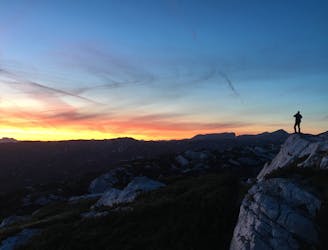
Hike to an exposed point above the Gjald Alm Hut.
Severe Hiking
- Distance
- 4.3 km
- Ascent
- 283 m
- Descent
- 283 m
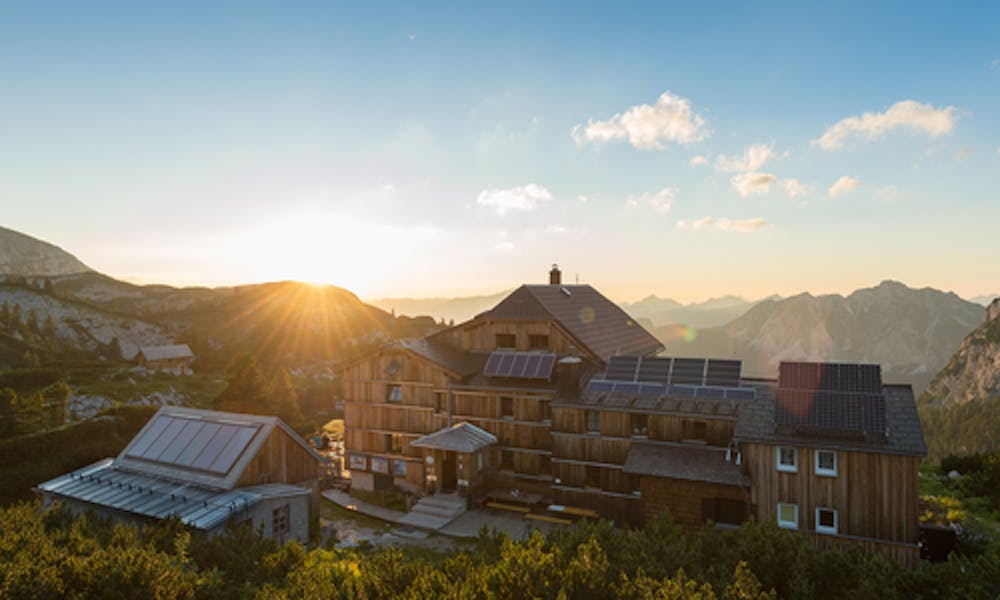
Easy hike from Gjaid Alm to Wiesberghaus and back
Hiking Easy

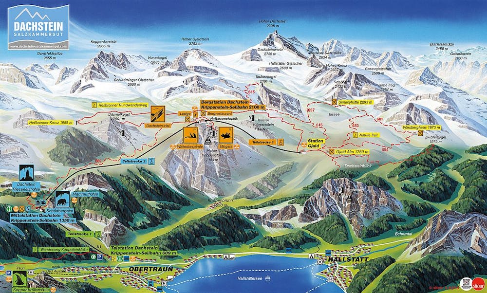
From the Gjaidalm follow a well signposted path to the west towards Simonyhütte and Wiesberghaus. After about 45 minutes the path divides. Follow the signpost to the Wiesberghaus, which you will reach after hiking another 45 minutes through the rugged stone landscape of the Dachstein.
Easy
Walking along a well-kept trail that’s mostly flat. No obstacles are present.
3 m away
Hike to an exposed point above the Gjald Alm Hut.
Severe Hiking