5.2 km away
Niederer Rumpler
Hike to an exposed point above the Gjald Alm Hut.
Severe Hiking
- Distance
- 4.3 km
- Ascent
- 283 m
- Descent
- 283 m
You have the choice to either take the Salzberg funicular to the Salzberg, or to hike up in serpentines high above Hallstatt through a forest of banns.
Hiking Difficult

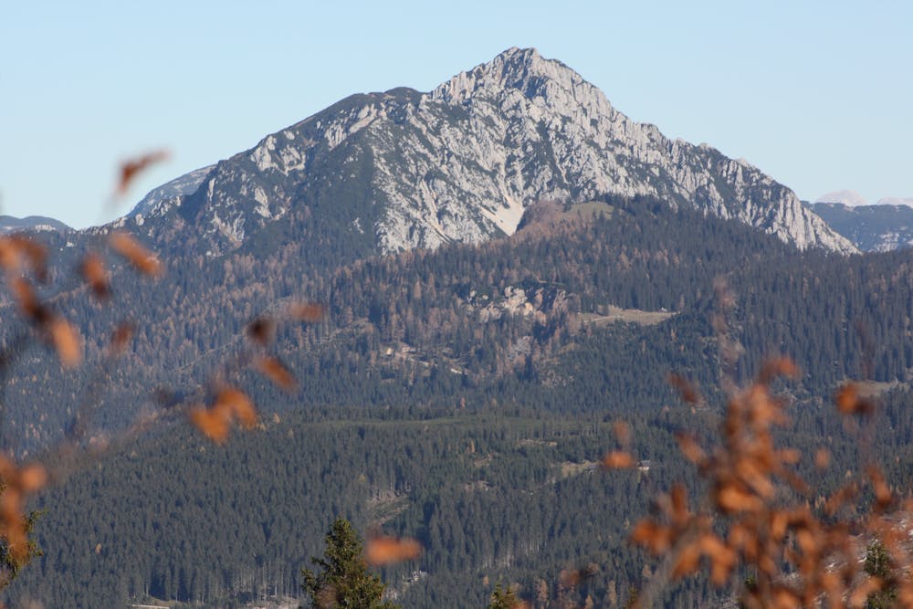
At the top, we hike up to the Salzberg on a wide, steep path no. 640. Passing the miners' houses, we always have the mighty structure of this mighty mountain in front of us.
On the forest road to the right and in steep bends to the Hohe Wasserstollen (those who prefer it leisurely can also stay on the forest road). The actual Plassenweg begins above the water tunnel. You then walk between mountain pines, grass and rubble on a small saddle until you come to a somewhat more difficult piece, but secured with a steel rope. After we have overcome this place, one can already enjoy the wonderful view of the powerful Dachstein massif.
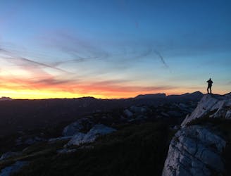
Arrived at the summit with its imposing summit cross, a unique panorama is offered, the peaks of the Gosaukamm show themselves in infinite beauty, on clear days you can see not only the Schafberg at the Wolfgangsee, but also the Bavarian mountains.
The descent then follows path n. 643, which you come to on the left in the depression below the summit. Past rock towers and in serpentines through crags and mountain pines down into a rocky ditch. Soon after you will cross path no. 645, where you keep to the right and descend to a forest road leading to the Salzberg.
From there you have the choice whether you want to take the funicular again or walk over the "Schlaipen" and through the Echerntal back to Hallstatt. That means a "detour" of about 2 hours, which is really worth it.
Order hiking maps to the Dachstein Salzkammergut region ...
( http://dachstein.salzkammergut.at/kartenbestellung.html ) To the 360° Panorama Tour through Hallstatt ... ( https://www.dachstein-panorama.at/?s=pano68565&utmsource=tourdata&utmmedium=textlink&utmcampaign=tourdata360tour )
Mountain rescue: 140
equipment
Difficult
Hiking trails where obstacles such as rocks or roots are prevalent. Some obstacles can require care to step over or around. At times, the trail can be worn and eroded. The grade of the trail is generally quite steep, and can often lead to strenuous hiking.
5.2 km away
Hike to an exposed point above the Gjald Alm Hut.
Severe Hiking